While the left side wins the takeoff with Cebu City and a distant volcano, the right side delivers a rare mid-flight highlight when the route passes close to Jeju Island's Hallasan volcano, followed by a landing sequence over Korea's coastline and the Seoul skyline — giving the right side more sustained scenic interest across the whole flight.
Flight Path
Philippine Sea east of Luzon, the Bashi Channel between Luzon and Taiwan, open East China Sea, and Jeju Island's Hallasan volcano just before the Korean coast
Great circle distance and headings ›Phase by phase
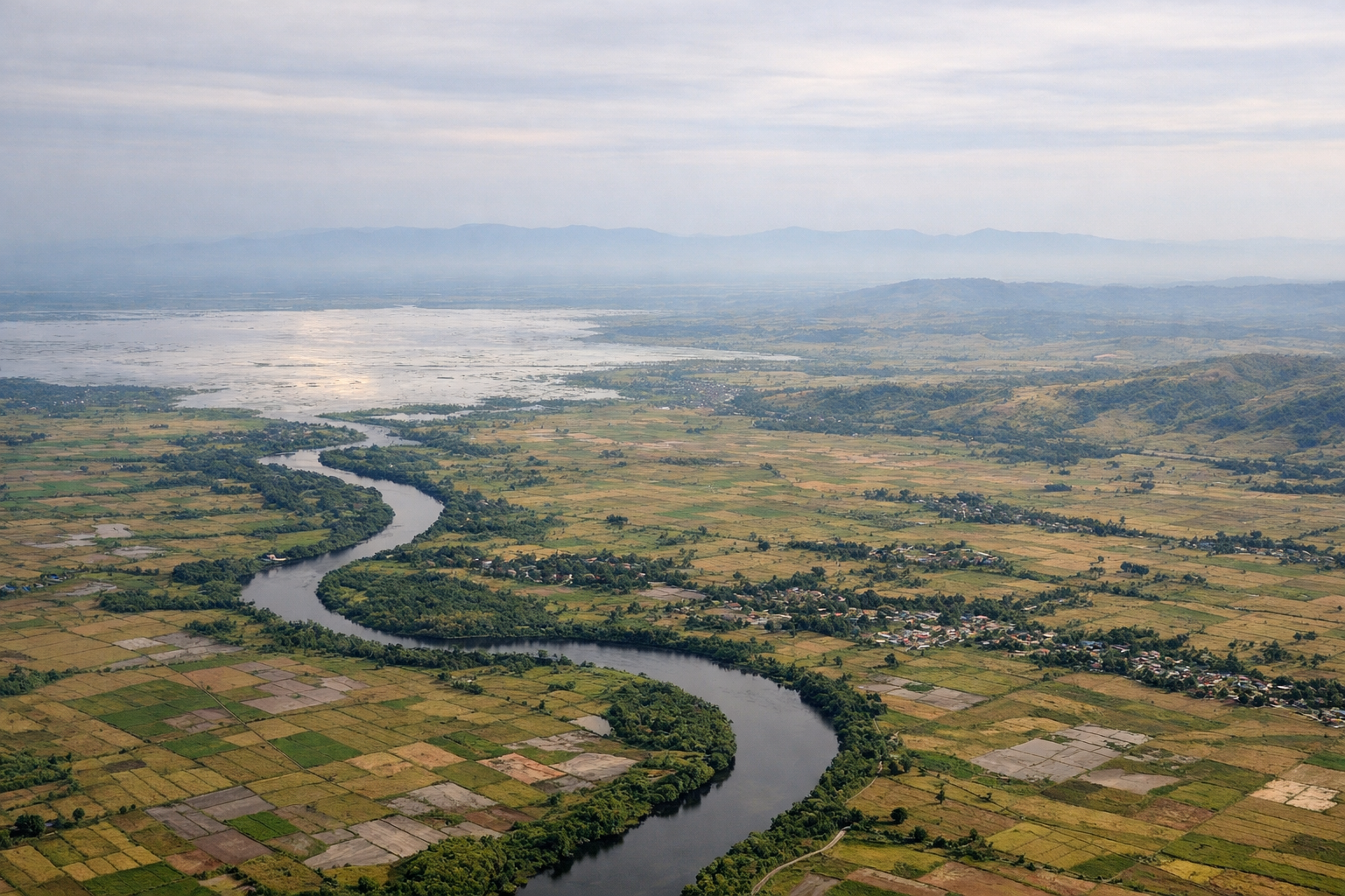
Takeoff from CEB
LEFTDeparting CEB toward the northeast and then banking left onto the northbound track puts Cebu City's skyline, the Mactan channel, and the island's central mountain spine right under the left wing. As the climb continues, Negros Island's Kanlaon Volcano becomes visible across the Tañon Strait, a dramatic detail the right side misses entirely.
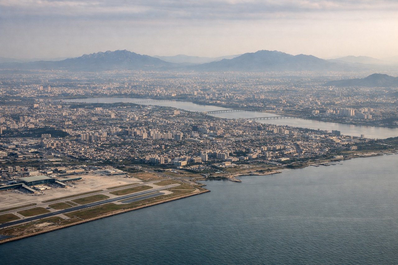
Landing at ICN
RIGHTOn the descent into Incheon from the south, the aircraft tracks along Korea's western coastal plain before turning onto final approach. The right side faces the Korean mainland, revealing the Han River estuary, the distant Seoul skyline, and the tidal mudflats and islands near Incheon, while the left side only shows open Yellow Sea.
Will your flight be in sunlight?
See exactly which side of the plane gets sun and shade at your departure time.
About This Route
Which side of the plane should I sit on flying from Mactan Cebu International Airport (CEB) to Incheon International (ICN)?
Sit on the Right side of the plane for the best views on flights from Cebu to Seoul. While the left side wins the takeoff with Cebu City and a distant volcano, the right side delivers a rare mid-flight highlight when the route passes close to Jeju Island's Hallasan volcano, followed by a landing sequence over Korea's coastline and the Seoul skyline — giving the right side more sustained scenic interest across the whole flight.
What can I see during takeoff from Mactan Cebu International Airport in Cebu?
During takeoff from Mactan Cebu International Airport (CEB), sit on the Left side for the best views. Departing CEB toward the northeast and then banking left onto the northbound track puts Cebu City's skyline, the Mactan channel, and the island's central mountain spine right under the left wing. As the climb continues, Negros Island's Kanlaon Volcano becomes visible across the Tañon Strait, a dramatic detail the right side misses entirely. Notable sights include: Cebu City skyline, Mactan Channel bridges, Cebu's central mountain ridge, Kanlaon Volcano (Negros) in the distance.
What can I see when landing at Incheon International in Seoul?
When landing at Incheon International (ICN), sit on the Right side for the best views. On the descent into Incheon from the south, the aircraft tracks along Korea's western coastal plain before turning onto final approach. The right side faces the Korean mainland, revealing the Han River estuary, the distant Seoul skyline, and the tidal mudflats and islands near Incheon, while the left side only shows open Yellow Sea. Notable sights include: Han River estuary, distant Seoul skyline, Incheon tidal mudflats, Yeongjong Island bridges.
How long is the flight from Cebu to Seoul?
The flight from Mactan Cebu International Airport (CEB) to Incheon International (ICN) takes 3h55m.
What does the Cebu to Seoul flight path pass over?
Philippine Sea east of Luzon, the Bashi Channel between Luzon and Taiwan, open East China Sea, and Jeju Island's Hallasan volcano just before the Korean coast