The right side delivers a richer sequence of landmarks across the whole flight — Incheon's coastal islands at departure, Jeju Island and Taiwan's mountains glimpsed during cruise, and Cebu's city skyline and mountain ridge on arrival — while the left side is dominated by open, featureless sea for most of the journey.
Flight Path
The route crosses the East China Sea near Jeju Island, continues over the Philippine Sea east of Taiwan, passes near northern Luzon's Sierra Madre range, and descends through the Visayan Sea toward Cebu.
Great circle distance and headings ›Phase by phase
Takeoff from ICN
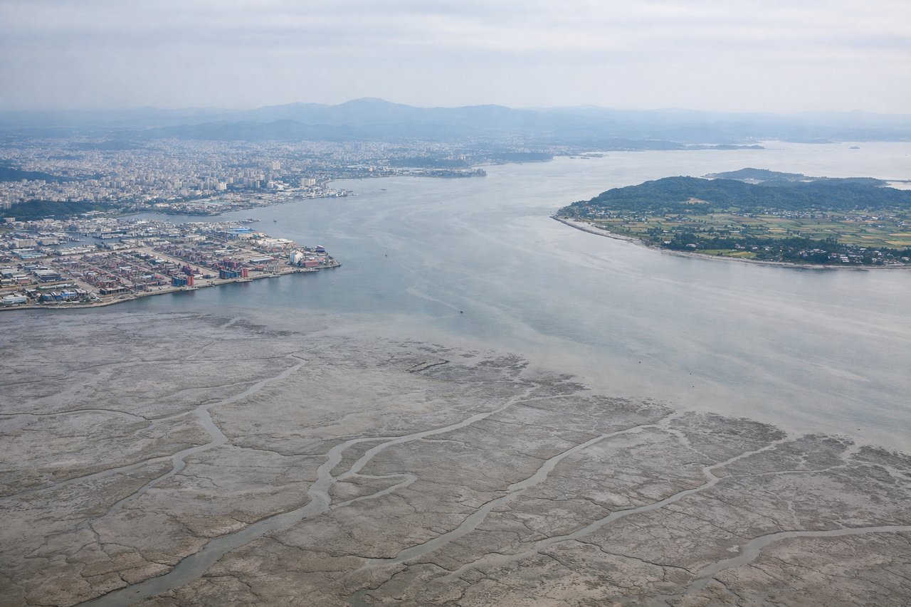
RIGHTDeparting ICN toward the south, the right side looks out over Incheon's tidal-flat coastline, the Incheon Bridge, and the scattered low islands of the Yellow Sea, while the left side only offers a hazy, distant glimpse of Seoul far to the northeast.
Landing at CEB
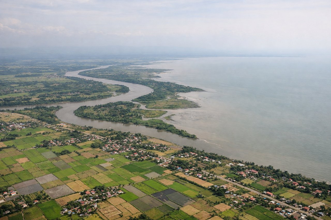
RIGHTOn final approach into Mactan-Cebu, the right side faces Cebu Island itself, showing Cebu City's skyline, the green central mountain ridge behind it, and the narrow Mactan Channel, while the left side shows only open Camotes Sea water.
Landmarks on this routeAll landmarks →
Will your flight be in sunlight?
See exactly which side of the plane gets sun and shade at your departure time.
About This Route
Which side of the plane should I sit on flying from Incheon International (ICN) to Mactan Cebu International Airport (CEB)?
Sit on the Right side of the plane for the best views on flights from Seoul to Cebu. The right side delivers a richer sequence of landmarks across the whole flight — Incheon's coastal islands at departure, Jeju Island and Taiwan's mountains glimpsed during cruise, and Cebu's city skyline and mountain ridge on arrival — while the left side is dominated by open, featureless sea for most of the journey.
What can I see during takeoff from Incheon International in Seoul?
During takeoff from Incheon International (ICN), sit on the Right side for the best views. Departing ICN toward the south, the right side looks out over Incheon's tidal-flat coastline, the Incheon Bridge, and the scattered low islands of the Yellow Sea, while the left side only offers a hazy, distant glimpse of Seoul far to the northeast. Notable sights include: Incheon Bridge, Yellow Sea tidal-flat islands, Songdo coastline, Ganghwa Island in the distance.
What can I see when landing at Mactan Cebu International Airport in Cebu?
When landing at Mactan Cebu International Airport (CEB), sit on the Right side for the best views. On final approach into Mactan-Cebu, the right side faces Cebu Island itself, showing Cebu City's skyline, the green central mountain ridge behind it, and the narrow Mactan Channel, while the left side shows only open Camotes Sea water. Notable sights include: Cebu City skyline, Cebu's central mountain ridge, Mactan Channel, Olango Island reef flats.
How long is the flight from Seoul to Cebu?
The flight from Incheon International (ICN) to Mactan Cebu International Airport (CEB) takes 4h 15m.
What does the Seoul to Cebu flight path pass over?
The route crosses the East China Sea near Jeju Island, continues over the Philippine Sea east of Taiwan, passes near northern Luzon's Sierra Madre range, and descends through the Visayan Sea toward Cebu.