The left side wins on both ends of this short hop: Mindanao's mountain backdrop during takeoff and Cebu City's skyline with the Mactan bridges during landing give it real terrain and urban interest, while the right side is dominated by open, featureless sea for nearly the entire flight.
Flown CGY to CEB? Did we get it right?
Flight Path
Ladag to Cebu is 122 miles (196 km), a flight of about 55 minutes.
Bohol Sea open water, distant Camotes Islands, northern coastline of Bohol island visible to the east during cruise
Great circle distance and headings ›Phase by phase
Takeoff from CGY
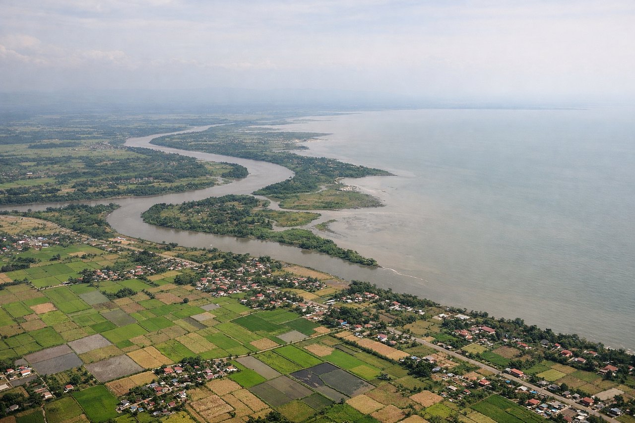
LEFTClimbing out of Laguindingan, the left side faces south toward Mindanao's interior, where the Kitanglad-Kalatungan mountain range rises sharply behind the coastal plain of Misamis Oriental. The right side only shows the flat, featureless waters of Macajalar Bay opening onto the Bohol Sea.
Landing at CEB
LEFTOn approach into Mactan-Cebu, the left side offers views of Cebu City's dense skyline and the narrow channel separating Mactan Island from the Cebu mainland, spanned by two visible bridges. The right side mostly shows the open Camotes Sea with only the distant silhouette of Bohol island.
Will your flight be in sunlight?
Pick a date and time in the Sun Map to watch the sun move across your whole flight.
About This Route
Which side of the plane should I sit on flying from Laguindingan International Airport (CGY) to Mactan Cebu International Airport (CEB)?
Sit on the Left side of the plane for the best views on flights from Ladag to Cebu. The left side wins on both ends of this short hop: Mindanao's mountain backdrop during takeoff and Cebu City's skyline with the Mactan bridges during landing give it real terrain and urban interest, while the right side is dominated by open, featureless sea for nearly the entire flight.
What can I see during takeoff from Laguindingan International Airport in Ladag?
During takeoff from Laguindingan International Airport (CGY), sit on the Left side for the best views. Climbing out of Laguindingan, the left side faces south toward Mindanao's interior, where the Kitanglad-Kalatungan mountain range rises sharply behind the coastal plain of Misamis Oriental. The right side only shows the flat, featureless waters of Macajalar Bay opening onto the Bohol Sea. Notable sights include: Kitanglad Mountain Range, Mount Kalatungan, Macajalar Bay coastline, Misamis Oriental coastal plain.
What can I see when landing at Mactan Cebu International Airport in Cebu?
When landing at Mactan Cebu International Airport (CEB), sit on the Left side for the best views. On approach into Mactan-Cebu, the left side offers views of Cebu City's dense skyline and the narrow channel separating Mactan Island from the Cebu mainland, spanned by two visible bridges. The right side mostly shows the open Camotes Sea with only the distant silhouette of Bohol island. Notable sights include: Cebu City skyline, Mactan-Cebu Bridge and Marcelo Fernan Bridge, Cebu Strait, Cebu's central mountain spine.
How long is the flight from Ladag to Cebu?
The flight from Laguindingan International Airport (CGY) to Mactan Cebu International Airport (CEB) takes about 55 minutes. The shortest flight path between them is 122 miles (196 km); winds and air traffic control usually add a few percent.
What does the Ladag to Cebu flight path pass over?
Bohol Sea open water, distant Camotes Islands, northern coastline of Bohol island visible to the east during cruise