Right side edges ahead due to slightly better departure views of the Brazos River valley and significantly superior landing views of the Houston Ship Channel and industrial corridor—the only genuinely distinctive visual features on this short, flat route. Both sides score low because the flight crosses entirely flat Texas terrain with minimal elevation change, no mountains, no coastline, and limited landmark density. This is a short regional hop (approximately 45 minutes) over agricultural and industrial plains.
Flown CLL to IAH? Did we get it right?
Flight Path
College Station to Houston is 74 miles (119 km), a flight of about 45 minutes.
Navasota River valley, scattered small towns and agricultural fields between College Station and Houston, transition from rural Grimes County to suburban development north of Houston
Great circle distance and headings ›Phase by phase
Takeoff from CLL
RIGHTRight side offers slightly better views of College Station's urban grid and the surrounding Brazos River valley during initial climb. Left side faces open farmland with minimal landmarks during departure.
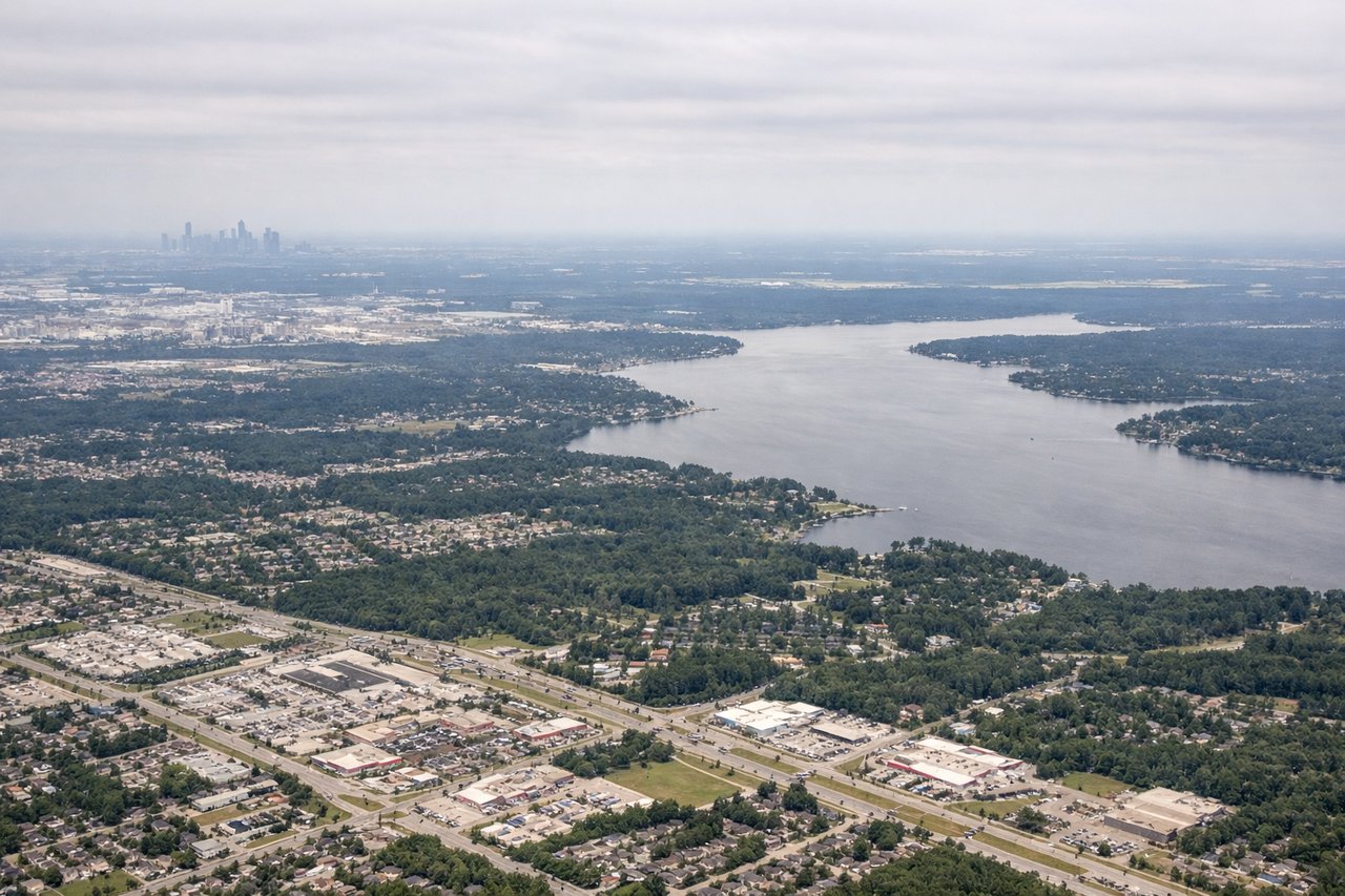
Landing at IAH
RIGHTRight side provides views of the Houston Ship Channel, industrial refineries, and the approach corridor into IAH from the north. Left side faces open prairie and scattered development with less visual interest during descent.
Will your flight be in sunlight?
Pick a date and time in the Sun Map to watch the sun move across your whole flight.
About This Route
Which side of the plane should I sit on flying from Easterwood Fld (CLL) to George Bush Intcntl Houston (IAH)?
Sit on the Right side of the plane for the best views on flights from College Station to Houston. Right side edges ahead due to slightly better departure views of the Brazos River valley and significantly superior landing views of the Houston Ship Channel and industrial corridor—the only genuinely distinctive visual features on this short, flat route. Both sides score low because the flight crosses entirely flat Texas terrain with minimal elevation change, no mountains, no coastline, and limited landmark density. This is a short regional hop (approximately 45 minutes) over agricultural and industrial plains.
What can I see during takeoff from Easterwood Fld in College Station?
During takeoff from Easterwood Fld (CLL), sit on the Right side for the best views. Right side offers slightly better views of College Station's urban grid and the surrounding Brazos River valley during initial climb. Left side faces open farmland with minimal landmarks during departure. Notable sights include: College Station urban area, Brazos River, Texas A&M campus perimeter, flat agricultural plains extending south.
What can I see when landing at George Bush Intcntl Houston in Houston?
When landing at George Bush Intcntl Houston (IAH), sit on the Right side for the best views. Right side provides views of the Houston Ship Channel, industrial refineries, and the approach corridor into IAH from the north. Left side faces open prairie and scattered development with less visual interest during descent. Notable sights include: Houston Ship Channel, industrial petrochemical complex along the channel, Galveston Bay in far distance, IAH runway complex.
How long is the flight from College Station to Houston?
The flight from Easterwood Fld (CLL) to George Bush Intcntl Houston (IAH) takes about 45 minutes. The shortest flight path between them is 74 miles (119 km); winds and air traffic control usually add a few percent.
What does the College Station to Houston flight path pass over?
Navasota River valley, scattered small towns and agricultural fields between College Station and Houston, transition from rural Grimes County to suburban development north of Houston