Moab to Denver is 282 miles (454 km), a flight of about 1 hour 15 minutes.
The Moab departure offers significantly more dramatic and varied terrain throughout the flight. The takeoff showcases world-class red rock formations, canyons, and mountains that are visually distinctive and geologically spectacular. While Denver's Front Range approach is scenic, it cannot match the intensity and uniqueness of the Arches/Canyonlands landscape. The cruise segment between the two airports crosses the high desert plateau with some mesa formations, but the departure scenery is the dominant visual experience on this route.
Flight Path
Uncompahgre Plateau, San Juan Mountains (southern flank), high desert scrubland and mesas of western Colorado, transition from red rock country to higher elevation plateau terrain
Great circle distance and headings ›
.jpg?width=600)
Phase by phase
Takeoff from CNY
LEFTLeft side captures the dramatic red rock formations and canyon systems immediately surrounding Moab during climb-out. The Colorado River valley, Arches National Park features, and the La Sal Mountains dominate the western and southwestern view as the aircraft gains altitude.
Landing at DEN
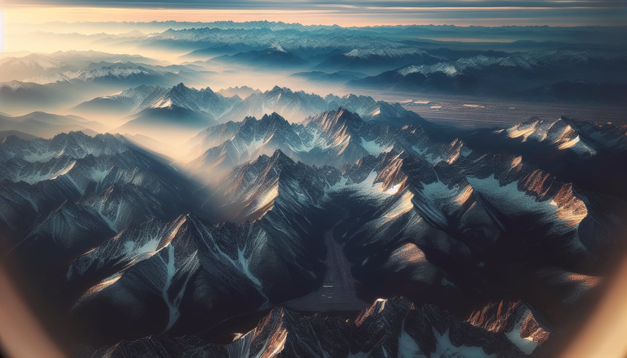
RIGHTRight side offers the best approach views into Denver International. As the aircraft descends from the northeast, the right side captures the Front Range of the Rocky Mountains, the Denver metropolitan area sprawl, and the transition from high plains to urban development. The mountain backdrop and city lights during final approach provide strong visual interest.
Landmarks on this routeAll landmarks →
Will your flight be in sunlight?
Pick a date and time in the Sun Map to watch the sun move across your whole flight.
About This Route
Which side of the plane should I sit on flying from Canyonlands Regional Airport (CNY) to Denver International (DEN)?
Sit on the Left side of the plane for the best views on flights from Moab to Denver. The Moab departure offers significantly more dramatic and varied terrain throughout the flight. The takeoff showcases world-class red rock formations, canyons, and mountains that are visually distinctive and geologically spectacular. While Denver's Front Range approach is scenic, it cannot match the intensity and uniqueness of the Arches/Canyonlands landscape. The cruise segment between the two airports crosses the high desert plateau with some mesa formations, but the departure scenery is the dominant visual experience on this route.
What can I see during takeoff from Canyonlands Regional Airport in Moab?
During takeoff from Canyonlands Regional Airport (CNY), sit on the Left side for the best views. Left side captures the dramatic red rock formations and canyon systems immediately surrounding Moab during climb-out. The Colorado River valley, Arches National Park features, and the La Sal Mountains dominate the western and southwestern view as the aircraft gains altitude. Notable sights include: Arches National Park (distinctive natural arches and fins), La Sal Mountains (snow-capped peaks to the south), Colorado River canyon system, Canyonlands National Park mesa formations.
What can I see when landing at Denver International in Denver?
When landing at Denver International (DEN), sit on the Right side for the best views. Right side offers the best approach views into Denver International. As the aircraft descends from the northeast, the right side captures the Front Range of the Rocky Mountains, the Denver metropolitan area sprawl, and the transition from high plains to urban development. The mountain backdrop and city lights during final approach provide strong visual interest. Notable sights include: Front Range Rocky Mountains (Longs Peak, Mount Evans visible on clear days), Denver metropolitan area and downtown skyline, South Platte River valley, High Plains terrain east of the city.
How long is the flight from Moab to Denver?
The flight from Canyonlands Regional Airport (CNY) to Denver International (DEN) takes about 1 hour 15 minutes. The shortest flight path between them is 282 miles (454 km); winds and air traffic control usually add a few percent.
What does the Moab to Denver flight path pass over?
Uncompahgre Plateau, San Juan Mountains (southern flank), high desert scrubland and mesas of western Colorado, transition from red rock country to higher elevation plateau terrain