Denver to Moab is 282 miles (454 km), a flight of about 55 minutes.
Left side scores higher due to superior takeoff scenery from Denver's urban base and immediate Rocky Mountain Front Range drama. While right side offers excellent landing views of the Colorado River and La Sal Mountains, the takeoff experience from Denver—with clear views of the city, foothills, and dramatic elevation gain—provides more consistent visual interest across the full flight. The left side captures both the departure urban corridor and sustained mountain scenery throughout cruise.
Flight Path
Book Cliffs escarpment, Roan Plateau, Colorado River drainage system, transition from Front Range to Colorado Plateau geology
Great circle distance and headings ›.jpg?width=600)

Phase by phase
Takeoff from DEN
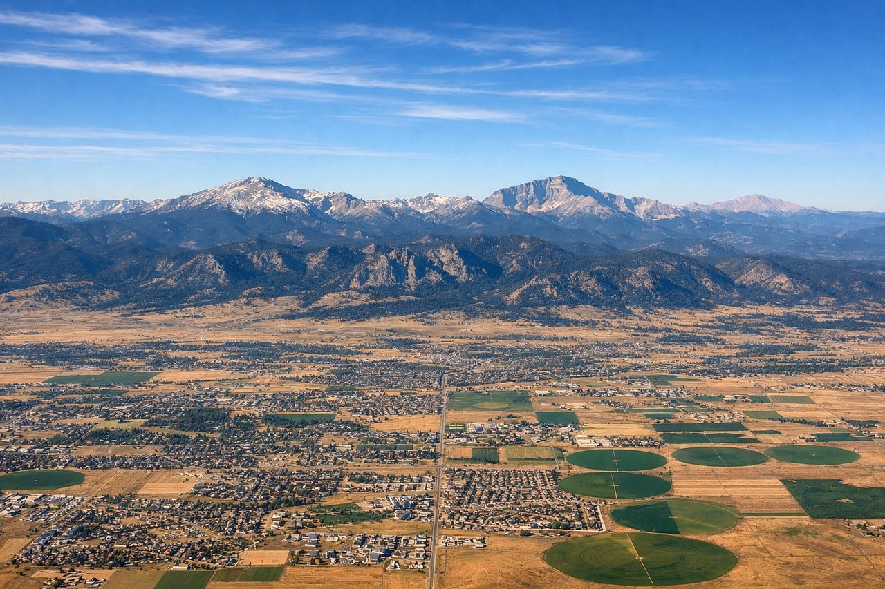
LEFTLeft side captures Denver's urban sprawl and the immediate eastern approach to the Front Range. The Rocky Mountain foothills rise dramatically to the west, creating strong vertical relief and clear terrain definition during climb-out.
Landing at CNY
RIGHTRight side offers superior approach views into Moab. The descent path reveals the Colorado River's dramatic red-rock canyon system, the La Sal Mountains as a prominent backdrop, and the distinctive terrain around Canyonlands National Park. These features create visual drama absent from the left side's approach.
Landmarks on this routeAll landmarks →
Will your flight be in sunlight?
Pick a date and time in the Sun Map to watch the sun move across your whole flight.
About This Route
Which side of the plane should I sit on flying from Denver International (DEN) to Canyonlands Regional Airport (CNY)?
Sit on the Left side of the plane for the best views on flights from Denver to Moab. Left side scores higher due to superior takeoff scenery from Denver's urban base and immediate Rocky Mountain Front Range drama. While right side offers excellent landing views of the Colorado River and La Sal Mountains, the takeoff experience from Denver—with clear views of the city, foothills, and dramatic elevation gain—provides more consistent visual interest across the full flight. The left side captures both the departure urban corridor and sustained mountain scenery throughout cruise.
What can I see during takeoff from Denver International in Denver?
During takeoff from Denver International (DEN), sit on the Left side for the best views. Left side captures Denver's urban sprawl and the immediate eastern approach to the Front Range. The Rocky Mountain foothills rise dramatically to the west, creating strong vertical relief and clear terrain definition during climb-out. Notable sights include: Denver metropolitan area grid, Front Range foothills, South Platte River valley, Interstate 25 corridor.
What can I see when landing at Canyonlands Regional Airport in Moab?
When landing at Canyonlands Regional Airport (CNY), sit on the Right side for the best views. Right side offers superior approach views into Moab. The descent path reveals the Colorado River's dramatic red-rock canyon system, the La Sal Mountains as a prominent backdrop, and the distinctive terrain around Canyonlands National Park. These features create visual drama absent from the left side's approach. Notable sights include: Colorado River canyon, La Sal Mountains, Arches National Park formations, Canyonlands plateau terrain.
How long is the flight from Denver to Moab?
The flight from Denver International (DEN) to Canyonlands Regional Airport (CNY) takes about 55 minutes. The shortest flight path between them is 282 miles (454 km); winds and air traffic control usually add a few percent.
What does the Denver to Moab flight path pass over?
Book Cliffs escarpment, Roan Plateau, Colorado River drainage system, transition from Front Range to Colorado Plateau geology