Both sides score equally at 2.0 due to the short flight duration (approximately 1 hour) over relatively flat terrain with limited dramatic geography. However, the right side edges ahead for the landing experience: Aurangabad's urban approach and the Deccan Plateau's rolling terrain provide more visual interest during descent and final approach than the left side's open plains. For a flight this short and geographically modest, neither side offers exceptional scenery, but right-side passengers get the better of two modest options.
Flown DEL to IXU? Did we get it right?
Flight Path
Delhi to Aurangabad is 610 miles (982 km), a flight of about 1 hour 55 minutes.
The flight path crosses the Deccan Plateau region between Delhi and Aurangabad. Notable features along the route include the transition from the Indo-Gangetic Plain (north) to the Deccan Plateau (south), with scattered agricultural fields, small towns, and low rocky hills becoming more prominent as the aircraft approaches Aurangabad. The Godavari River basin lies to the east of the direct flight path. No major mountain ranges or dramatic terrain features cross the direct routing.
Great circle distance and headings ›Phase by phase
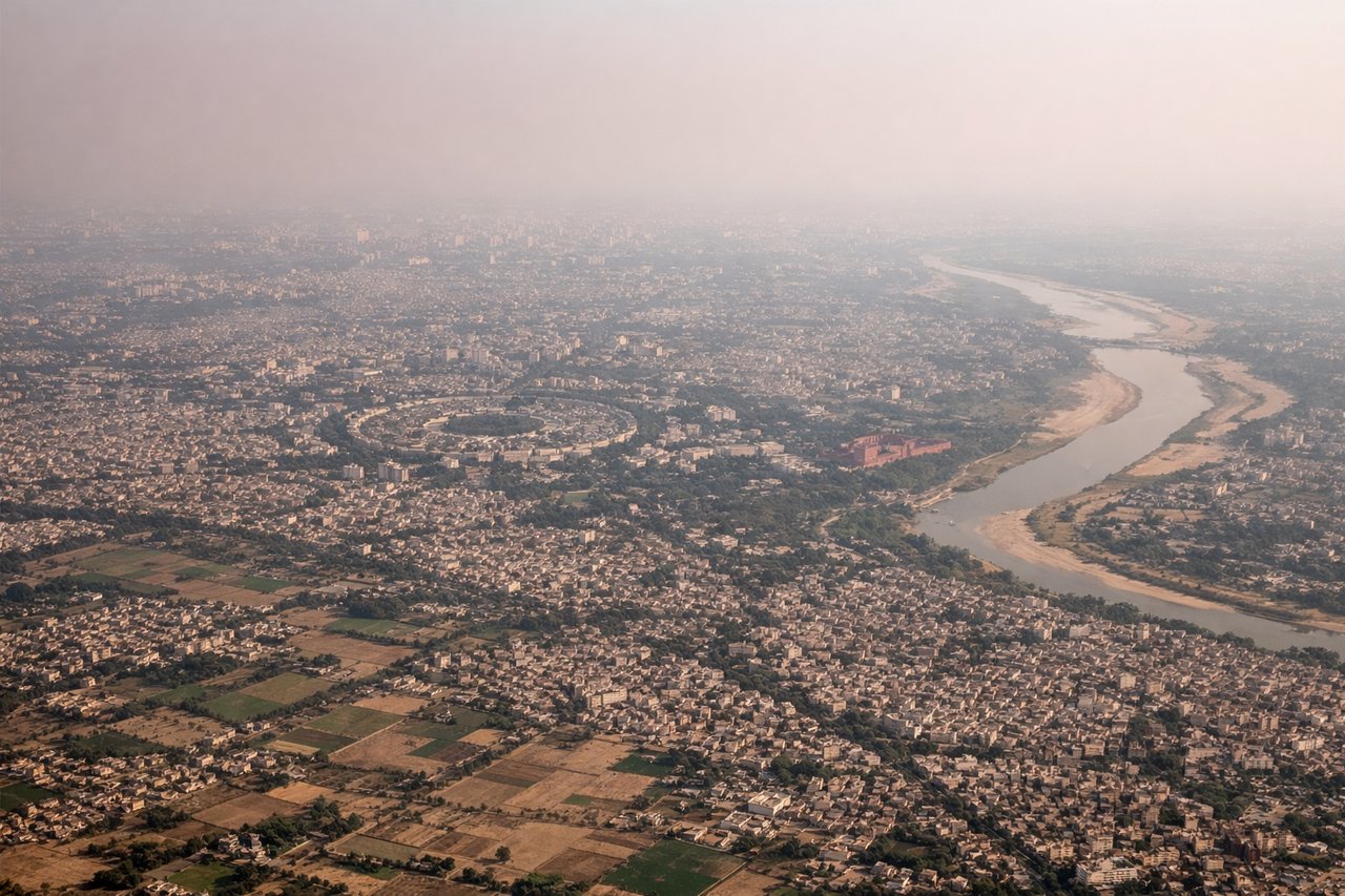
Takeoff from DEL
LEFTLeft side (north) offers views of Delhi's urban sprawl and the Yamuna River valley during initial climb. Right side faces open plains with minimal landmarks during the critical takeoff and climb-out phase.
Landing at IXU
RIGHTRight side (south/southeast) provides views of Aurangabad's approach corridor and the surrounding Deccan Plateau terrain. The descent path typically aligns with runway 09 (easterly approach), positioning right-side passengers to see the city, surrounding hills, and agricultural landscape during final approach.
Will your flight be in sunlight?
Pick a date and time in the Sun Map to watch the sun move across your whole flight.
About This Route
Which side of the plane should I sit on flying from Indira Gandhi International (DEL) to Aurangabad (IXU)?
Sit on the Right side of the plane for the best views on flights from Delhi to Aurangabad. Both sides score equally at 2.0 due to the short flight duration (approximately 1 hour) over relatively flat terrain with limited dramatic geography. However, the right side edges ahead for the landing experience: Aurangabad's urban approach and the Deccan Plateau's rolling terrain provide more visual interest during descent and final approach than the left side's open plains. For a flight this short and geographically modest, neither side offers exceptional scenery, but right-side passengers get the better of two modest options.
What can I see during takeoff from Indira Gandhi International in Delhi?
During takeoff from Indira Gandhi International (DEL), sit on the Left side for the best views. Left side (north) offers views of Delhi's urban sprawl and the Yamuna River valley during initial climb. Right side faces open plains with minimal landmarks during the critical takeoff and climb-out phase. Notable sights include: Yamuna River, Delhi urban grid, Aravalli foothills (distant north), Indira Gandhi International Airport complex.
What can I see when landing at Aurangabad in Aurangabad?
When landing at Aurangabad (IXU), sit on the Right side for the best views. Right side (south/southeast) provides views of Aurangabad's approach corridor and the surrounding Deccan Plateau terrain. The descent path typically aligns with runway 09 (easterly approach), positioning right-side passengers to see the city, surrounding hills, and agricultural landscape during final approach. Notable sights include: Aurangabad city and urban sprawl, Deccan Plateau terrain, Ajanta-Ellora region hills (southwest), agricultural fields and villages.
How long is the flight from Delhi to Aurangabad?
The flight from Indira Gandhi International (DEL) to Aurangabad (IXU) takes about 1 hour 55 minutes. The shortest flight path between them is 610 miles (982 km); winds and air traffic control usually add a few percent.
What does the Delhi to Aurangabad flight path pass over?
The flight path crosses the Deccan Plateau region between Delhi and Aurangabad. Notable features along the route include the transition from the Indo-Gangetic Plain (north) to the Deccan Plateau (south), with scattered agricultural fields, small towns, and low rocky hills becoming more prominent as the aircraft approaches Aurangabad. The Godavari River basin lies to the east of the direct flight path. No major mountain ranges or dramatic terrain features cross the direct routing.