The left side dominates this route. Takeoff offers the dramatic Front Range climb, and even during cruise, the left side faces the Rocky Mountain spine that defines the entire flight path northwestward toward Hayden.
Flown DEN to HDN? Did we get it right?
Flight Path
Denver to Hayden is 141 miles (227 km), a flight of about 1 hour 10 minutes.
Clear Creek drainage, Interstate 25 corridor, transition from Front Range to the Park Range, Routt National Forest boundary, high elevation plateau terrain around 8,000-9,000 feet, scattered reservoirs and ranch lands in the North Park region
Great circle distance and headings ›Phase by phase
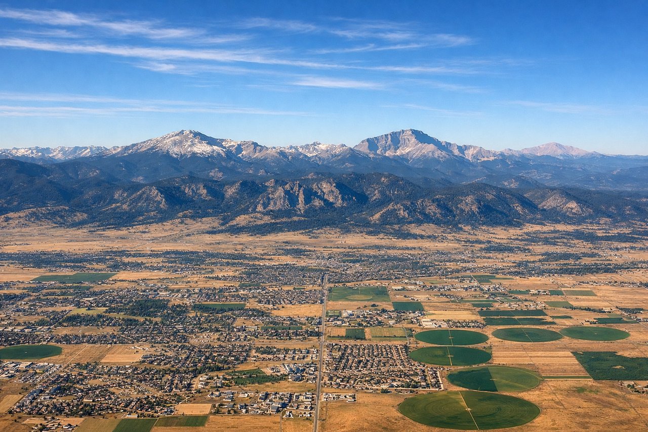
Takeoff from DEN
LEFTClimbing northwest from Denver, the left side offers immediate views of the Front Range and the transition from the Denver metro area to the Rocky Mountain foothills. You'll see the urban sprawl give way to dramatic terrain within minutes.
Landing at HDN
RIGHTOn approach to Yampa Valley Airport from the southeast, the right side captures the Yampa River valley, the surrounding high desert terrain, and the approach path over the Routt National Forest. This gives you the best view of the landscape surrounding your destination.
Will your flight be in sunlight?
Pick a date and time in the Sun Map to watch the sun move across your whole flight.
About This Route
Which side of the plane should I sit on flying from Denver International (DEN) to Yampa Valley Airport (HDN)?
Sit on the Left side of the plane for the best views on flights from Denver to Hayden. The left side dominates this route. Takeoff offers the dramatic Front Range climb, and even during cruise, the left side faces the Rocky Mountain spine that defines the entire flight path northwestward toward Hayden.
What can I see during takeoff from Denver International in Denver?
During takeoff from Denver International (DEN), sit on the Left side for the best views. Climbing northwest from Denver, the left side offers immediate views of the Front Range and the transition from the Denver metro area to the Rocky Mountain foothills. You'll see the urban sprawl give way to dramatic terrain within minutes. Notable sights include: Denver metropolitan area (below and receding), Front Range peaks including Mount Evans and Mount Bierstadt, Clear Creek valley, Boulder and Flatirons to the north.
What can I see when landing at Yampa Valley Airport in Hayden?
When landing at Yampa Valley Airport (HDN), sit on the Right side for the best views. On approach to Yampa Valley Airport from the southeast, the right side captures the Yampa River valley, the surrounding high desert terrain, and the approach path over the Routt National Forest. This gives you the best view of the landscape surrounding your destination. Notable sights include: Yampa River valley (narrow, meandering), Routt National Forest (dense conifer coverage), Elk River drainage to the south, high desert scrubland and sagebrush terrain.
How long is the flight from Denver to Hayden?
The flight from Denver International (DEN) to Yampa Valley Airport (HDN) takes about 1 hour 10 minutes. The shortest flight path between them is 141 miles (227 km); winds and air traffic control usually add a few percent.
What does the Denver to Hayden flight path pass over?
Clear Creek drainage, Interstate 25 corridor, transition from Front Range to the Park Range, Routt National Forest boundary, high elevation plateau terrain around 8,000-9,000 feet, scattered reservoirs and ranch lands in the North Park region