While the takeoff offers dramatic mountain scenery, the landing approach provides more sustained and distinctive views. The Snake River Plain and Snake River are the defining geographic features of this route, and they're best seen from the right side during descent. The flight path itself follows the natural corridor northward through Colorado and into Idaho.
Flown DEN to IDA? Did we get it right?
Flight Path
Denver to Idaho Falls is 457 miles (736 km), a flight of about 1 hour 25 minutes.
As you climb out of Denver and cruise northwestward, you'll pass over the Park Range and the Colorado River headwaters region (visible from left side around 20-25 minutes into flight). The landscape transitions from high mountain terrain to the higher-elevation plateaus of northwestern Colorado. By midpoint, you're crossing into the Great Basin transition zone. The North Platte River drainage and various high desert valleys become visible. As you approach Idaho, the terrain gradually descends toward the Snake River Plain. The Wasatch Range may be visible to the east (left side) during the latter portion of the flight if visibility is excellent.
Great circle distance and headings ›Phase by phase
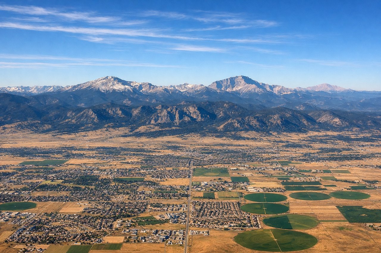
Takeoff from DEN
LEFTLeft side offers immediate views of the Front Range as the aircraft climbs northwestward from Denver. You'll see the Rocky Mountain foothills and peaks rising dramatically as you gain altitude over the first 10-15 minutes of flight.
Landing at IDA
RIGHTRight side provides the best views during descent into Idaho Falls. The Snake River Plain becomes visible as you approach from the south, and you'll see the Snake River itself winding through the valley before landing. The Teton Range may be visible to the east on clear days.
Will your flight be in sunlight?
Pick a date and time in the Sun Map to watch the sun move across your whole flight.
About This Route
Which side of the plane should I sit on flying from Denver International (DEN) to Idaho Falls Regional Airport (IDA)?
Sit on the Right side of the plane for the best views on flights from Denver to Idaho Falls. While the takeoff offers dramatic mountain scenery, the landing approach provides more sustained and distinctive views. The Snake River Plain and Snake River are the defining geographic features of this route, and they're best seen from the right side during descent. The flight path itself follows the natural corridor northward through Colorado and into Idaho.
What can I see during takeoff from Denver International in Denver?
During takeoff from Denver International (DEN), sit on the Left side for the best views. Left side offers immediate views of the Front Range as the aircraft climbs northwestward from Denver. You'll see the Rocky Mountain foothills and peaks rising dramatically as you gain altitude over the first 10-15 minutes of flight. Notable sights include: Front Range peaks (including Mount Evans and Longs Peak in the distance), Denver metropolitan area sprawl to the south and east, South Platte River valley, foothills transition zone.
What can I see when landing at Idaho Falls Regional Airport in Idaho Falls?
When landing at Idaho Falls Regional Airport (IDA), sit on the Right side for the best views. Right side provides the best views during descent into Idaho Falls. The Snake River Plain becomes visible as you approach from the south, and you'll see the Snake River itself winding through the valley before landing. The Teton Range may be visible to the east on clear days. Notable sights include: Snake River Plain (flat agricultural terrain), Snake River (visible as a meandering waterway), Teton Range (distant eastern horizon), Idaho Falls city grid and surrounding farmland.
How long is the flight from Denver to Idaho Falls?
The flight from Denver International (DEN) to Idaho Falls Regional Airport (IDA) takes about 1 hour 25 minutes. The shortest flight path between them is 457 miles (736 km); winds and air traffic control usually add a few percent.
What does the Denver to Idaho Falls flight path pass over?
As you climb out of Denver and cruise northwestward, you'll pass over the Park Range and the Colorado River headwaters region (visible from left side around 20-25 minutes into flight). The landscape transitions from high mountain terrain to the higher-elevation plateaus of northwestern Colorado. By midpoint, you're crossing into the Great Basin transition zone. The North Platte River drainage and various high desert valleys become visible. As you approach Idaho, the terrain gradually descends toward the Snake River Plain. The Wasatch Range may be visible to the east (left side) during the latter portion of the flight if visibility is excellent.