The right side scores higher due to the dramatic river confluence and basin geography visible during descent into Pasco, plus distant Cascade views. While Denver's takeoff offers mountain drama, the landing approach on the right captures the most distinctive and recognizable geographic feature of the entire route—the convergence of three major rivers in an otherwise flat, arid landscape. The contrast between the basin floor and distant mountains provides more visual variety than the left side's consistent mountain-to-plains transition.
Flown DEN to PSC? Did we get it right?
Flight Path
Denver to Pasco is 851 miles (1,370 km), a flight of about 1 hour 50 minutes.
Wallowa Valley (Oregon-Washington border), Blue Mountains, Grande Ronde Valley, transition from high desert to Columbia Basin floor, scattered volcanic buttes and ridges throughout central Oregon and Washington
Great circle distance and headings ›Phase by phase
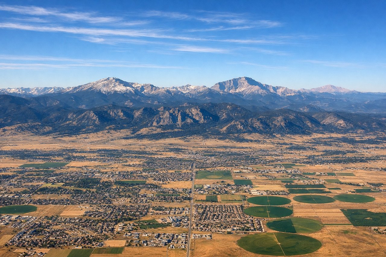
Takeoff from DEN
LEFTDenver's high-altitude departure offers immediate views of the Front Range and the city sprawl below. The left side captures the eastern face of the Rocky Mountains as the aircraft climbs northeast toward the Columbia Basin.
Landing at PSC
RIGHTThe right side provides superior views during the approach to Tri-Cities. As the aircraft descends into the Columbia Basin, the right side faces the Cascade Range to the west and the confluence of the Columbia, Snake, and Yakima rivers—the defining geographic feature of Pasco's location.
Will your flight be in sunlight?
Pick a date and time in the Sun Map to watch the sun move across your whole flight.
About This Route
Which side of the plane should I sit on flying from Denver International (DEN) to Tri Cities Airport (PSC)?
Sit on the Right side of the plane for the best views on flights from Denver to Pasco. The right side scores higher due to the dramatic river confluence and basin geography visible during descent into Pasco, plus distant Cascade views. While Denver's takeoff offers mountain drama, the landing approach on the right captures the most distinctive and recognizable geographic feature of the entire route—the convergence of three major rivers in an otherwise flat, arid landscape. The contrast between the basin floor and distant mountains provides more visual variety than the left side's consistent mountain-to-plains transition.
What can I see during takeoff from Denver International in Denver?
During takeoff from Denver International (DEN), sit on the Left side for the best views. Denver's high-altitude departure offers immediate views of the Front Range and the city sprawl below. The left side captures the eastern face of the Rocky Mountains as the aircraft climbs northeast toward the Columbia Basin. Notable sights include: Front Range peaks (Mount Evans, Longs Peak region), Denver metropolitan area grid, South Platte River valley.
What can I see when landing at Tri Cities Airport in Pasco?
When landing at Tri Cities Airport (PSC), sit on the Right side for the best views. The right side provides superior views during the approach to Tri-Cities. As the aircraft descends into the Columbia Basin, the right side faces the Cascade Range to the west and the confluence of the Columbia, Snake, and Yakima rivers—the defining geographic feature of Pasco's location. Notable sights include: Columbia River, Snake River confluence, Yakima River, Cascade Range (distant western horizon).
How long is the flight from Denver to Pasco?
The flight from Denver International (DEN) to Tri Cities Airport (PSC) takes about 1 hour 50 minutes. The shortest flight path between them is 851 miles (1,370 km); winds and air traffic control usually add a few percent.
What does the Denver to Pasco flight path pass over?
Wallowa Valley (Oregon-Washington border), Blue Mountains, Grande Ronde Valley, transition from high desert to Columbia Basin floor, scattered volcanic buttes and ridges throughout central Oregon and Washington