The right side scores higher due to superior landing scenery: Mount Shasta's iconic volcanic presence, the Pit River canyon system, and the dramatic transition from valley to Cascade foothills create more visual variety and landmark density than the left side's Denver departure. The takeoff advantage on the left (Front Range views) is outweighed by the landing experience on the right.
Flown DEN to RDD? Did we get it right?
Flight Path
Denver to Redding is 930 miles (1,496 km), a flight of about 2 hours 30 minutes.
Sierra Nevada crest (distant southern horizon during cruise), Lake Tahoe region (far south), Modoc Plateau volcanic terrain, transition from Great Basin to Sacramento Valley
Great circle distance and headings ›

Phase by phase
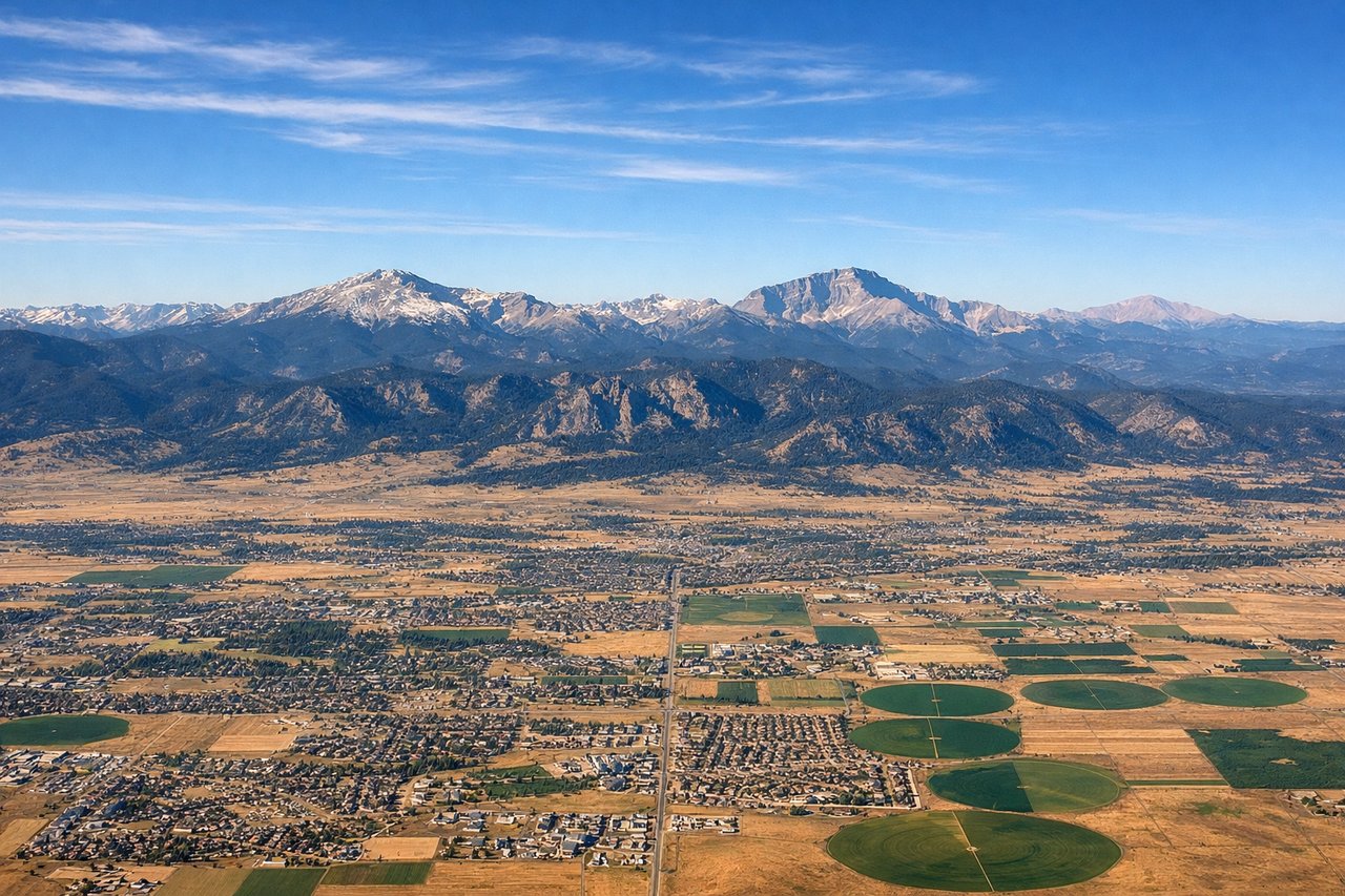
Takeoff from DEN
LEFTDenver's eastern departure corridor offers views of the Front Range foothills and the South Platte River valley. The left side captures the transition from urban Denver to the Rocky Mountain foothills during climb-out.
Landing at RDD
RIGHTThe approach to Redding from the southeast descends over the northern Sacramento Valley and the southern Cascade Range foothills. The right side captures Mount Shasta (visible 60+ miles north on clear days), the Pit River canyon system, and the transition from valley floor to volcanic terrain.
Will your flight be in sunlight?
Pick a date and time in the Sun Map to watch the sun move across your whole flight.
About This Route
Which side of the plane should I sit on flying from Denver International (DEN) to Redding Municipal Airport (RDD)?
Sit on the Right side of the plane for the best views on flights from Denver to Redding. The right side scores higher due to superior landing scenery: Mount Shasta's iconic volcanic presence, the Pit River canyon system, and the dramatic transition from valley to Cascade foothills create more visual variety and landmark density than the left side's Denver departure. The takeoff advantage on the left (Front Range views) is outweighed by the landing experience on the right.
What can I see during takeoff from Denver International in Denver?
During takeoff from Denver International (DEN), sit on the Left side for the best views. Denver's eastern departure corridor offers views of the Front Range foothills and the South Platte River valley. The left side captures the transition from urban Denver to the Rocky Mountain foothills during climb-out. Notable sights include: Downtown Denver skyline, South Platte River, Front Range foothills, Castle Rock formation to the southeast.
What can I see when landing at Redding Municipal Airport in Redding?
When landing at Redding Municipal Airport (RDD), sit on the Right side for the best views. The approach to Redding from the southeast descends over the northern Sacramento Valley and the southern Cascade Range foothills. The right side captures Mount Shasta (visible 60+ miles north on clear days), the Pit River canyon system, and the transition from valley floor to volcanic terrain. Notable sights include: Mount Shasta (distant northern horizon), Pit River canyon, Redding urban area, Lassen Volcanic National Park region to the east.
How long is the flight from Denver to Redding?
The flight from Denver International (DEN) to Redding Municipal Airport (RDD) takes about 2 hours 30 minutes. The shortest flight path between them is 930 miles (1,496 km); winds and air traffic control usually add a few percent.
What does the Denver to Redding flight path pass over?
Sierra Nevada crest (distant southern horizon during cruise), Lake Tahoe region (far south), Modoc Plateau volcanic terrain, transition from Great Basin to Sacramento Valley