While takeoff favors the left side with Denver's urban-mountain contrast, the landing on the right side into Yellowstone's high-elevation basin and caldera rim provides more dramatic alpine scenery and geological interest. The two sides score equally for the cruise segment (northern Colorado and southern Montana mountains), but the approach into Yellowstone's unique geothermal landscape tips the overall advantage to the right. This is a scenic route with genuine mountain drama on both sides, justifying the 3.5 scores.
Flown DEN to WYS? Did we get it right?
Flight Path
Denver to West Yellowstone is 469 miles (754 km), a flight of about 1 hour 15 minutes.
Laramie Range (south of flight path), North Park basin, Medicine Bow Mountains, Rawlins area, Sweetwater River valley, Absaroka Range (east of direct route), Gallatin National Forest
Great circle distance and headings ›

Phase by phase
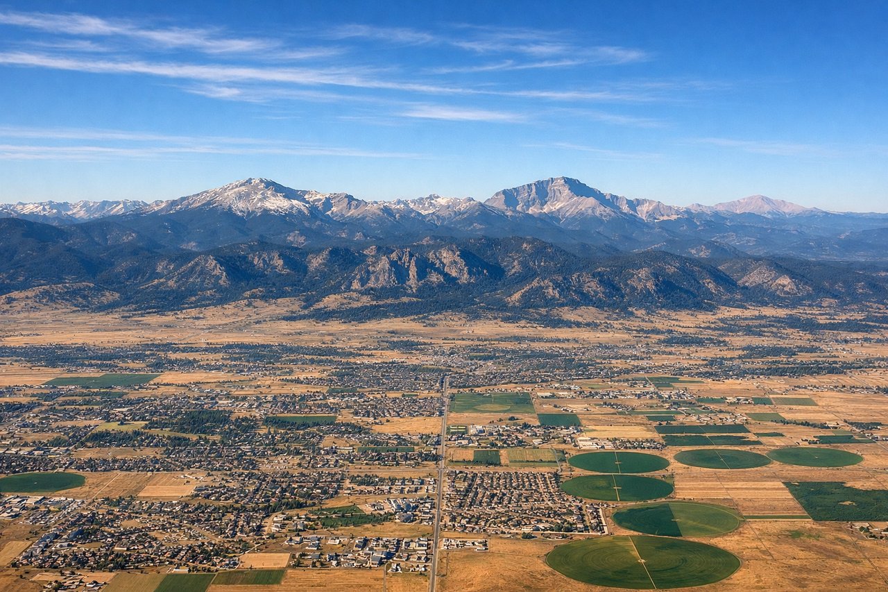
Takeoff from DEN
LEFTLeft side captures Denver's urban sprawl and the immediate Front Range foothills during climb-out. The Rocky Mountain Front rises dramatically to the west, with peaks visible within minutes of departure. Right side shows the eastern plains extending toward Kansas with minimal terrain variation.
Landing at WYS
RIGHTRight side offers the approach into Yellowstone's high-elevation basin with views of the Madison Range and Gallatin Range framing the valley. The descent into West Yellowstone reveals the caldera's northern edge and geothermal features. Left side shows the Absaroka Range but from a less dramatic angle relative to the airport approach.
Will your flight be in sunlight?
Pick a date and time in the Sun Map to watch the sun move across your whole flight.
About This Route
Which side of the plane should I sit on flying from Denver International (DEN) to Yellowstone Airport (WYS)?
Sit on the Right side of the plane for the best views on flights from Denver to West Yellowstone. While takeoff favors the left side with Denver's urban-mountain contrast, the landing on the right side into Yellowstone's high-elevation basin and caldera rim provides more dramatic alpine scenery and geological interest. The two sides score equally for the cruise segment (northern Colorado and southern Montana mountains), but the approach into Yellowstone's unique geothermal landscape tips the overall advantage to the right. This is a scenic route with genuine mountain drama on both sides, justifying the 3.5 scores.
What can I see during takeoff from Denver International in Denver?
During takeoff from Denver International (DEN), sit on the Left side for the best views. Left side captures Denver's urban sprawl and the immediate Front Range foothills during climb-out. The Rocky Mountain Front rises dramatically to the west, with peaks visible within minutes of departure. Right side shows the eastern plains extending toward Kansas with minimal terrain variation. Notable sights include: Denver downtown skyline, Front Range peaks (Mount Evans, Mount Bierstadt visible on clear days), South Platte River valley, foothills west of metro area.
What can I see when landing at Yellowstone Airport in West Yellowstone?
When landing at Yellowstone Airport (WYS), sit on the Right side for the best views. Right side offers the approach into Yellowstone's high-elevation basin with views of the Madison Range and Gallatin Range framing the valley. The descent into West Yellowstone reveals the caldera's northern edge and geothermal features. Left side shows the Absaroka Range but from a less dramatic angle relative to the airport approach. Notable sights include: Madison Range (west side of approach), Gallatin Range (north), Yellowstone caldera rim, West Yellowstone town and runway in valley floor.
How long is the flight from Denver to West Yellowstone?
The flight from Denver International (DEN) to Yellowstone Airport (WYS) takes about 1 hour 15 minutes. The shortest flight path between them is 469 miles (754 km); winds and air traffic control usually add a few percent.
What does the Denver to West Yellowstone flight path pass over?
Laramie Range (south of flight path), North Park basin, Medicine Bow Mountains, Rawlins area, Sweetwater River valley, Absaroka Range (east of direct route), Gallatin National Forest