While takeoff favors the left side with urban scenery, the landing approach on the right side offers more distinctive geographical features—the Mississippi River and Baton Rouge's industrial waterfront are more visually compelling than flat Texas plains. The river delta approach provides greater scenic variety and landmark density for the overall flight.
Flown DFW to BTR? Did we get it right?
Flight Path
Dallas-Fort Worth to Baton Rouge is 383 miles (616 km), a flight of about 1 hour 15 minutes.
East Texas piney woods transitioning to Louisiana coastal plain; Sabine River forming the Texas-Louisiana border; Neches River valley; flat agricultural and forested terrain with minimal elevation change throughout the route
Great circle distance and headings ›Phase by phase
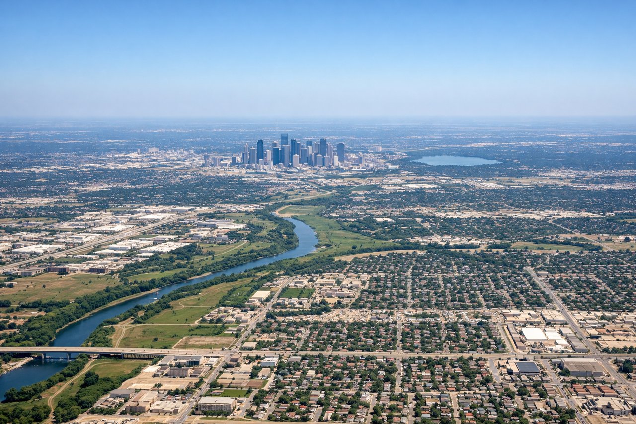
Takeoff from DFW
LEFTLeft side captures the DFW metroplex during departure, with visible urban sprawl, highways, and the airport complex itself. Right side shows only flat Texas plains with minimal landmarks.
Landing at BTR
RIGHTRight side offers views of the Mississippi River delta region and Baton Rouge's industrial waterfront during approach. Left side shows only flat Louisiana swampland and agricultural areas with minimal visual interest.
Will your flight be in sunlight?
Pick a date and time in the Sun Map to watch the sun move across your whole flight.
About This Route
Which side of the plane should I sit on flying from Dallas Fort Worth International (DFW) to Baton Rouge Metro Ryan Fld (BTR)?
Sit on the Right side of the plane for the best views on flights from Dallas-Fort Worth to Baton Rouge. While takeoff favors the left side with urban scenery, the landing approach on the right side offers more distinctive geographical features—the Mississippi River and Baton Rouge's industrial waterfront are more visually compelling than flat Texas plains. The river delta approach provides greater scenic variety and landmark density for the overall flight.
What can I see during takeoff from Dallas Fort Worth International in Dallas-Fort Worth?
During takeoff from Dallas Fort Worth International (DFW), sit on the Left side for the best views. Left side captures the DFW metroplex during departure, with visible urban sprawl, highways, and the airport complex itself. Right side shows only flat Texas plains with minimal landmarks. Notable sights include: Dallas-Fort Worth urban area, Interstate 35E corridor, Trinity River valley.
What can I see when landing at Baton Rouge Metro Ryan Fld in Baton Rouge?
When landing at Baton Rouge Metro Ryan Fld (BTR), sit on the Right side for the best views. Right side offers views of the Mississippi River delta region and Baton Rouge's industrial waterfront during approach. Left side shows only flat Louisiana swampland and agricultural areas with minimal visual interest. Notable sights include: Mississippi River, Baton Rouge industrial corridor, Amite River, Louisiana wetlands.
How long is the flight from Dallas-Fort Worth to Baton Rouge?
The flight from Dallas Fort Worth International (DFW) to Baton Rouge Metro Ryan Fld (BTR) takes about 1 hour 15 minutes. The shortest flight path between them is 383 miles (616 km); winds and air traffic control usually add a few percent.
What does the Dallas-Fort Worth to Baton Rouge flight path pass over?
East Texas piney woods transitioning to Louisiana coastal plain; Sabine River forming the Texas-Louisiana border; Neches River valley; flat agricultural and forested terrain with minimal elevation change throughout the route