Dallas-Fort Worth to San Jose Del Cabo is 1,024 miles (1,648 km), a flight of about 2 hours 55 minutes.
The left side wins overall because while the right side has a decent DFW departure view, the left side delivers the more dramatic scenery mid-flight and on arrival — including the Gulf of Mexico crossing, the Sierra Madre Occidental mountains of northern Mexico in the distance, and the spectacular Sea of Cortez approach into Los Cabos.
Flight Path
The flight tracks southwest over central Texas, crossing the Rio Grande near Laredo or Eagle Pass, then over the Mexican states of Coahuila and Chihuahua. The Sierra Madre Occidental range is visible to the west as a distant ridgeline. The route then crosses the Gulf of California (Sea of Cortez) before descending into the southern tip of Baja California Sur. The terrain transitions from flat Texas scrubland to Mexican desert plateau to the dramatic blue water of the Sea of Cortez.
Great circle distance and headings ›Phase by phase
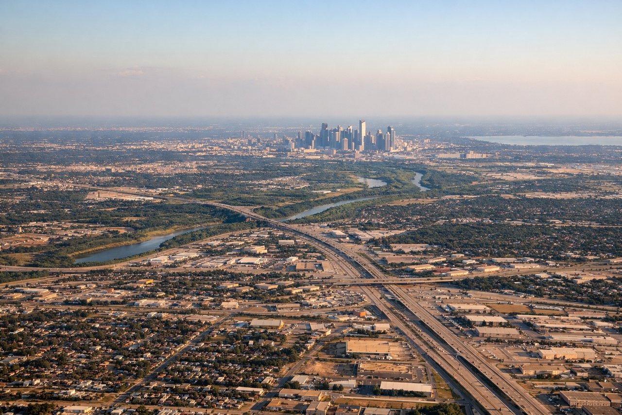
Takeoff from DFW
RIGHTDFW typically departs south or southeast on runways 17/18, meaning a right-side seat faces west and southwest toward Fort Worth and the sprawling DFW metroplex. You get a clear view of the city grid, the Trinity River corridor, and the airport complex itself falling away below.
Landing at SJD
LEFTLos Cabos typically lands on runway 16, approaching from the north over the Baja peninsula. A left-side seat faces east toward the Sea of Cortez, giving you a stunning view of the turquoise water, the rocky Baja coastline, and the distinctive desert peninsula tip as you descend.
Landmarks on this routeAll landmarks →
Will your flight be in sunlight?
Pick a date and time in the Sun Map to watch the sun move across your whole flight.
About This Route
Which side of the plane should I sit on flying from Dallas Fort Worth International (DFW) to Los Cabos International (SJD)?
Sit on the Left side of the plane for the best views on flights from Dallas-Fort Worth to San Jose Del Cabo. The left side wins overall because while the right side has a decent DFW departure view, the left side delivers the more dramatic scenery mid-flight and on arrival — including the Gulf of Mexico crossing, the Sierra Madre Occidental mountains of northern Mexico in the distance, and the spectacular Sea of Cortez approach into Los Cabos.
What can I see during takeoff from Dallas Fort Worth International in Dallas-Fort Worth?
During takeoff from Dallas Fort Worth International (DFW), sit on the Right side for the best views. DFW typically departs south or southeast on runways 17/18, meaning a right-side seat faces west and southwest toward Fort Worth and the sprawling DFW metroplex. You get a clear view of the city grid, the Trinity River corridor, and the airport complex itself falling away below. Notable sights include: Fort Worth downtown skyline, Trinity River, DFW Airport layout, Lake Worth to the northwest.
What can I see when landing at Los Cabos International in San Jose Del Cabo?
When landing at Los Cabos International (SJD), sit on the Left side for the best views. Los Cabos typically lands on runway 16, approaching from the north over the Baja peninsula. A left-side seat faces east toward the Sea of Cortez, giving you a stunning view of the turquoise water, the rocky Baja coastline, and the distinctive desert peninsula tip as you descend. Notable sights include: Sea of Cortez, Baja California Sur coastline, San Jose del Cabo town, Pacific Ocean visible to the west.
How long is the flight from Dallas-Fort Worth to San Jose Del Cabo?
The flight from Dallas Fort Worth International (DFW) to Los Cabos International (SJD) takes about 2 hours 55 minutes. The shortest flight path between them is 1,024 miles (1,648 km); winds and air traffic control usually add a few percent.
What does the Dallas-Fort Worth to San Jose Del Cabo flight path pass over?
The flight tracks southwest over central Texas, crossing the Rio Grande near Laredo or Eagle Pass, then over the Mexican states of Coahuila and Chihuahua. The Sierra Madre Occidental range is visible to the west as a distant ridgeline. The route then crosses the Gulf of California (Sea of Cortez) before descending into the southern tip of Baja California Sur. The terrain transitions from flat Texas scrubland to Mexican desert plateau to the dramatic blue water of the Sea of Cortez.