The left side wins on both ends of the flight: Doha's skyline and coastal geography at departure, and Colombo's coastline and harbor at arrival, while cruise over the Arabian Sea and near southern India also favors views to the left of the flight path.
Flown DOH to CMB? Did we get it right?
Flight Path
Doha to Colombo is 2,245 miles (3,613 km), a flight of about 4 hours 40 minutes.
Open Arabian Sea for most of the crossing, with the flight path passing close to the southern tip of India near Kerala, where the Western Ghats foothills and coastline may be visible in the distance before the approach to Sri Lanka.
Great circle distance and headings ›


Phase by phase
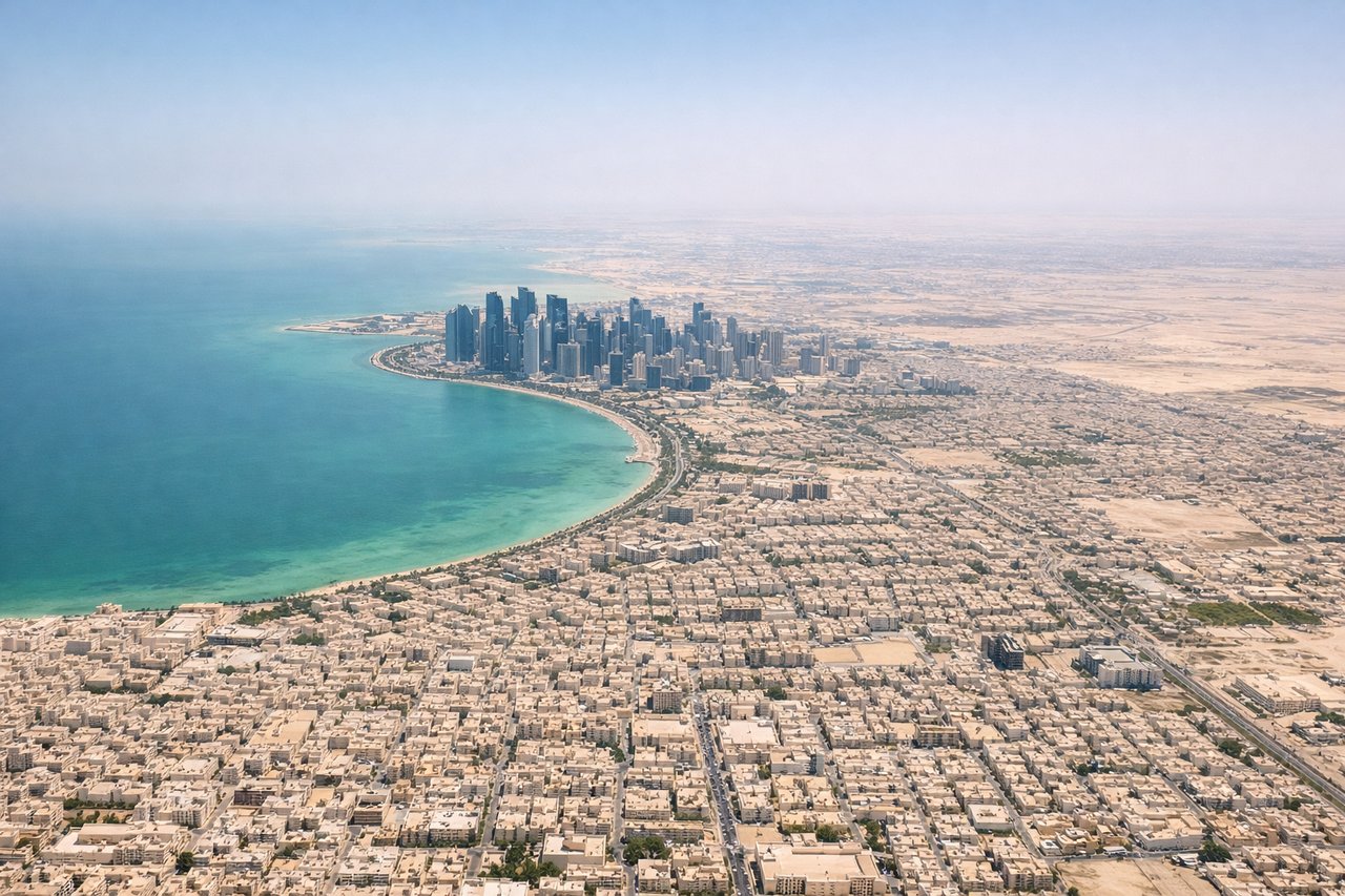
Takeoff from DOH
LEFTDeparting DOH on runway 16 heading southeast, the Doha skyline and Persian Gulf coastline sit off to the north, visible on the left as the aircraft climbs away from the city before turning onto its southeastern track.
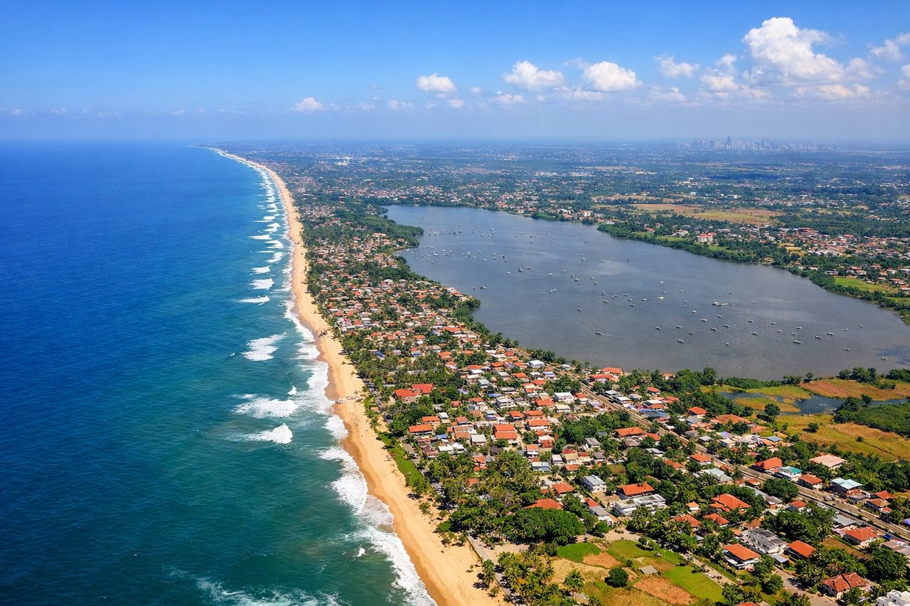
Landing at CMB
LEFTOn approach into CMB from the north, the aircraft tracks down the coast with Colombo's skyline, harbor, and the palm-lined shoreline visible on the left side, while the right side faces open Indian Ocean.
Will your flight be in sunlight?
Pick a date and time in the Sun Map to watch the sun move across your whole flight.
About This Route
Which side of the plane should I sit on flying from Hamad International Airport (DOH) to Bandaranaike International (CMB)?
Sit on the Left side of the plane for the best views on flights from Doha to Colombo. The left side wins on both ends of the flight: Doha's skyline and coastal geography at departure, and Colombo's coastline and harbor at arrival, while cruise over the Arabian Sea and near southern India also favors views to the left of the flight path.
What can I see during takeoff from Hamad International Airport in Doha?
During takeoff from Hamad International Airport (DOH), sit on the Left side for the best views. Departing DOH on runway 16 heading southeast, the Doha skyline and Persian Gulf coastline sit off to the north, visible on the left as the aircraft climbs away from the city before turning onto its southeastern track. Notable sights include: Doha's West Bay skyline, The Pearl-Qatar artificial island, Persian Gulf coastline, Hamad Port breakwaters.
What can I see when landing at Bandaranaike International in Colombo?
When landing at Bandaranaike International (CMB), sit on the Left side for the best views. On approach into CMB from the north, the aircraft tracks down the coast with Colombo's skyline, harbor, and the palm-lined shoreline visible on the left side, while the right side faces open Indian Ocean. Notable sights include: Colombo city skyline, Colombo Port harbor, Sri Lankan coastline, coastal lagoons near Negombo.
How long is the flight from Doha to Colombo?
The flight from Hamad International Airport (DOH) to Bandaranaike International (CMB) takes about 4 hours 40 minutes. The shortest flight path between them is 2,245 miles (3,613 km); winds and air traffic control usually add a few percent.
What does the Doha to Colombo flight path pass over?
Open Arabian Sea for most of the crossing, with the flight path passing close to the southern tip of India near Kerala, where the Western Ghats foothills and coastline may be visible in the distance before the approach to Sri Lanka.