Right side scores higher (3.5 vs 2.5) due to superior landing experience. While both sides offer modest takeoff views, the right side's Potomac River approach into DCA is genuinely scenic—the river corridor and iconic Washington monuments (Lincoln Memorial, Washington Monument, Capitol) are recognizable and visually distinctive from altitude. Left side's landing over suburban Maryland terrain is unremarkable. The takeoff advantage (Persian Gulf coastline) is offset by the landing's dramatic difference.
Flown DOH to DCA? Did we get it right?
Flight Path
Doha to Washington is 6,903 miles (11,109 km), a flight of about 13 hours 20 minutes.
Mediterranean coastline (southern Spain/North Africa), Atlas Mountains (Morocco/Algeria), Sahara Desert, Atlantic Ocean crossing, Appalachian Mountains (eastern United States)
Great circle distance and headings ›


Phase by phase

Takeoff from DOH
RIGHTRight side captures the Persian Gulf coastline and Doha's waterfront during initial climb. The shallow turquoise waters, coastal development, and artificial islands (The Pearl-Qatar) are distinctive from 2,000–5,000 feet. Left side climbs over flat inland desert with minimal visual interest.
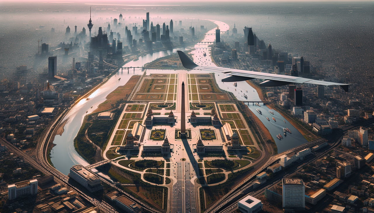
Landing at DCA
RIGHTRight side offers the scenic Potomac River approach into DCA. The famous 'River Visual' descent follows the Potomac past downtown Washington landmarks—the Lincoln Memorial, Washington Monument, and Capitol Building are visible from altitude during final approach. Left side sees only suburban Maryland terrain and the Anacostia River, far less dramatic.
Will your flight be in sunlight?
Pick a date and time in the Sun Map to watch the sun move across your whole flight.
About This Route
Which side of the plane should I sit on flying from Hamad International Airport (DOH) to Ronald Reagan Washington National (DCA)?
Sit on the Right side of the plane for the best views on flights from Doha to Washington. Right side scores higher (3.5 vs 2.5) due to superior landing experience. While both sides offer modest takeoff views, the right side's Potomac River approach into DCA is genuinely scenic—the river corridor and iconic Washington monuments (Lincoln Memorial, Washington Monument, Capitol) are recognizable and visually distinctive from altitude. Left side's landing over suburban Maryland terrain is unremarkable. The takeoff advantage (Persian Gulf coastline) is offset by the landing's dramatic difference.
What can I see during takeoff from Hamad International Airport in Doha?
During takeoff from Hamad International Airport (DOH), sit on the Right side for the best views. Right side captures the Persian Gulf coastline and Doha's waterfront during initial climb. The shallow turquoise waters, coastal development, and artificial islands (The Pearl-Qatar) are distinctive from 2,000–5,000 feet. Left side climbs over flat inland desert with minimal visual interest. Notable sights include: The Pearl-Qatar (artificial island development), Doha Harbor, Persian Gulf coastline, Lusail City development.
What can I see when landing at Ronald Reagan Washington National in Washington?
When landing at Ronald Reagan Washington National (DCA), sit on the Right side for the best views. Right side offers the scenic Potomac River approach into DCA. The famous 'River Visual' descent follows the Potomac past downtown Washington landmarks—the Lincoln Memorial, Washington Monument, and Capitol Building are visible from altitude during final approach. Left side sees only suburban Maryland terrain and the Anacostia River, far less dramatic. Notable sights include: Potomac River, Lincoln Memorial, Washington Monument, Capitol Building, National Mall.
How long is the flight from Doha to Washington?
The flight from Hamad International Airport (DOH) to Ronald Reagan Washington National (DCA) takes about 13 hours 20 minutes. The shortest flight path between them is 6,903 miles (11,109 km); winds and air traffic control usually add a few percent.
What does the Doha to Washington flight path pass over?
Mediterranean coastline (southern Spain/North Africa), Atlas Mountains (Morocco/Algeria), Sahara Desert, Atlantic Ocean crossing, Appalachian Mountains (eastern United States)