The left side captures the dramatic Doha Bay and West Bay skyline on departure, and over the flight path also picks up the Nile Valley in Sudan and Ethiopia's highlands. The landing view on the right is compelling but the departure and en-route geography slightly favor the left overall.
Flight Path
The route tracks southwest over the Arabian Peninsula, crossing the Red Sea near Eritrea or Djibouti, then over the Ethiopian Highlands — a dramatic high-altitude plateau with deep river gorges including the Blue Nile gorge. The flight continues over Kenya and Tanzania, where on a clear day the snow-capped summit of Kilimanjaro (19,341 ft) may be visible above cloud cover to the right side. Further south the route crosses the flat Mozambique coastal plain and the Limpopo River basin before descending into the Highveld.
Great circle distance and headings ›
.jpg?width=600)

Phase by phase
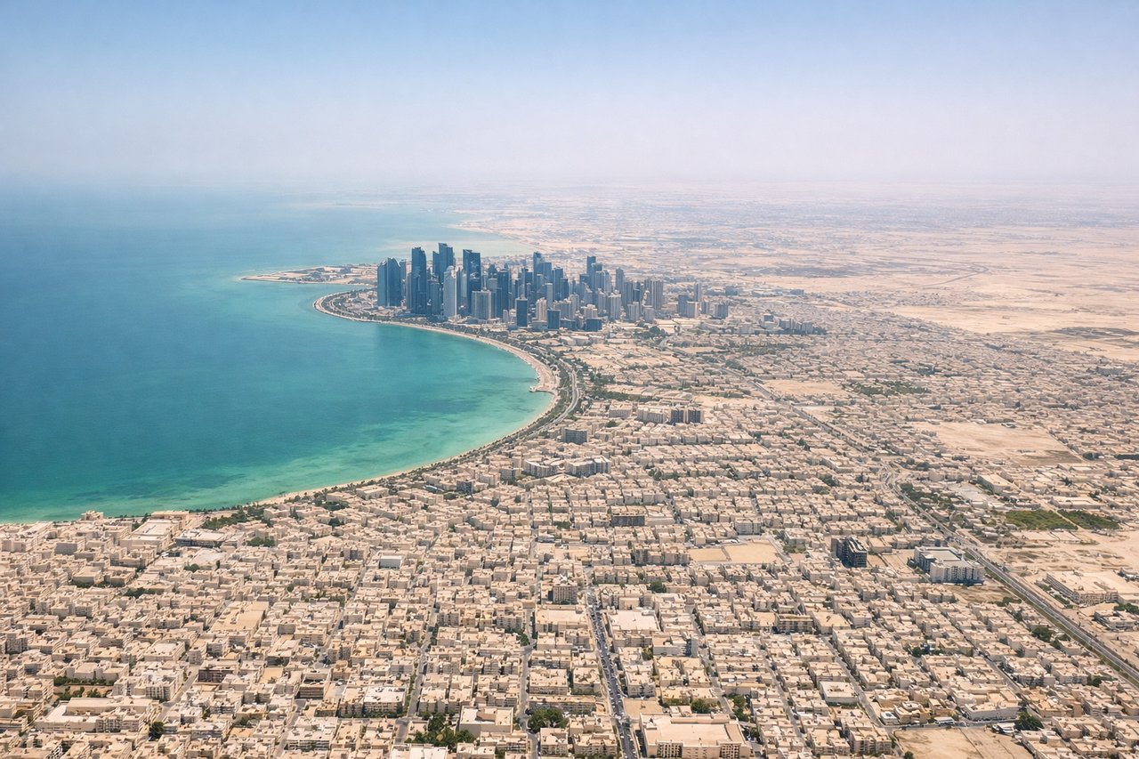
Takeoff from DOH
LEFTDoha's main runways (16/34 orientation) mean a southbound departure takes you over the Qatar peninsula. Left side gives you the Doha city skyline, West Bay skyscrapers, and the sweeping arc of Doha Bay before heading out over the Gulf.
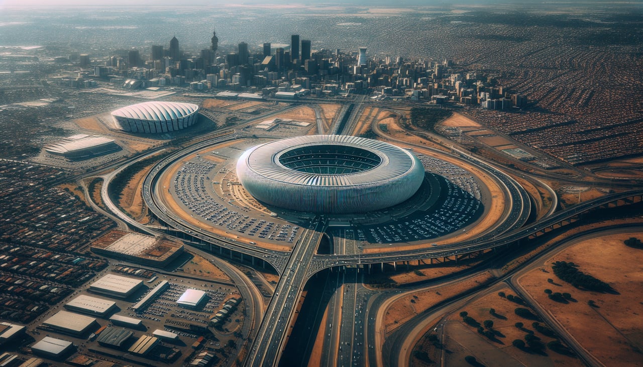
Landing at JNB
RIGHTOR Tambo typically uses runways 03/21. Arriving from the north on runway 21 approach, the right side faces east and gives you the Johannesburg city skyline, the Soweto towers, and the distinctive Highveld plateau landscape with its mine dumps.
Landmarks on this routeAll landmarks →
Will your flight be in sunlight?
See exactly which side of the plane gets sun and shade at your departure time.
About This Route
Which side of the plane should I sit on flying from Hamad International Airport (DOH) to O.R. Tambo International Airport (JNB)?
Sit on the Left side of the plane for the best views on flights from Doha to Johannesburg. The left side captures the dramatic Doha Bay and West Bay skyline on departure, and over the flight path also picks up the Nile Valley in Sudan and Ethiopia's highlands. The landing view on the right is compelling but the departure and en-route geography slightly favor the left overall.
What can I see during takeoff from Hamad International Airport in Doha?
During takeoff from Hamad International Airport (DOH), sit on the Left side for the best views. Doha's main runways (16/34 orientation) mean a southbound departure takes you over the Qatar peninsula. Left side gives you the Doha city skyline, West Bay skyscrapers, and the sweeping arc of Doha Bay before heading out over the Gulf. Notable sights include: West Bay skyline cluster, Doha Bay, Qatar peninsula coastline, Pearl-Qatar artificial island.
What can I see when landing at O.R. Tambo International Airport in Johannesburg?
When landing at O.R. Tambo International Airport (JNB), sit on the Right side for the best views. OR Tambo typically uses runways 03/21. Arriving from the north on runway 21 approach, the right side faces east and gives you the Johannesburg city skyline, the Soweto towers, and the distinctive Highveld plateau landscape with its mine dumps. Notable sights include: Johannesburg CBD skyline, Soweto cooling towers, gold mine tailings dumps, Highveld plateau terrain.
How long is the flight from Doha to Johannesburg?
The flight from Hamad International Airport (DOH) to O.R. Tambo International Airport (JNB) takes Approximately 8 hours 30 minutes to 9 hours.
What does the Doha to Johannesburg flight path pass over?
The route tracks southwest over the Arabian Peninsula, crossing the Red Sea near Eritrea or Djibouti, then over the Ethiopian Highlands — a dramatic high-altitude plateau with deep river gorges including the Blue Nile gorge. The flight continues over Kenya and Tanzania, where on a clear day the snow-capped summit of Kilimanjaro (19,341 ft) may be visible above cloud cover to the right side. Further south the route crosses the flat Mozambique coastal plain and the Limpopo River basin before descending into the Highveld.