While takeoff offers interesting gulf scenery, the landing approach into Lagos provides more dramatic and sustained visual interest with the lagoon system, peninsula geography, and urban waterfront contrasts. The left side captures the defining geographical feature of Lagos's location.
Flown DOH to LOS? Did we get it right?
Flight Path
Doha to Lagos is 3,435 miles (5,528 km), a flight of about 5 hours 15 minutes.
The flight path crosses the Arabian Peninsula (visible: Rub' al Khali desert edges, sparse settlements), then transitions over the Red Sea and Sudan (Red Sea coastline, Nile River delta region near Port Sudan), continuing south over central Sudan and northern Nigeria. Notable midpoint landmarks include the Nile River valley near Khartoum, the transition from Sahara to Sahel vegetation zones, and the Niger River basin as the aircraft approaches Nigerian airspace. The Red Sea crossing offers water views; the Sudan-Nigeria segment shows the dramatic shift from desert to savanna and forest vegetation patterns.
Great circle distance and headings ›Phase by phase
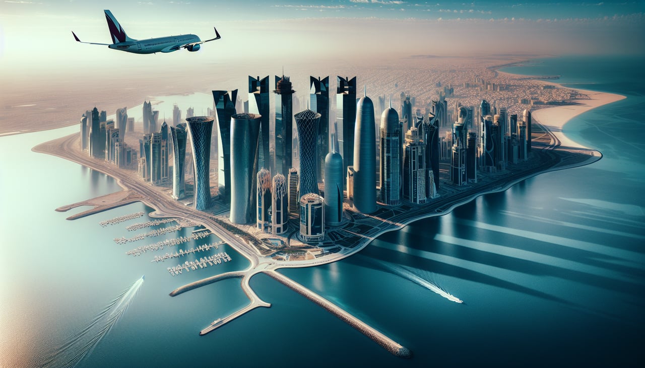
Takeoff from DOH
RIGHTRight-side seats offer views of the Persian Gulf coastline and Doha's waterfront as the aircraft climbs westward. The contrast between the city's developed areas and the shallow gulf waters creates clear visual definition during the initial climb.
Landing at LOS
LEFTLeft-side seats provide views of Lagos Lagoon and the city's sprawling waterfront during descent. The lagoon's distinctive shape and the contrast between water, mangrove areas, and dense urban development create strong visual interest on approach.
Will your flight be in sunlight?
Pick a date and time in the Sun Map to watch the sun move across your whole flight.
About This Route
Which side of the plane should I sit on flying from Hamad International Airport (DOH) to Lagos Murtala Muhammed (LOS)?
Sit on the Left side of the plane for the best views on flights from Doha to Lagos. While takeoff offers interesting gulf scenery, the landing approach into Lagos provides more dramatic and sustained visual interest with the lagoon system, peninsula geography, and urban waterfront contrasts. The left side captures the defining geographical feature of Lagos's location.
What can I see during takeoff from Hamad International Airport in Doha?
During takeoff from Hamad International Airport (DOH), sit on the Right side for the best views. Right-side seats offer views of the Persian Gulf coastline and Doha's waterfront as the aircraft climbs westward. The contrast between the city's developed areas and the shallow gulf waters creates clear visual definition during the initial climb. Notable sights include: Persian Gulf, Doha skyline and West Bay district, Qatari coastal shallows, inland desert plateau transitioning to flat terrain.
What can I see when landing at Lagos Murtala Muhammed in Lagos?
When landing at Lagos Murtala Muhammed (LOS), sit on the Left side for the best views. Left-side seats provide views of Lagos Lagoon and the city's sprawling waterfront during descent. The lagoon's distinctive shape and the contrast between water, mangrove areas, and dense urban development create strong visual interest on approach. Notable sights include: Lagos Lagoon, Lekki Peninsula, Victoria Island district, Lagos mainland urban sprawl.
How long is the flight from Doha to Lagos?
The flight from Hamad International Airport (DOH) to Lagos Murtala Muhammed (LOS) takes about 5 hours 15 minutes. The shortest flight path between them is 3,435 miles (5,528 km); winds and air traffic control usually add a few percent.
What does the Doha to Lagos flight path pass over?
The flight path crosses the Arabian Peninsula (visible: Rub' al Khali desert edges, sparse settlements), then transitions over the Red Sea and Sudan (Red Sea coastline, Nile River delta region near Port Sudan), continuing south over central Sudan and northern Nigeria. Notable midpoint landmarks include the Nile River valley near Khartoum, the transition from Sahara to Sahel vegetation zones, and the Niger River basin as the aircraft approaches Nigerian airspace. The Red Sea crossing offers water views; the Sudan-Nigeria segment shows the dramatic shift from desert to savanna and forest vegetation patterns.