While takeoff offers brief coastal interest, the landing approach into Beijing provides more sustained and dramatic scenery—the Yanshan Mountains, agricultural plains, and the massive urban footprint of China's capital are far more visually rewarding than the relatively flat, featureless desert and gulf views during departure.
Flown DOH to PEK? Did we get it right?
Flight Path
Doha to Beijing is 3,830 miles (6,163 km), a flight of about 7 hours 45 minutes.
The flight path crosses the Caspian Sea's eastern shore (visible around 2.5 hours into flight), the Ustyurt Plateau and Aral Sea region (Kazakhstan), the Tian Shan Mountains' northern foothills, and the Gobi Desert before reaching the North China Plain. The Caspian crossing offers brief water views; the Aral Sea basin shows stark desert and salt flats; the Tian Shan foothills provide mountain relief. Most of the central flight path crosses monotonous desert and steppe terrain with minimal visual interest.
Great circle distance and headings ›


Phase by phase
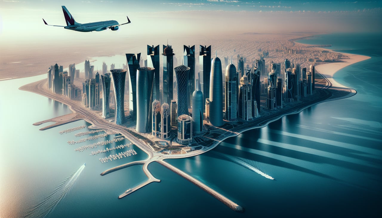
Takeoff from DOH
RIGHTRight-side seats offer views of the Persian Gulf coastline and Doha's waterfront as the aircraft climbs northwestward. The contrast between the shallow turquoise gulf waters and the desert interior is striking during the initial climb.
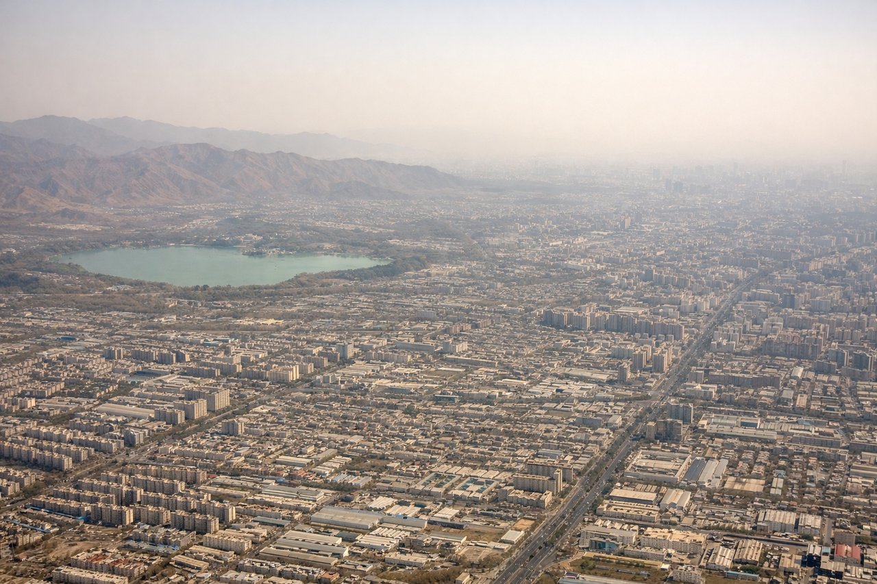
Landing at PEK
LEFTLeft-side seats provide excellent views during descent into Beijing. The approach from the southwest reveals the North China Plain's patchwork of agricultural fields, the Yanshan Mountains to the northwest, and eventually the sprawling urban footprint of Beijing itself.
Will your flight be in sunlight?
Pick a date and time in the Sun Map to watch the sun move across your whole flight.
About This Route
Which side of the plane should I sit on flying from Hamad International Airport (DOH) to Capital (PEK)?
Sit on the Left side of the plane for the best views on flights from Doha to Beijing. While takeoff offers brief coastal interest, the landing approach into Beijing provides more sustained and dramatic scenery—the Yanshan Mountains, agricultural plains, and the massive urban footprint of China's capital are far more visually rewarding than the relatively flat, featureless desert and gulf views during departure.
What can I see during takeoff from Hamad International Airport in Doha?
During takeoff from Hamad International Airport (DOH), sit on the Right side for the best views. Right-side seats offer views of the Persian Gulf coastline and Doha's waterfront as the aircraft climbs northwestward. The contrast between the shallow turquoise gulf waters and the desert interior is striking during the initial climb. Notable sights include: Persian Gulf (shallow turquoise waters), Doha's coastal development and port facilities, Qatar's flat desert terrain extending inland, occasional dhow boats in the gulf waters.
What can I see when landing at Capital in Beijing?
When landing at Capital (PEK), sit on the Left side for the best views. Left-side seats provide excellent views during descent into Beijing. The approach from the southwest reveals the North China Plain's patchwork of agricultural fields, the Yanshan Mountains to the northwest, and eventually the sprawling urban footprint of Beijing itself. Notable sights include: Yanshan Mountains (low, rounded ridges northwest of Beijing), North China Plain agricultural grid (geometric field patterns), Ming Tombs area foothills, Beijing's urban sprawl and ring roads.
How long is the flight from Doha to Beijing?
The flight from Hamad International Airport (DOH) to Capital (PEK) takes about 7 hours 45 minutes. The shortest flight path between them is 3,830 miles (6,163 km); winds and air traffic control usually add a few percent.
What does the Doha to Beijing flight path pass over?
The flight path crosses the Caspian Sea's eastern shore (visible around 2.5 hours into flight), the Ustyurt Plateau and Aral Sea region (Kazakhstan), the Tian Shan Mountains' northern foothills, and the Gobi Desert before reaching the North China Plain. The Caspian crossing offers brief water views; the Aral Sea basin shows stark desert and salt flats; the Tian Shan foothills provide mountain relief. Most of the central flight path crosses monotonous desert and steppe terrain with minimal visual interest.