The right side wins on both ends of the flight: Bali's volcanic peaks during departure and the Chao Phraya delta and Bangkok suburbs during arrival, whereas the left side is dominated by open sea for most of the route.
Flown DPS to BKK? Did we get it right?
Flight Path
Denpasar to Bangkok is 1,838 miles (2,959 km), a flight of about 3 hours 50 minutes.
Karimata Strait, South China Sea, Gulf of Thailand
Great circle distance and headings ›

Phase by phase
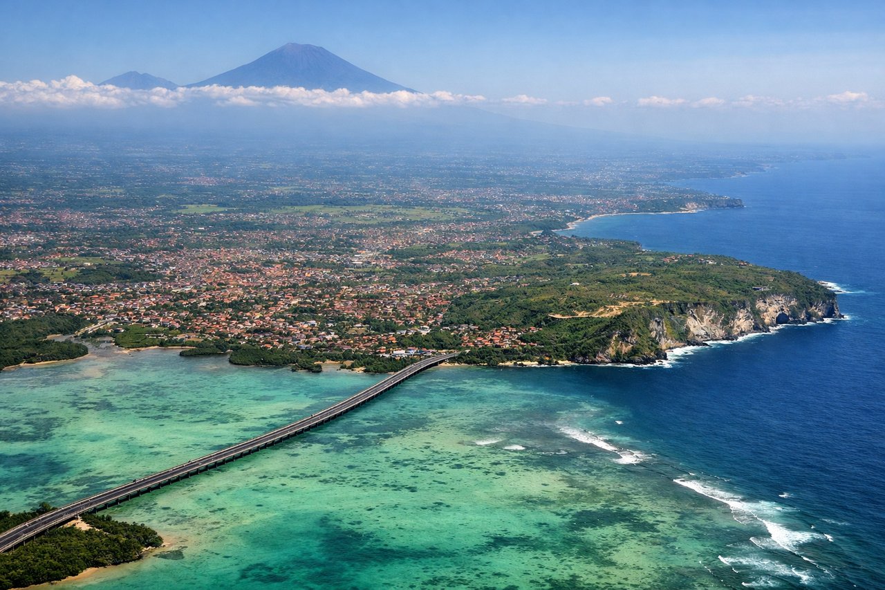
Takeoff from DPS
RIGHTAs the aircraft climbs out from Denpasar and banks northwest toward the Java Sea, Bali's volcanic spine—Mount Agung and Mount Batur—sits off the right side of the aircraft, giving a brief but striking view of the island's jagged calderas before the route heads out over open water.
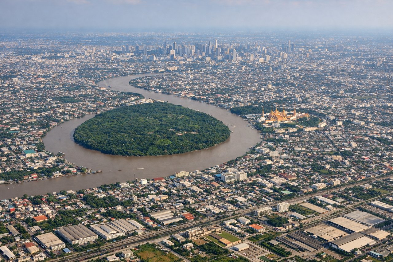
Landing at BKK
RIGHTOn approach into Suvarnabhumi from the south, the right side offers views over the sprawling Chao Phraya River delta and the dense grid of Bangkok's eastern suburbs before the runway threshold, while the left side mostly shows featureless flat farmland.
Will your flight be in sunlight?
Pick a date and time in the Sun Map to watch the sun move across your whole flight.
About This Route
Which side of the plane should I sit on flying from Denpasar I Gusti Ngurah Rai International Airport (DPS) to Suvarnabhumi Airport (BKK)?
Sit on the Right side of the plane for the best views on flights from Denpasar to Bangkok. The right side wins on both ends of the flight: Bali's volcanic peaks during departure and the Chao Phraya delta and Bangkok suburbs during arrival, whereas the left side is dominated by open sea for most of the route.
What can I see during takeoff from Denpasar I Gusti Ngurah Rai International Airport in Denpasar?
During takeoff from Denpasar I Gusti Ngurah Rai International Airport (DPS), sit on the Right side for the best views. As the aircraft climbs out from Denpasar and banks northwest toward the Java Sea, Bali's volcanic spine—Mount Agung and Mount Batur—sits off the right side of the aircraft, giving a brief but striking view of the island's jagged calderas before the route heads out over open water. Notable sights include: Mount Agung, Mount Batur, Bali's southern coastline, Java Sea.
What can I see when landing at Suvarnabhumi Airport in Bangkok?
When landing at Suvarnabhumi Airport (BKK), sit on the Right side for the best views. On approach into Suvarnabhumi from the south, the right side offers views over the sprawling Chao Phraya River delta and the dense grid of Bangkok's eastern suburbs before the runway threshold, while the left side mostly shows featureless flat farmland. Notable sights include: Chao Phraya River delta, Bangkok's eastern suburbs, aquaculture ponds and canals, Gulf of Thailand shoreline.
How long is the flight from Denpasar to Bangkok?
The flight from Denpasar I Gusti Ngurah Rai International Airport (DPS) to Suvarnabhumi Airport (BKK) takes about 3 hours 50 minutes. The shortest flight path between them is 1,838 miles (2,959 km); winds and air traffic control usually add a few percent.
What does the Denpasar to Bangkok flight path pass over?
Karimata Strait, South China Sea, Gulf of Thailand