The right side offers a stronger start with Bangkok's skyline during departure and a dramatic finish with Bali's volcanic peaks on arrival, while the long ocean cruise over the South China Sea and Java Sea is scenically neutral for both sides.
Flight Path
South China Sea, Natuna Sea, and the Karimata Strait separating Borneo from Sumatra, with the Java Sea leading into the Bali Strait near the destination
Great circle distance and headings ›.jpg?width=600)

Phase by phase
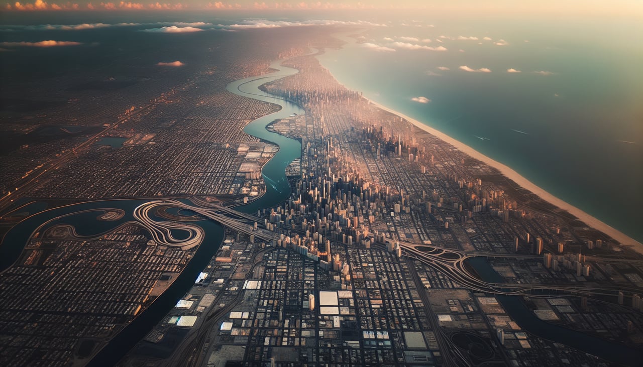
Takeoff from BKK
RIGHTDeparting Suvarnabhumi, the aircraft typically climbs out and banks to align with the southeastward route, giving right-side passengers a view of Bangkok's skyline and the Chao Phraya River delta before the city gives way to the flat rice paddies of central Thailand. The left side mostly sees featureless farmland during this same turn.
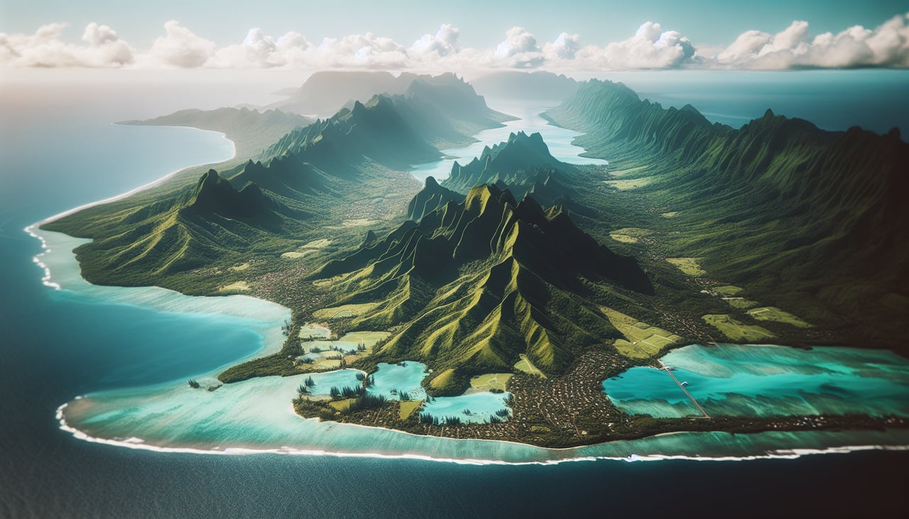
Landing at DPS
RIGHTOn typical approach into Denpasar, the aircraft turns to line up with the runway from over the ocean, putting Bali's volcanic interior—Mount Agung and Mount Batur—along with the island's terraced hillsides and coastline on the right side of the cabin. The left side faces open ocean with no landmarks.
Landmarks on this routeAll landmarks →
Will your flight be in sunlight?
See exactly which side of the plane gets sun and shade at your departure time.
About This Route
Which side of the plane should I sit on flying from Suvarnabhumi Airport (BKK) to Denpasar I Gusti Ngurah Rai International Airport (DPS)?
Sit on the Right side of the plane for the best views on flights from Bangkok to Denpasar. The right side offers a stronger start with Bangkok's skyline during departure and a dramatic finish with Bali's volcanic peaks on arrival, while the long ocean cruise over the South China Sea and Java Sea is scenically neutral for both sides.
What can I see during takeoff from Suvarnabhumi Airport in Bangkok?
During takeoff from Suvarnabhumi Airport (BKK), sit on the Right side for the best views. Departing Suvarnabhumi, the aircraft typically climbs out and banks to align with the southeastward route, giving right-side passengers a view of Bangkok's skyline and the Chao Phraya River delta before the city gives way to the flat rice paddies of central Thailand. The left side mostly sees featureless farmland during this same turn. Notable sights include: Bangkok skyline, Chao Phraya River, Gulf of Thailand coastline, patchwork rice paddies.
What can I see when landing at Denpasar I Gusti Ngurah Rai International Airport in Denpasar?
When landing at Denpasar I Gusti Ngurah Rai International Airport (DPS), sit on the Right side for the best views. On typical approach into Denpasar, the aircraft turns to line up with the runway from over the ocean, putting Bali's volcanic interior—Mount Agung and Mount Batur—along with the island's terraced hillsides and coastline on the right side of the cabin. The left side faces open ocean with no landmarks. Notable sights include: Mount Agung, Mount Batur, Bali's southern coastline, Benoa Harbor.
How long is the flight from Bangkok to Denpasar?
The flight from Suvarnabhumi Airport (BKK) to Denpasar I Gusti Ngurah Rai International Airport (DPS) takes 4h 05m.
What does the Bangkok to Denpasar flight path pass over?
South China Sea, Natuna Sea, and the Karimata Strait separating Borneo from Sumatra, with the Java Sea leading into the Bali Strait near the destination