While takeoff from DRI offers modest views, the landing approach into Cairns provides significantly more dramatic geography—the Coral Sea, reef systems, and tropical coastline are far more visually distinctive than Louisiana's relatively flat terrain. Left seats capture these features best during descent.
Flight Path
This transpacific route crosses the central Pacific Ocean for roughly 8-10 hours. Notable features include: the Hawaiian Islands (if routed via Hawaii—typically visible as small volcanic peaks if passing within 50+ miles), the International Date Line crossing, vast open ocean with occasional weather systems, and the approach to Australia's northeast coast showing the Great Dividing Range inland from Cairns. Most of the flight is over featureless ocean; window views are limited to cloud patterns, occasional island sightings, and the final approach coastal geography.
Great circle distance and headings ›Phase by phase
Takeoff from DRI
RIGHTDRI typically departs to the north or northeast. Right-side seats offer views of the Kisatchie National Forest and the transition from Louisiana's piney woods to open terrain as you climb out over central Louisiana.
Landing at CNS
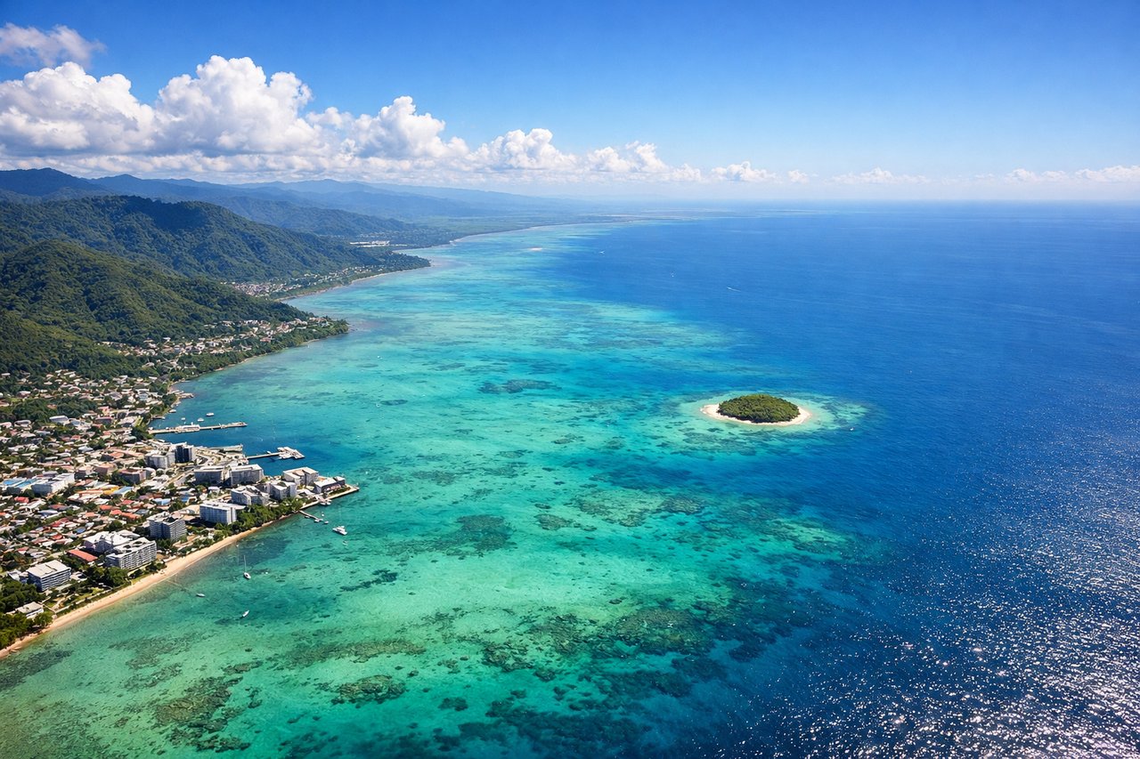
LEFTApproaching Cairns typically uses runways aligned roughly north-south. Left-side seats during descent offer views of the Coral Sea, the Great Barrier Reef's outer structures, and Trinity Bay as you descend toward the airport on the coastal plain.
Will your flight be in sunlight?
See exactly which side of the plane gets sun and shade at your departure time.
About This Route
Which side of the plane should I sit on flying from Beauregard Parish (DRI) to Cairns International (CNS)?
Sit on the Left side of the plane for the best views on flights from Deridder to Cairns. While takeoff from DRI offers modest views, the landing approach into Cairns provides significantly more dramatic geography—the Coral Sea, reef systems, and tropical coastline are far more visually distinctive than Louisiana's relatively flat terrain. Left seats capture these features best during descent.
What can I see during takeoff from Beauregard Parish in Deridder?
During takeoff from Beauregard Parish (DRI), sit on the Right side for the best views. DRI typically departs to the north or northeast. Right-side seats offer views of the Kisatchie National Forest and the transition from Louisiana's piney woods to open terrain as you climb out over central Louisiana. Notable sights include: Kisatchie National Forest (dense pine woodland to the northeast), Cane River (visible as a thin silver line running north-south), open agricultural fields of Vernon Parish, distant tree line marking the forest edge.
What can I see when landing at Cairns International in Cairns?
When landing at Cairns International (CNS), sit on the Left side for the best views. Approaching Cairns typically uses runways aligned roughly north-south. Left-side seats during descent offer views of the Coral Sea, the Great Barrier Reef's outer structures, and Trinity Bay as you descend toward the airport on the coastal plain. Notable sights include: Coral Sea (turquoise and deep blue waters with visible reef patterns), Trinity Bay (lighter turquoise inshore waters), Great Barrier Reef outer edge (visible as color gradation from deep blue to lighter turquoise), Cairns coastal plain and mangrove areas.
How long is the flight from Deridder to Cairns?
The flight from Beauregard Parish (DRI) to Cairns International (CNS) takes Approximately 14.5 to 15.5 hours (depending on winds and routing).
What does the Deridder to Cairns flight path pass over?
This transpacific route crosses the central Pacific Ocean for roughly 8-10 hours. Notable features include: the Hawaiian Islands (if routed via Hawaii—typically visible as small volcanic peaks if passing within 50+ miles), the International Date Line crossing, vast open ocean with occasional weather systems, and the approach to Australia's northeast coast showing the Great Dividing Range inland from Cairns. Most of the flight is over featureless ocean; window views are limited to cloud patterns, occasional island sightings, and the final approach coastal geography.