San Benito to Guatemala City is 167 miles (269 km), a flight of about 50 minutes.
While the takeoff offers jungle scenery, the landing provides more dramatic and visually distinctive geography—the volcanic peaks and lake system around Guatemala City are more striking than the uniform Petén forest. Left-side seats capture the flight's most memorable visual moment.
Flight Path
The flight path crosses from the Petén lowlands southeastward toward the Guatemala highlands. You'll pass over transitional terrain where jungle gives way to increasing elevation, with scattered towns and agricultural clearings becoming more frequent. The Polochic River valley may be visible on the right during cruise if flying at lower altitudes. The landscape gradually rises toward the volcanic highlands that surround Guatemala City, with vegetation changing from dense tropical forest to pine forests and agricultural zones as elevation increases.
Great circle distance and headings ›Phase by phase
Takeoff from FRS
RIGHTRight-side seats capture the Petén plateau terrain and the Usumacinta River valley as you climb out westbound. The landscape transitions from jungle canopy to visible river systems and limestone formations that define this region.
Landing at GUA
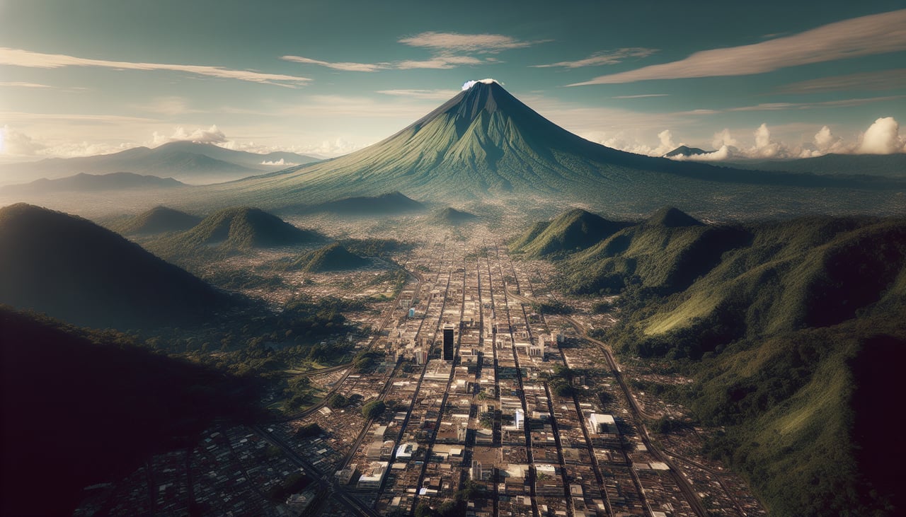
LEFTLeft-side seats offer views of the Guatemala City basin and surrounding volcanic highlands during descent. You'll see the city sprawl, Lake Amatitlán to the south, and the volcanic peaks that frame the capital's geography.
Will your flight be in sunlight?
Pick a date and time in the Sun Map to watch the sun move across your whole flight.
About This Route
Which side of the plane should I sit on flying from Mundo Maya International Airport (FRS) to La Aurora (GUA)?
Sit on the Left side of the plane for the best views on flights from San Benito to Guatemala City. While the takeoff offers jungle scenery, the landing provides more dramatic and visually distinctive geography—the volcanic peaks and lake system around Guatemala City are more striking than the uniform Petén forest. Left-side seats capture the flight's most memorable visual moment.
What can I see during takeoff from Mundo Maya International Airport in San Benito?
During takeoff from Mundo Maya International Airport (FRS), sit on the Right side for the best views. Right-side seats capture the Petén plateau terrain and the Usumacinta River valley as you climb out westbound. The landscape transitions from jungle canopy to visible river systems and limestone formations that define this region. Notable sights include: Usumacinta River (visible as a winding water course through dense forest), Petén limestone plateau (distinctive flat-topped terrain), dense tropical forest canopy (dark green expanse), scattered lagoons and wetlands reflecting sunlight.
What can I see when landing at La Aurora in Guatemala City?
When landing at La Aurora (GUA), sit on the Left side for the best views. Left-side seats offer views of the Guatemala City basin and surrounding volcanic highlands during descent. You'll see the city sprawl, Lake Amatitlán to the south, and the volcanic peaks that frame the capital's geography. Notable sights include: Lake Amatitlán (large freshwater lake south of the city), Pacaya and Agua volcanoes (visible as dark conical peaks on the southern horizon), Guatemala City urban grid (visible as dense building clusters and street patterns), Cerro de la Cruz ridge (elevated terrain north of the city).
How long is the flight from San Benito to Guatemala City?
The flight from Mundo Maya International Airport (FRS) to La Aurora (GUA) takes about 50 minutes. The shortest flight path between them is 167 miles (269 km); winds and air traffic control usually add a few percent.
What does the San Benito to Guatemala City flight path pass over?
The flight path crosses from the Petén lowlands southeastward toward the Guatemala highlands. You'll pass over transitional terrain where jungle gives way to increasing elevation, with scattered towns and agricultural clearings becoming more frequent. The Polochic River valley may be visible on the right during cruise if flying at lower altitudes. The landscape gradually rises toward the volcanic highlands that surround Guatemala City, with vegetation changing from dense tropical forest to pine forests and agricultural zones as elevation increases.