Guatemala City to San Benito is 167 miles (269 km), a flight of about 50 minutes.
Right-side seats capture the most dramatic scenery: the Sierra de las Minas during takeoff and the transition from highlands to lowlands during the flight. Left seats offer good landing views but less compelling departure scenery.
Flight Path
The flight path crosses from the Central Highlands plateau northward into the Petén lowlands. Notable features include the gradual descent from approximately 5,000 feet elevation near Guatemala City to the lower Petén plateau around 300 feet. The landscape transitions from agricultural highlands and pine forests to tropical rainforest. The Río Pasión and its tributaries become visible as the aircraft approaches the Petén region. The terrain flattens significantly north of the highlands, with the limestone karst topography becoming increasingly apparent as the aircraft descends toward San Benito.
Great circle distance and headings ›Phase by phase
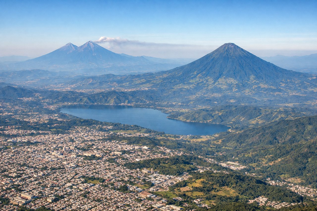
Takeoff from GUA
RIGHTRight-side seats offer views of the Sierra de las Minas mountain range to the northeast as the aircraft climbs out. The terrain rises progressively in that direction, creating a dramatic backdrop during the initial climb phase.
Landing at FRS
LEFTLeft-side seats provide excellent views during descent into San Benito. The approach path from the south reveals the Petén lowlands, the Río Usumacinta valley, and the transition from limestone plateau to jungle terrain characteristic of the region.
Will your flight be in sunlight?
Pick a date and time in the Sun Map to watch the sun move across your whole flight.
About This Route
Which side of the plane should I sit on flying from La Aurora (GUA) to Mundo Maya International Airport (FRS)?
Sit on the Right side of the plane for the best views on flights from Guatemala City to San Benito. Right-side seats capture the most dramatic scenery: the Sierra de las Minas during takeoff and the transition from highlands to lowlands during the flight. Left seats offer good landing views but less compelling departure scenery.
What can I see during takeoff from La Aurora in Guatemala City?
During takeoff from La Aurora (GUA), sit on the Right side for the best views. Right-side seats offer views of the Sierra de las Minas mountain range to the northeast as the aircraft climbs out. The terrain rises progressively in that direction, creating a dramatic backdrop during the initial climb phase. Notable sights include: Sierra de las Minas (northeast), Guatemala City urban sprawl (directly below), Lake Amatitlán (south), Central Highlands plateau.
What can I see when landing at Mundo Maya International Airport in San Benito?
When landing at Mundo Maya International Airport (FRS), sit on the Left side for the best views. Left-side seats provide excellent views during descent into San Benito. The approach path from the south reveals the Petén lowlands, the Río Usumacinta valley, and the transition from limestone plateau to jungle terrain characteristic of the region. Notable sights include: Petén lowlands (dense tropical forest), Río Usumacinta valley (west), Laguna Petén Itzá (visible on clear days to the east), limestone karst topography.
How long is the flight from Guatemala City to San Benito?
The flight from La Aurora (GUA) to Mundo Maya International Airport (FRS) takes about 50 minutes. The shortest flight path between them is 167 miles (269 km); winds and air traffic control usually add a few percent.
What does the Guatemala City to San Benito flight path pass over?
The flight path crosses from the Central Highlands plateau northward into the Petén lowlands. Notable features include the gradual descent from approximately 5,000 feet elevation near Guatemala City to the lower Petén plateau around 300 feet. The landscape transitions from agricultural highlands and pine forests to tropical rainforest. The Río Pasión and its tributaries become visible as the aircraft approaches the Petén region. The terrain flattens significantly north of the highlands, with the limestone karst topography becoming increasingly apparent as the aircraft descends toward San Benito.