The right side captures both the Hakata Bay coastline on departure and the volcanic Shikotsu-Tarumae landscape on arrival, giving more terrain variety than the left side's flatter plains and open water views.
Flown FUK to CTS? Did we get it right?
Flight Path
Fukuoka to Sapporo is 879 miles (1,415 km), a flight of about 2 hours 5 minutes.
Sea of Japan coastline near the Noto Peninsula, Sado Island, and the Tsugaru Strait separating Honshu from Hokkaido
Great circle distance and headings ›Phase by phase
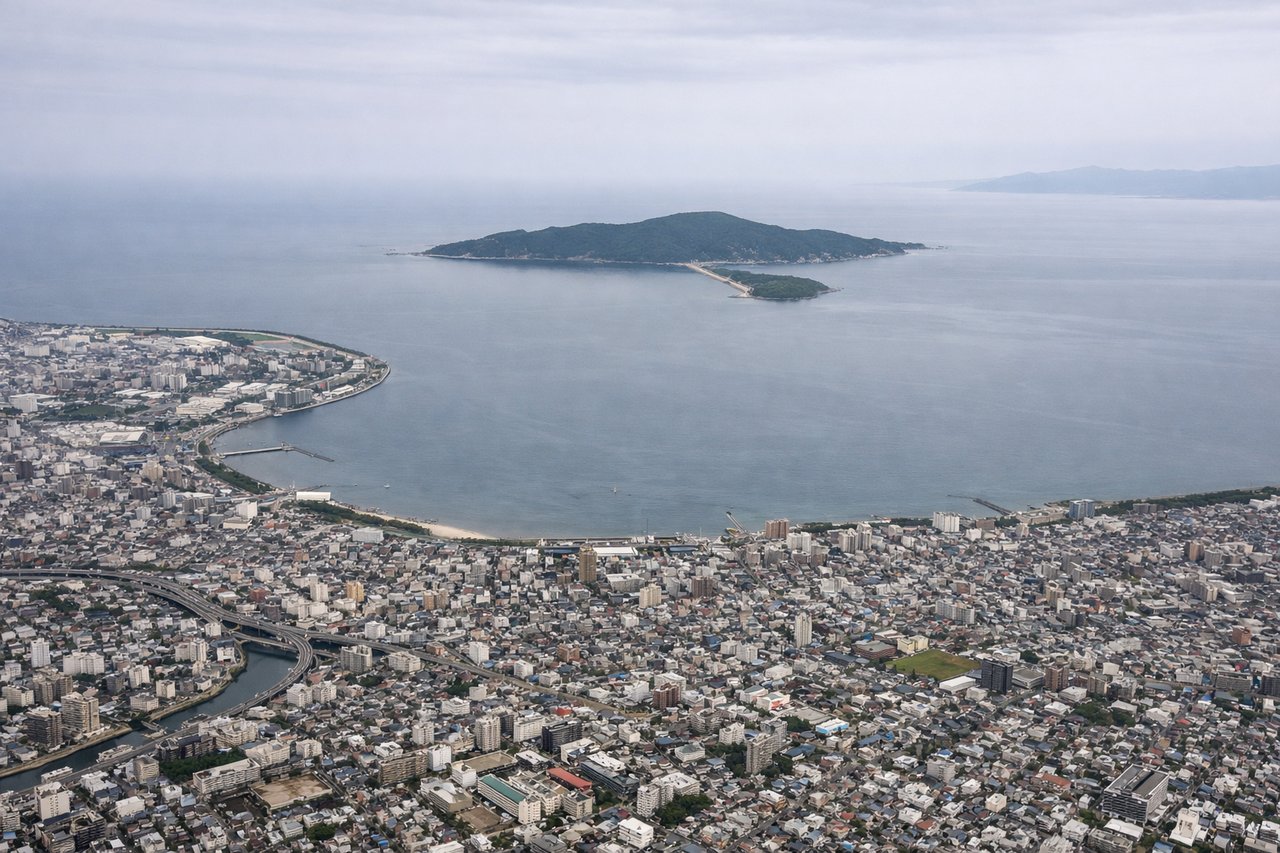
Takeoff from FUK
RIGHTDeparting FUK on runway 34, the climb-out curves the aircraft northeast, putting Hakata Bay, the Fukuoka city skyline, and the Genkai Sea coastline on the right side. The left side shows mostly the flatter Chikushi Plain with less visual interest.
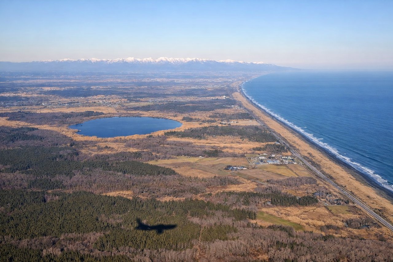
Landing at CTS
RIGHTOn approach into Chitose, the flight path typically tracks up from the south over the Ishikari plain, and turns bring the volcanic peaks around Lake Shikotsu and Mount Tarumae into view on the right, contrasting with the flat farmland dominating the left side.
Will your flight be in sunlight?
Pick a date and time in the Sun Map to watch the sun move across your whole flight.
About This Route
Which side of the plane should I sit on flying from Fukuoka (FUK) to Chitose International Airport (CTS)?
Sit on the Right side of the plane for the best views on flights from Fukuoka to Sapporo. The right side captures both the Hakata Bay coastline on departure and the volcanic Shikotsu-Tarumae landscape on arrival, giving more terrain variety than the left side's flatter plains and open water views.
What can I see during takeoff from Fukuoka in Fukuoka?
During takeoff from Fukuoka (FUK), sit on the Right side for the best views. Departing FUK on runway 34, the climb-out curves the aircraft northeast, putting Hakata Bay, the Fukuoka city skyline, and the Genkai Sea coastline on the right side. The left side shows mostly the flatter Chikushi Plain with less visual interest. Notable sights include: Hakata Bay, Fukuoka city skyline, Genkai Sea coastline, Itoshima Peninsula.
What can I see when landing at Chitose International Airport in Sapporo?
When landing at Chitose International Airport (CTS), sit on the Right side for the best views. On approach into Chitose, the flight path typically tracks up from the south over the Ishikari plain, and turns bring the volcanic peaks around Lake Shikotsu and Mount Tarumae into view on the right, contrasting with the flat farmland dominating the left side. Notable sights include: Lake Shikotsu, Mount Tarumae, Mount Eniwa, Ishikari plain farmland.
How long is the flight from Fukuoka to Sapporo?
The flight from Fukuoka (FUK) to Chitose International Airport (CTS) takes about 2 hours 5 minutes. The shortest flight path between them is 879 miles (1,415 km); winds and air traffic control usually add a few percent.
What does the Fukuoka to Sapporo flight path pass over?
Sea of Japan coastline near the Noto Peninsula, Sado Island, and the Tsugaru Strait separating Honshu from Hokkaido