Both sides score equally at 2.0 due to the short flight duration (approximately 30 minutes) over predominantly flat to gently rolling terrain with limited dramatic geography. However, the left side edges ahead for the full flight experience because the Brahmaputra River during takeoff provides more distinctive visual interest than the landing approach, and the river remains a reference point during the brief cruise phase. This is a short regional hop with modest scenic value on either side.
Flown GAU to DMU? Did we get it right?
Flight Path
Guwahati to Dimapur is 137 miles (220 km), a flight of about 30 minutes.
The flight path crosses the Brahmaputra River valley and transitions into the foothills of Nagaland. The Dhansiri River system becomes visible during the descent phase. The landscape shifts from the broad alluvial plains of Assam to the more undulating terrain of Nagaland, with increasing forest cover and hill terrain as the aircraft approaches Dimapur.
Great circle distance and headings ›Phase by phase
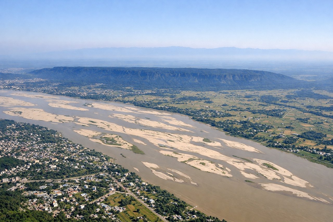
Takeoff from GAU
LEFTLeft side (north/northwest) offers views of the Brahmaputra River valley and its floodplain during initial climb, particularly if departing on runway 02. The river's broad meanders and surrounding agricultural landscape provide more visual interest than the right side's inland plains.
Landing at DMU
RIGHTRight side (southeast approach) provides views of Dimapur's surrounding Nagaland landscape during descent and approach. The terrain transitions from flatter plains to more undulating hills, offering greater visual variety than the left side's continuation of flat agricultural land.
Will your flight be in sunlight?
Pick a date and time in the Sun Map to watch the sun move across your whole flight.
About This Route
Which side of the plane should I sit on flying from Lokpriya Gopinath Bordoloi International Airport (GAU) to Dimapur Airport (DMU)?
Sit on the Left side of the plane for the best views on flights from Guwahati to Dimapur. Both sides score equally at 2.0 due to the short flight duration (approximately 30 minutes) over predominantly flat to gently rolling terrain with limited dramatic geography. However, the left side edges ahead for the full flight experience because the Brahmaputra River during takeoff provides more distinctive visual interest than the landing approach, and the river remains a reference point during the brief cruise phase. This is a short regional hop with modest scenic value on either side.
What can I see during takeoff from Lokpriya Gopinath Bordoloi International Airport in Guwahati?
During takeoff from Lokpriya Gopinath Bordoloi International Airport (GAU), sit on the Left side for the best views. Left side (north/northwest) offers views of the Brahmaputra River valley and its floodplain during initial climb, particularly if departing on runway 02. The river's broad meanders and surrounding agricultural landscape provide more visual interest than the right side's inland plains. Notable sights include: Brahmaputra River and its floodplain, Guwahati city sprawl, tea gardens of Assam foothills in distance.
What can I see when landing at Dimapur Airport in Dimapur?
When landing at Dimapur Airport (DMU), sit on the Right side for the best views. Right side (southeast approach) provides views of Dimapur's surrounding Nagaland landscape during descent and approach. The terrain transitions from flatter plains to more undulating hills, offering greater visual variety than the left side's continuation of flat agricultural land. Notable sights include: Dimapur city and airfield, Nagaland foothills, Dhansiri River valley, agricultural terracing on hillsides.
How long is the flight from Guwahati to Dimapur?
The flight from Lokpriya Gopinath Bordoloi International Airport (GAU) to Dimapur Airport (DMU) takes about 30 minutes. The shortest flight path between them is 137 miles (220 km); winds and air traffic control usually add a few percent.
What does the Guwahati to Dimapur flight path pass over?
The flight path crosses the Brahmaputra River valley and transitions into the foothills of Nagaland. The Dhansiri River system becomes visible during the descent phase. The landscape shifts from the broad alluvial plains of Assam to the more undulating terrain of Nagaland, with increasing forest cover and hill terrain as the aircraft approaches Dimapur.