While the left side offers better takeoff scenery with the Brahmaputra and Guwahati, the right side's landing approach into the Paro Valley and eastern Himalayas is dramatically more scenic and distinctive. The high-altitude mountain terrain, steep forested ridges, and the spectacular final descent into a valley surrounded by 10,000+ foot peaks create a far more memorable experience than the flat plains departure. The landing experience outweighs the takeoff advantage.
Flight Path
The flight path crosses the Assam plains northward, then transitions into the foothills of the eastern Himalayas. Notable features include the Brahmaputra River valley receding to the south, the gradual rise of terrain from flat plains to rolling hills, and the appearance of the Bhutan mountain ranges ahead. The Tista River valley may be visible to the east as the aircraft approaches Bhutan's airspace. Dense forests cover the terrain as elevation increases, and the transition from Indian plains to Himalayan terrain is marked by a clear shift in vegetation and topography around the midpoint of the flight.
Great circle distance and headings ›Phase by phase
Takeoff from GAU
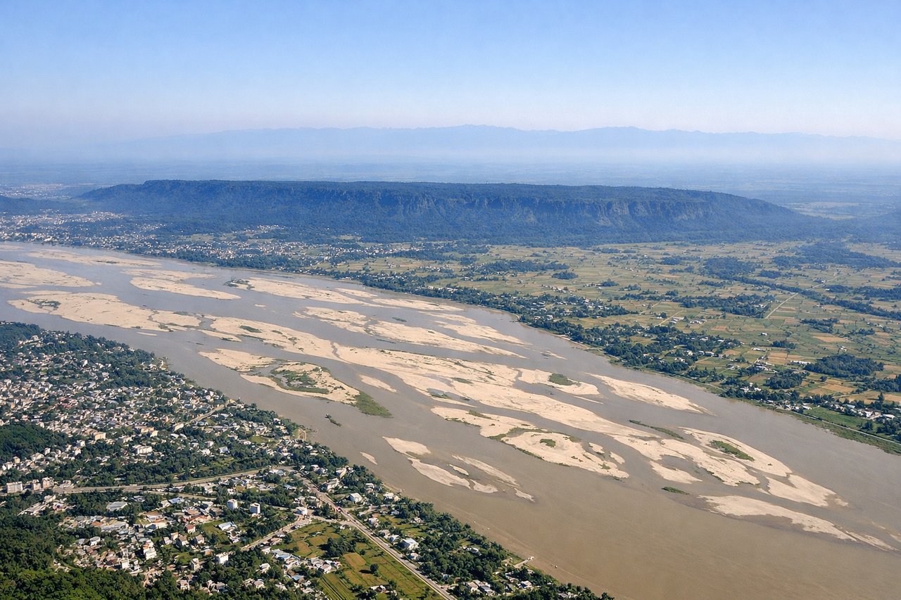
LEFTLeft side captures the Brahmaputra River valley and Guwahati's urban sprawl during climb-out, with the river's distinctive meanders and surrounding agricultural plains providing immediate visual interest. Right side shows only flat plains and scattered settlements with minimal terrain variation.
Landing at PBH
RIGHTRight side reveals the dramatic eastern Himalayas and Paro Valley approach, with the Phobjikha Valley visible and steep forested ridges framing the descent. Left side shows only the continuation of Assam plains with minimal elevation change and no distinctive landmarks during the final approach.
Landmarks on this routeAll landmarks →
Will your flight be in sunlight?
See exactly which side of the plane gets sun and shade at your departure time.
About This Route
Which side of the plane should I sit on flying from Lokpriya Gopinath Bordoloi International Airport (GAU) to Paro (PBH)?
Sit on the Right side of the plane for the best views on flights from Guwahati to Paro. While the left side offers better takeoff scenery with the Brahmaputra and Guwahati, the right side's landing approach into the Paro Valley and eastern Himalayas is dramatically more scenic and distinctive. The high-altitude mountain terrain, steep forested ridges, and the spectacular final descent into a valley surrounded by 10,000+ foot peaks create a far more memorable experience than the flat plains departure. The landing experience outweighs the takeoff advantage.
What can I see during takeoff from Lokpriya Gopinath Bordoloi International Airport in Guwahati?
During takeoff from Lokpriya Gopinath Bordoloi International Airport (GAU), sit on the Left side for the best views. Left side captures the Brahmaputra River valley and Guwahati's urban sprawl during climb-out, with the river's distinctive meanders and surrounding agricultural plains providing immediate visual interest. Right side shows only flat plains and scattered settlements with minimal terrain variation. Notable sights include: Brahmaputra River with its wide meanders, Guwahati city grid and urban development, Assam plains extending to the horizon, scattered tea gardens and agricultural fields.
What can I see when landing at Paro in Paro?
When landing at Paro (PBH), sit on the Right side for the best views. Right side reveals the dramatic eastern Himalayas and Paro Valley approach, with the Phobjikha Valley visible and steep forested ridges framing the descent. Left side shows only the continuation of Assam plains with minimal elevation change and no distinctive landmarks during the final approach. Notable sights include: Eastern Himalayan ranges with steep forested slopes, Paro Valley nestled between mountains, Phobjikha Valley visible to the south, Wang Chu River gorge cutting through the terrain.
How long is the flight from Guwahati to Paro?
The flight from Lokpriya Gopinath Bordoloi International Airport (GAU) to Paro (PBH) takes 1h 15m.
What does the Guwahati to Paro flight path pass over?
The flight path crosses the Assam plains northward, then transitions into the foothills of the eastern Himalayas. Notable features include the Brahmaputra River valley receding to the south, the gradual rise of terrain from flat plains to rolling hills, and the appearance of the Bhutan mountain ranges ahead. The Tista River valley may be visible to the east as the aircraft approaches Bhutan's airspace. Dense forests cover the terrain as elevation increases, and the transition from Indian plains to Himalayan terrain is marked by a clear shift in vegetation and topography around the midpoint of the flight.