Spokane to Denver is 835 miles (1,343 km), a flight of about 2 hours 5 minutes.
The right side wins across the whole flight — scenic Idaho panhandle terrain at takeoff, and a dramatic close-up view of the Front Range peaks rising from the plains during the Denver approach, versus mostly flat, unremarkable prairie on the left.
Flight Path
Northern Rocky Mountain foothills of Montana/Idaho, Wyoming's Wind River Range and Bighorn Mountains visible in the distance along the flight path before descent toward the Colorado Front Range
Great circle distance and headings ›.jpg?width=600)

.jpg?width=600)
Phase by phase
Takeoff from GEG
RIGHTDeparting GEG to the southeast, the right side faces south and west, giving passengers a view over the Palouse's rolling wheat hills and the northern Idaho panhandle lakes region before the terrain rises toward the Bitterroot Mountains. The left side mostly shows flatter farmland stretching toward eastern Washington.
Landing at DEN
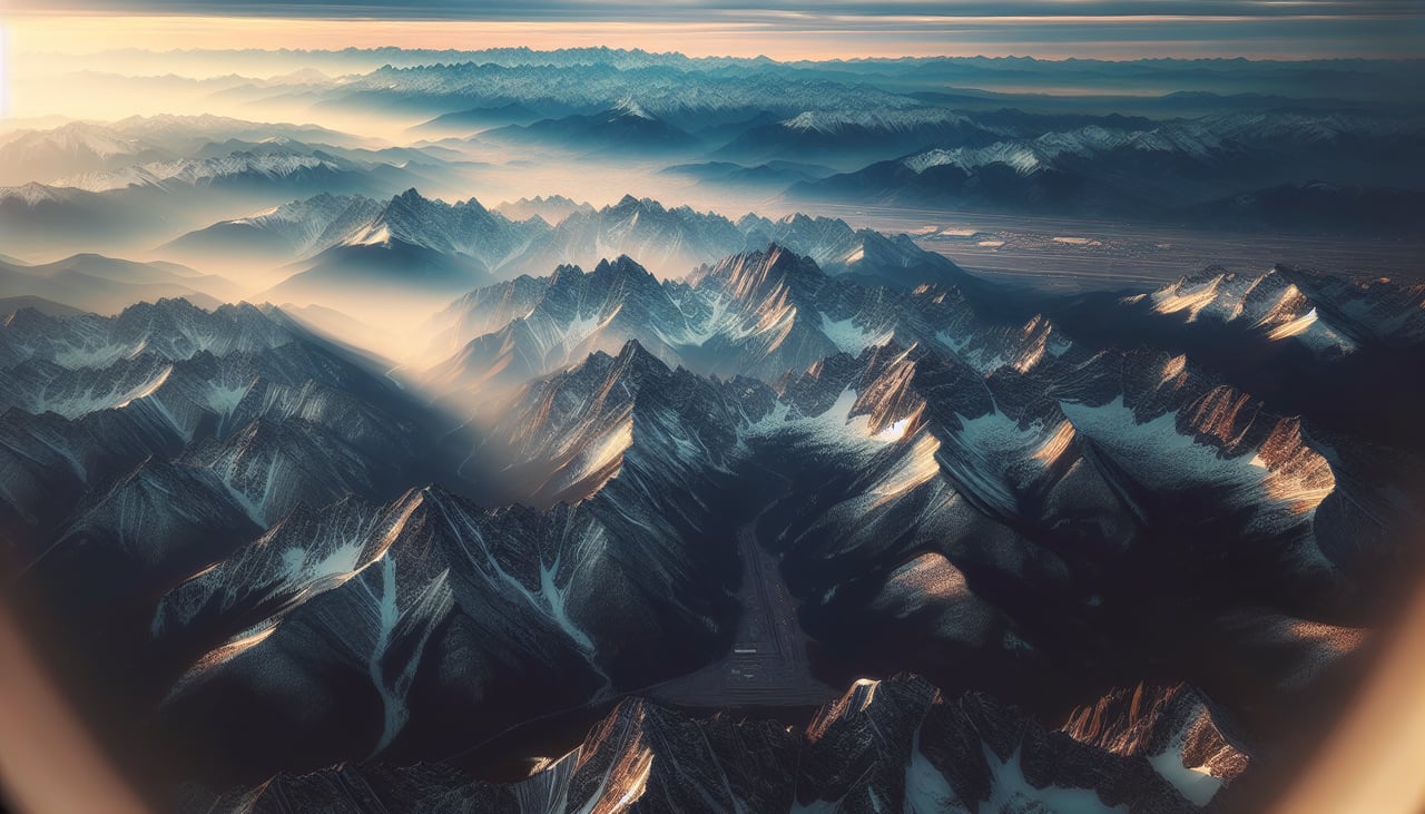
RIGHTOn approach into DEN from the north, the right side of the aircraft faces west, offering a dramatic view of the Front Range's snow-streaked peaks rising abruptly from the plains as the plane descends. The left side instead looks east over flat, featureless prairie.
Landmarks on this routeAll landmarks →
Will your flight be in sunlight?
Pick a date and time in the Sun Map to watch the sun move across your whole flight.
About This Route
Which side of the plane should I sit on flying from Spokane International (GEG) to Denver International (DEN)?
Sit on the Right side of the plane for the best views on flights from Spokane to Denver. The right side wins across the whole flight — scenic Idaho panhandle terrain at takeoff, and a dramatic close-up view of the Front Range peaks rising from the plains during the Denver approach, versus mostly flat, unremarkable prairie on the left.
What can I see during takeoff from Spokane International in Spokane?
During takeoff from Spokane International (GEG), sit on the Right side for the best views. Departing GEG to the southeast, the right side faces south and west, giving passengers a view over the Palouse's rolling wheat hills and the northern Idaho panhandle lakes region before the terrain rises toward the Bitterroot Mountains. The left side mostly shows flatter farmland stretching toward eastern Washington. Notable sights include: Palouse rolling hills, Coeur d'Alene Lake area, Bitterroot Mountains foothills.
What can I see when landing at Denver International in Denver?
When landing at Denver International (DEN), sit on the Right side for the best views. On approach into DEN from the north, the right side of the aircraft faces west, offering a dramatic view of the Front Range's snow-streaked peaks rising abruptly from the plains as the plane descends. The left side instead looks east over flat, featureless prairie. Notable sights include: Front Range peaks, Longs Peak area, Denver's western suburbs, high plains transition line.
How long is the flight from Spokane to Denver?
The flight from Spokane International (GEG) to Denver International (DEN) takes about 2 hours 5 minutes. The shortest flight path between them is 835 miles (1,343 km); winds and air traffic control usually add a few percent.
What does the Spokane to Denver flight path pass over?
Northern Rocky Mountain foothills of Montana/Idaho, Wyoming's Wind River Range and Bighorn Mountains visible in the distance along the flight path before descent toward the Colorado Front Range