Seoul to Seattle is 5,183 miles (8,341 km), a flight of about 11 hours.
Right-side seats capture the most dramatic scenery: Seoul's urban landscape and Han River during departure, then the Pacific crossing, and finally views of the Cascade Range and Puget Sound during approach. Left seats have strong landing views but miss the compelling takeoff sequence.
Flight Path
The flight crosses the Yellow Sea, then the East China Sea, then the Pacific Ocean. Notable midpoint geography includes the Japanese archipelago (visible on clear days, particularly Honshu's northern coast), the Aleutian Islands chain (far north of typical routing), and the North Pacific open water. As the aircraft approaches North America, the Aleutian Islands may be visible to the north, followed by the British Columbia coast, Vancouver Island, and finally the Cascade Range and Puget Sound basin.
Great circle distance and headings ›

Phase by phase
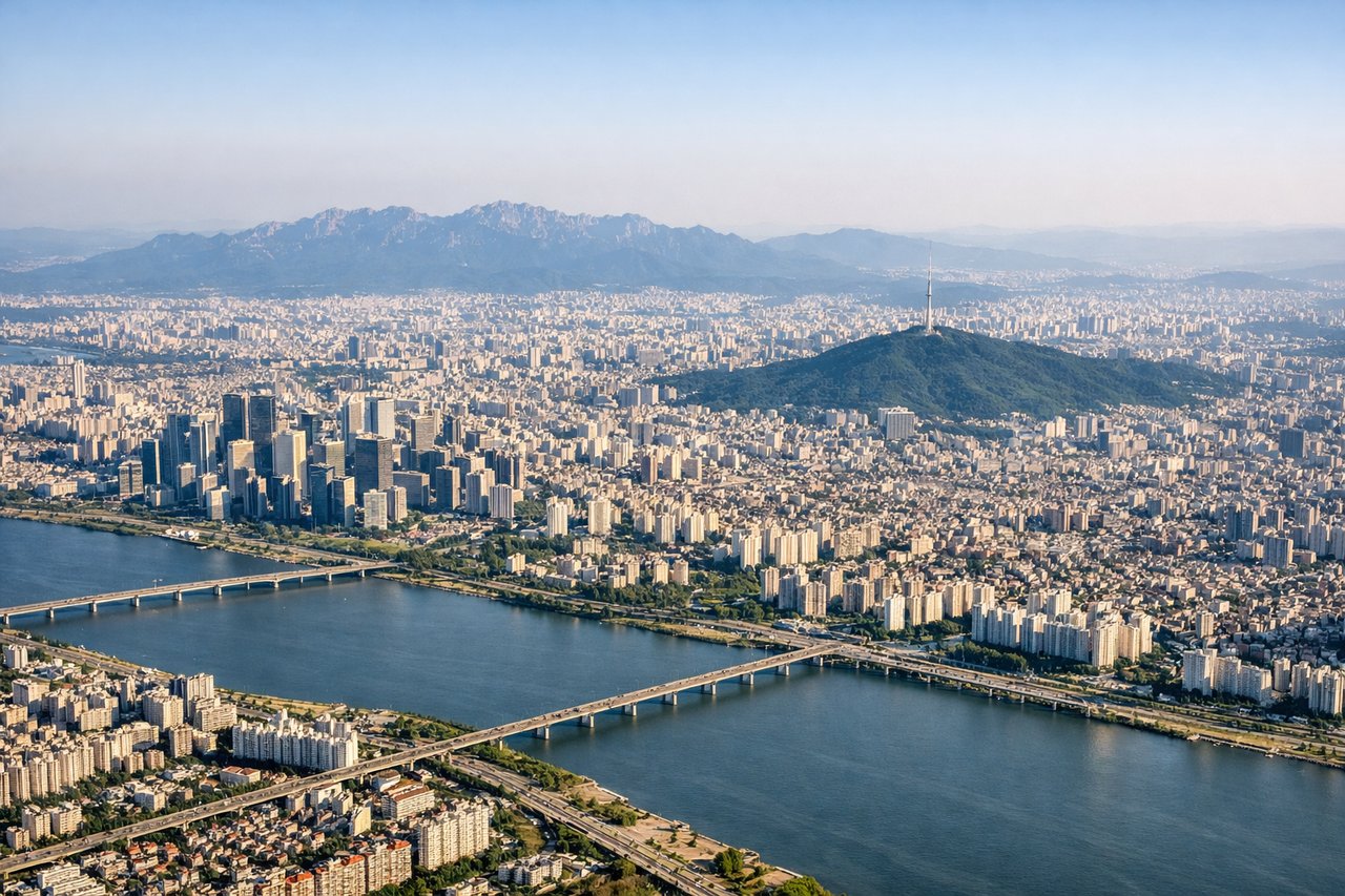
Takeoff from GMP
RIGHTRight-side seats offer views of Seoul's urban sprawl and the Han River as the aircraft climbs northwestward. You'll see the city grid and water features clearly during the initial climb-out before heading over the Yellow Sea.
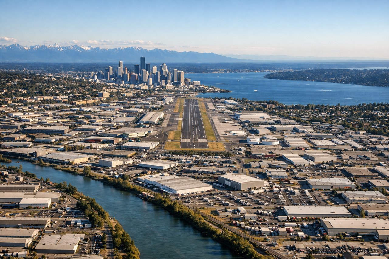
Landing at BFI
LEFTLeft-side seats provide excellent views during the descent into Seattle. You'll see the Cascade Range to the east, Mount Rainier in the distance, and Puget Sound's water features as you approach from the northeast.
Landmarks on this routeAll landmarks →
Will your flight be in sunlight?
Pick a date and time in the Sun Map to watch the sun move across your whole flight.
About This Route
Which side of the plane should I sit on flying from Gimpo (GMP) to Boeing Fld King Co International (BFI)?
Sit on the Right side of the plane for the best views on flights from Seoul to Seattle. Right-side seats capture the most dramatic scenery: Seoul's urban landscape and Han River during departure, then the Pacific crossing, and finally views of the Cascade Range and Puget Sound during approach. Left seats have strong landing views but miss the compelling takeoff sequence.
What can I see during takeoff from Gimpo in Seoul?
During takeoff from Gimpo (GMP), sit on the Right side for the best views. Right-side seats offer views of Seoul's urban sprawl and the Han River as the aircraft climbs northwestward. You'll see the city grid and water features clearly during the initial climb-out before heading over the Yellow Sea. Notable sights include: Han River (Hangang) winding through Seoul, Seoul metropolitan area urban grid, Gimpo Airport itself, Yellow Sea coastline to the west.
What can I see when landing at Boeing Fld King Co International in Seattle?
When landing at Boeing Fld King Co International (BFI), sit on the Left side for the best views. Left-side seats provide excellent views during the descent into Seattle. You'll see the Cascade Range to the east, Mount Rainier in the distance, and Puget Sound's water features as you approach from the northeast. Notable sights include: Mount Rainier (14,411 ft, visible on clear days to the southeast), Cascade Range peaks, Puget Sound and its islands, Lake Washington.
How long is the flight from Seoul to Seattle?
The flight from Gimpo (GMP) to Boeing Fld King Co International (BFI) takes about 11 hours. The shortest flight path between them is 5,183 miles (8,341 km); winds and air traffic control usually add a few percent.
What does the Seoul to Seattle flight path pass over?
The flight crosses the Yellow Sea, then the East China Sea, then the Pacific Ocean. Notable midpoint geography includes the Japanese archipelago (visible on clear days, particularly Honshu's northern coast), the Aleutian Islands chain (far north of typical routing), and the North Pacific open water. As the aircraft approaches North America, the Aleutian Islands may be visible to the north, followed by the British Columbia coast, Vancouver Island, and finally the Cascade Range and Puget Sound basin.