The right side offers a more varied and scenic sequence: São Paulo's skyline and highlands at departure, glimpses of Caribbean islands and the U.S. Atlantic coastline during cruise, and a lake-and-skyline approach into Toronto, compared to the flatter interior and inland views on the left.
Flight Path
Amazon basin fringe and central Brazilian plateau give way to the Caribbean Sea near Cuba and the Bahamas, followed by the Atlantic coastline of Florida, Georgia, and the Carolinas before the route curves inland toward the Great Lakes.
Great circle distance and headings ›


.jpeg?width=600)

Phase by phase

Takeoff from GRU
RIGHTDeparting GRU northbound, the right side gives passengers a view of the sprawling São Paulo metropolitan skyline giving way to the green ridgelines of the Serra da Mantiqueira foothills, while the left side mostly shows flatter interior suburbs and farmland.
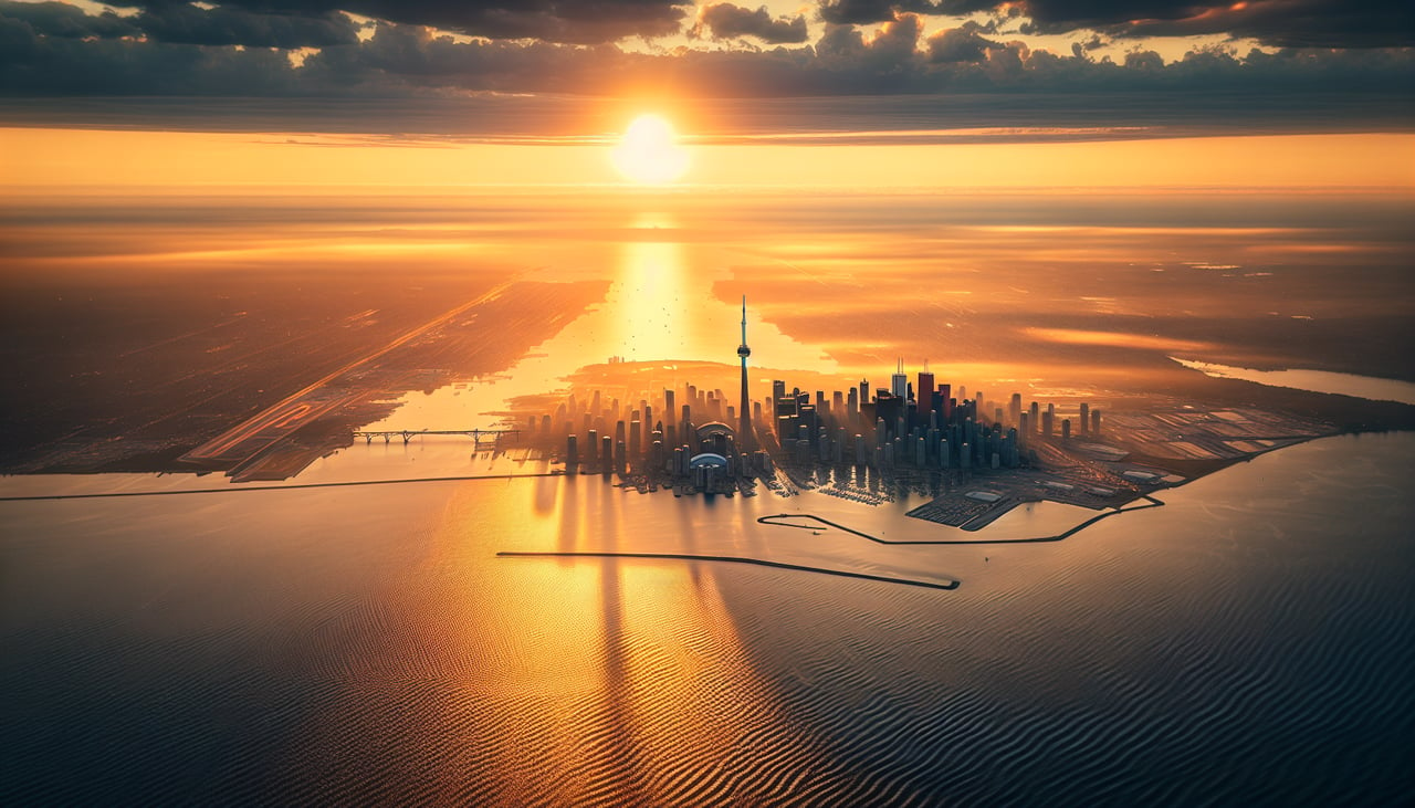
Landing at YYZ
RIGHTArriving into YYZ from the south, the right side typically faces east toward Lake Ontario and the Toronto skyline including the CN Tower during the descent and turn onto final approach, while the left side shows only suburban sprawl inland.
Landmarks on this routeAll landmarks →
Will your flight be in sunlight?
See exactly which side of the plane gets sun and shade at your departure time.
About This Route
Which side of the plane should I sit on flying from Guarulhos (GRU) to Lester B Pearson International (YYZ)?
Sit on the Right side of the plane for the best views on flights from Sao Paulo to Toronto. The right side offers a more varied and scenic sequence: São Paulo's skyline and highlands at departure, glimpses of Caribbean islands and the U.S. Atlantic coastline during cruise, and a lake-and-skyline approach into Toronto, compared to the flatter interior and inland views on the left.
What can I see during takeoff from Guarulhos in Sao Paulo?
During takeoff from Guarulhos (GRU), sit on the Right side for the best views. Departing GRU northbound, the right side gives passengers a view of the sprawling São Paulo metropolitan skyline giving way to the green ridgelines of the Serra da Mantiqueira foothills, while the left side mostly shows flatter interior suburbs and farmland. Notable sights include: São Paulo skyline, Serra da Mantiqueira foothills, Tietê river valley.
What can I see when landing at Lester B Pearson International in Toronto?
When landing at Lester B Pearson International (YYZ), sit on the Right side for the best views. Arriving into YYZ from the south, the right side typically faces east toward Lake Ontario and the Toronto skyline including the CN Tower during the descent and turn onto final approach, while the left side shows only suburban sprawl inland. Notable sights include: Lake Ontario shoreline, Toronto skyline and CN Tower, Toronto Islands.
How long is the flight from Sao Paulo to Toronto?
The flight from Guarulhos (GRU) to Lester B Pearson International (YYZ) takes 9h 45m.
What does the Sao Paulo to Toronto flight path pass over?
Amazon basin fringe and central Brazilian plateau give way to the Caribbean Sea near Cuba and the Bahamas, followed by the Atlantic coastline of Florida, Georgia, and the Carolinas before the route curves inland toward the Great Lakes.