Right side scores 3.5 vs left's 2.5 due to superior scenic variety across the full flight. Takeoff offers Hong Kong's iconic harbor and peak views; cruise crosses the Taiwan Strait with coastal and mountain perspectives; landing reveals Taichung's coastal plain and Central Mountain Range foothills. Left side is dominated by open water during cruise with minimal landmark density.
Flown HKG to RMQ? Did we get it right?
Flight Path
Hong Kong to Taichung is 446 miles (718 km), a flight of about 1 hour 40 minutes.
Taiwan Strait open water (primary cruise phase), distant views of Taiwan's northern coast and Central Mountain Range western slopes, occasional fishing vessel activity in the strait, coastal city lights of Taiwan's west coast during descent
Great circle distance and headings ›Phase by phase
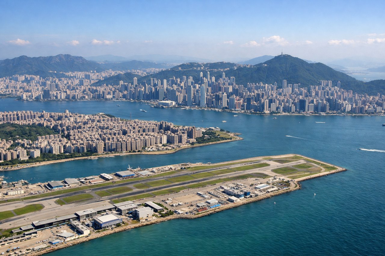
Takeoff from HKG
RIGHTRight side captures Hong Kong's dramatic harbor and Victoria Peak during departure. Depending on runway direction (07 or 25), the right side offers views of Victoria Harbour, Kowloon Peninsula, and the New Territories' mountainous terrain as the aircraft climbs northeastward or southwestward.
Landing at RMQ
RIGHTRight side provides superior approach views into Taichung. During descent on runway 36 (northbound, winter) or runway 18 (southbound, summer), the right side reveals the Taichung coastal plain, the Taiwan Strait coastline, and the Central Mountain Range's western foothills. The approach path crosses agricultural lowlands and urban Taichung before landing.
Will your flight be in sunlight?
Pick a date and time in the Sun Map to watch the sun move across your whole flight.
About This Route
Which side of the plane should I sit on flying from Hong Kong International (HKG) to Taichung International Airport / Ching Chuang Kang Air Base (RMQ)?
Sit on the Right side of the plane for the best views on flights from Hong Kong to Taichung. Right side scores 3.5 vs left's 2.5 due to superior scenic variety across the full flight. Takeoff offers Hong Kong's iconic harbor and peak views; cruise crosses the Taiwan Strait with coastal and mountain perspectives; landing reveals Taichung's coastal plain and Central Mountain Range foothills. Left side is dominated by open water during cruise with minimal landmark density.
What can I see during takeoff from Hong Kong International in Hong Kong?
During takeoff from Hong Kong International (HKG), sit on the Right side for the best views. Right side captures Hong Kong's dramatic harbor and Victoria Peak during departure. Depending on runway direction (07 or 25), the right side offers views of Victoria Harbour, Kowloon Peninsula, and the New Territories' mountainous terrain as the aircraft climbs northeastward or southwestward. Notable sights include: Victoria Harbour with Star Ferry routes, Victoria Peak (1,811 ft), Kowloon Peninsula urban sprawl, New Territories mountain ridges.
What can I see when landing at Taichung International Airport / Ching Chuang Kang Air Base in Taichung?
When landing at Taichung International Airport / Ching Chuang Kang Air Base (RMQ), sit on the Right side for the best views. Right side provides superior approach views into Taichung. During descent on runway 36 (northbound, winter) or runway 18 (southbound, summer), the right side reveals the Taichung coastal plain, the Taiwan Strait coastline, and the Central Mountain Range's western foothills. The approach path crosses agricultural lowlands and urban Taichung before landing. Notable sights include: Taiwan Strait coastline, Taichung Harbor and port facilities, Central Mountain Range western slopes, Taichung urban sprawl and grid pattern.
How long is the flight from Hong Kong to Taichung?
The flight from Hong Kong International (HKG) to Taichung International Airport / Ching Chuang Kang Air Base (RMQ) takes about 1 hour 40 minutes. The shortest flight path between them is 446 miles (718 km); winds and air traffic control usually add a few percent.
What does the Hong Kong to Taichung flight path pass over?
Taiwan Strait open water (primary cruise phase), distant views of Taiwan's northern coast and Central Mountain Range western slopes, occasional fishing vessel activity in the strait, coastal city lights of Taiwan's west coast during descent