Tokyo to Miyazaki is 542 miles (872 km), a flight of about 1 hour 20 minutes.
The left side misses the best of the Tokyo Bay departure but wins decisively on the approach with the Kirishima mountains and Miyazaki coast. During the cruise portion heading southwest, the left side also tracks closer to the Shikoku and Kyushu mountain interiors, offering better terrain views than the open Pacific on the right.
Flight Path
The flight tracks southwest over the Kii Peninsula and Kii Channel, then crosses Shikoku where the Shikoku Mountains (Tsurugi-san area) are visible, before crossing the Bungo Channel between Shikoku and Kyushu and descending over northern Miyazaki Prefecture toward the coast.
Great circle distance and headings ›

Phase by phase
Takeoff from HND
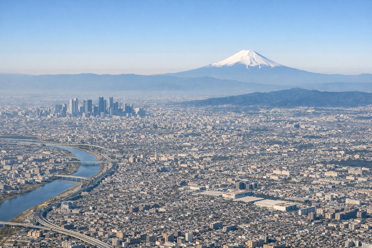
RIGHTHaneda typically departs southward or westward over Tokyo Bay. The right side gives you a clear view of Tokyo Bay's broad expanse and the city waterfront. You'll also catch the Rainbow Bridge and the dense urban grid of central Tokyo before the aircraft turns southwest.
Landing at KMI
LEFTMiyazaki Airport sits on the coast facing east, and aircraft typically approach from the northeast or north over Hyuga-nada (the sea). The left side on approach gives you the Miyazaki coastal plain and the Kirishima mountain range rising inland to the west, while the right side faces open ocean.
Landmarks on this routeAll landmarks →
Will your flight be in sunlight?
Pick a date and time in the Sun Map to watch the sun move across your whole flight.
About This Route
Which side of the plane should I sit on flying from Tokyo International (HND) to Miyazaki (KMI)?
Sit on the Left side of the plane for the best views on flights from Tokyo to Miyazaki. The left side misses the best of the Tokyo Bay departure but wins decisively on the approach with the Kirishima mountains and Miyazaki coast. During the cruise portion heading southwest, the left side also tracks closer to the Shikoku and Kyushu mountain interiors, offering better terrain views than the open Pacific on the right.
What can I see during takeoff from Tokyo International in Tokyo?
During takeoff from Tokyo International (HND), sit on the Right side for the best views. Haneda typically departs southward or westward over Tokyo Bay. The right side gives you a clear view of Tokyo Bay's broad expanse and the city waterfront. You'll also catch the Rainbow Bridge and the dense urban grid of central Tokyo before the aircraft turns southwest. Notable sights include: Tokyo Bay, Rainbow Bridge, Yokohama port and waterfront, Tokyo urban grid.
What can I see when landing at Miyazaki in Miyazaki?
When landing at Miyazaki (KMI), sit on the Left side for the best views. Miyazaki Airport sits on the coast facing east, and aircraft typically approach from the northeast or north over Hyuga-nada (the sea). The left side on approach gives you the Miyazaki coastal plain and the Kirishima mountain range rising inland to the west, while the right side faces open ocean. Notable sights include: Hyuga-nada coastline, Miyazaki coastal plain, Kirishima mountain range, Oyodo River mouth.
How long is the flight from Tokyo to Miyazaki?
The flight from Tokyo International (HND) to Miyazaki (KMI) takes about 1 hour 20 minutes. The shortest flight path between them is 542 miles (872 km); winds and air traffic control usually add a few percent.
What does the Tokyo to Miyazaki flight path pass over?
The flight tracks southwest over the Kii Peninsula and Kii Channel, then crosses Shikoku where the Shikoku Mountains (Tsurugi-san area) are visible, before crossing the Bungo Channel between Shikoku and Kyushu and descending over northern Miyazaki Prefecture toward the coast.