Tokyo to Sendai is 190 miles (305 km), a flight of about 1 hour.
The right side captures Tokyo Bay and the Yokohama waterfront on departure, then as the flight tracks northeast along the Pacific coast, the right side continues to offer views of the Sanriku-adjacent coastline and the Pacific Ocean. The left side has the Ou Mountain range inland but they are distant and less dramatic at this short flight's cruising altitude. Right side wins for consistent coastal and water views throughout.
Flight Path
The flight tracks northeast over the Kanto Plain, crossing into Tohoku over Fukushima Prefecture. The Pacific coastline of Ibaraki and Fukushima prefectures is visible to the right. The Abukuma Highlands form a low inland ridge to the left. At cruising altitude of roughly 20,000-25,000 feet, the Ou Mountain range (including Zao-san) is visible as a spine running parallel to the flight path on the left side, while the flat Pacific coastal plain of Tohoku stretches to the right.
Great circle distance and headings ›Phase by phase
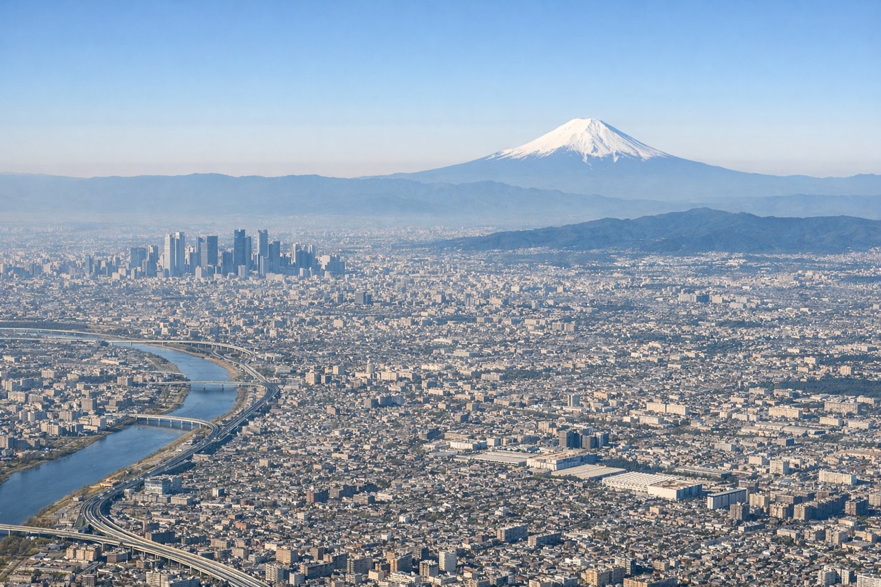
Takeoff from HND
RIGHTDeparting HND typically on runways 34L/34R heading north, the right side faces east toward Tokyo Bay and the urban sprawl of central Tokyo, Yokohama, and the bay's industrial waterfront. You get a clear look at the bay's geometry and the dense city grid below.
Landing at SDJ
LEFTSendai Airport (SDJ) typically uses runway 09/27, with landings often from the east on runway 27 heading west. The left side faces south toward the Sendai plain and the Pacific coastline, including the low coastal terrain that was heavily affected by the 2011 tsunami — a historically significant and visually distinctive flat coastal landscape.
Landmarks on this routeAll landmarks →
Will your flight be in sunlight?
Pick a date and time in the Sun Map to watch the sun move across your whole flight.
About This Route
Which side of the plane should I sit on flying from Tokyo International (HND) to Sendai (SDJ)?
Sit on the Right side of the plane for the best views on flights from Tokyo to Sendai. The right side captures Tokyo Bay and the Yokohama waterfront on departure, then as the flight tracks northeast along the Pacific coast, the right side continues to offer views of the Sanriku-adjacent coastline and the Pacific Ocean. The left side has the Ou Mountain range inland but they are distant and less dramatic at this short flight's cruising altitude. Right side wins for consistent coastal and water views throughout.
What can I see during takeoff from Tokyo International in Tokyo?
During takeoff from Tokyo International (HND), sit on the Right side for the best views. Departing HND typically on runways 34L/34R heading north, the right side faces east toward Tokyo Bay and the urban sprawl of central Tokyo, Yokohama, and the bay's industrial waterfront. You get a clear look at the bay's geometry and the dense city grid below. Notable sights include: Tokyo Bay, Yokohama port and waterfront, central Tokyo urban grid, Haneda airport reclamation islands.
What can I see when landing at Sendai in Sendai?
When landing at Sendai (SDJ), sit on the Left side for the best views. Sendai Airport (SDJ) typically uses runway 09/27, with landings often from the east on runway 27 heading west. The left side faces south toward the Sendai plain and the Pacific coastline, including the low coastal terrain that was heavily affected by the 2011 tsunami — a historically significant and visually distinctive flat coastal landscape. Notable sights include: Sendai coastal plain, Pacific Ocean coastline, Natori River mouth, Sendai city urban area.
How long is the flight from Tokyo to Sendai?
The flight from Tokyo International (HND) to Sendai (SDJ) takes about 1 hour. The shortest flight path between them is 190 miles (305 km); winds and air traffic control usually add a few percent.
What does the Tokyo to Sendai flight path pass over?
The flight tracks northeast over the Kanto Plain, crossing into Tohoku over Fukushima Prefecture. The Pacific coastline of Ibaraki and Fukushima prefectures is visible to the right. The Abukuma Highlands form a low inland ridge to the left. At cruising altitude of roughly 20,000-25,000 feet, the Ou Mountain range (including Zao-san) is visible as a spine running parallel to the flight path on the left side, while the flat Pacific coastal plain of Tohoku stretches to the right.