Both sides face many hours of open North Pacific during cruise, but the right side pairs a solid Tokyo Bay departure view with a dramatic mountain-and-city arrival into Vancouver, giving it the edge over the left side's city-only takeoff and flatter Fraser Valley landing view.
Flown HND to YVR? Did we get it right?
Flight Path
Tokyo to Vancouver is 4,697 miles (7,558 km), a flight of about 9 hours 30 minutes.
Long crossing of the open North Pacific, passing south of the Aleutian Islands and through the Gulf of Alaska before reaching the British Columbia coast near Haida Gwaii and Vancouver Island.
Great circle distance and headings ›


Phase by phase
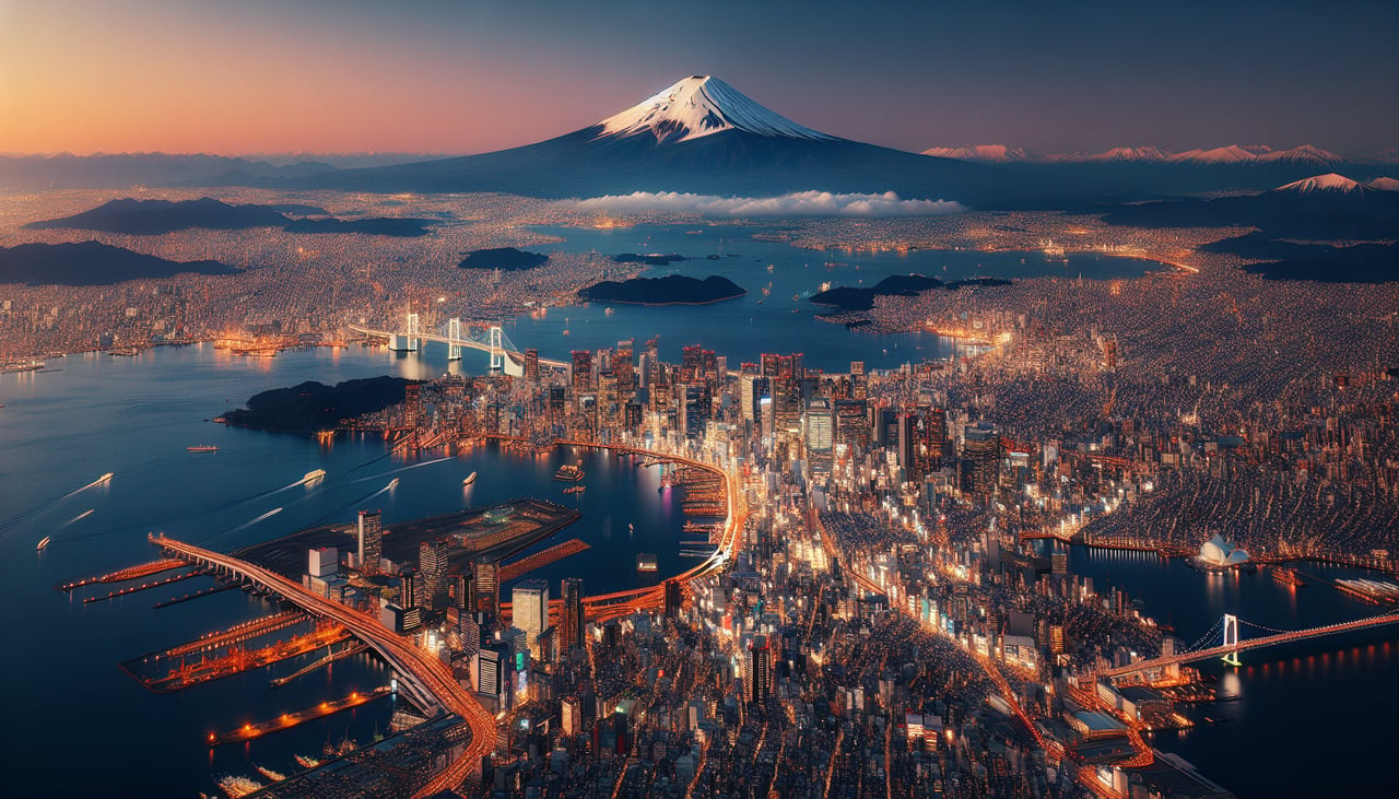
Takeoff from HND
LEFTDeparting Haneda on the northeast-bound runway used for trans-Pacific routings, the initial climb tracks over Tokyo Bay with the city on the left. Passengers get a good look at central Tokyo's skyline before the aircraft turns out to sea.
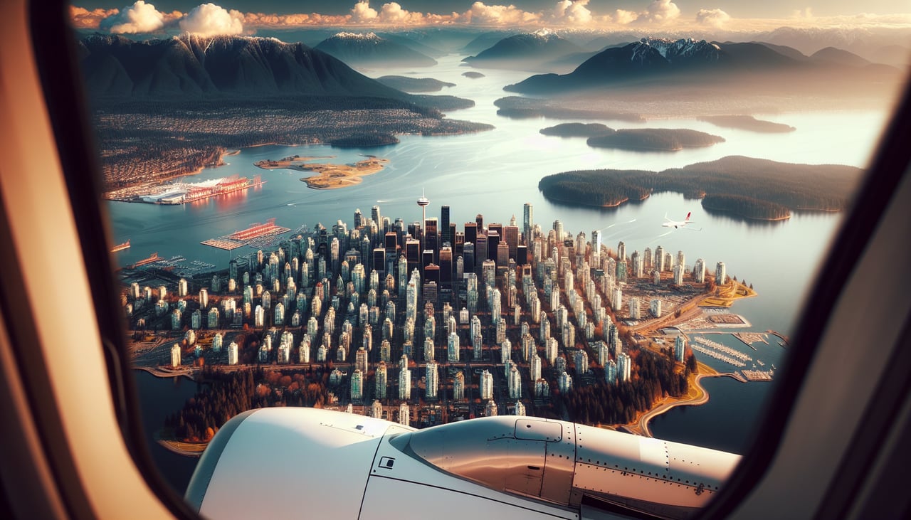
Landing at YVR
RIGHTOn the approach into YVR aligned with the westward-landing runways, the aircraft crosses the Fraser Valley with the North Shore mountains and downtown Vancouver skyline visible off the right side. This gives a strong final impression of Coast Mountains meeting the sea.
Will your flight be in sunlight?
Pick a date and time in the Sun Map to watch the sun move across your whole flight.
About This Route
Which side of the plane should I sit on flying from Tokyo International (HND) to Vancouver International (YVR)?
Sit on the Right side of the plane for the best views on flights from Tokyo to Vancouver. Both sides face many hours of open North Pacific during cruise, but the right side pairs a solid Tokyo Bay departure view with a dramatic mountain-and-city arrival into Vancouver, giving it the edge over the left side's city-only takeoff and flatter Fraser Valley landing view.
What can I see during takeoff from Tokyo International in Tokyo?
During takeoff from Tokyo International (HND), sit on the Left side for the best views. Departing Haneda on the northeast-bound runway used for trans-Pacific routings, the initial climb tracks over Tokyo Bay with the city on the left. Passengers get a good look at central Tokyo's skyline before the aircraft turns out to sea. Notable sights include: Tokyo Tower, Tokyo Skytree, Rainbow Bridge and Tokyo Bay, dense Shinjuku/Shibuya skyline.
What can I see when landing at Vancouver International in Vancouver?
When landing at Vancouver International (YVR), sit on the Right side for the best views. On the approach into YVR aligned with the westward-landing runways, the aircraft crosses the Fraser Valley with the North Shore mountains and downtown Vancouver skyline visible off the right side. This gives a strong final impression of Coast Mountains meeting the sea. Notable sights include: North Shore Coast Mountains (Grouse and Cypress), downtown Vancouver skyline, Burrard Inlet, Strait of Georgia in the distance.
How long is the flight from Tokyo to Vancouver?
The flight from Tokyo International (HND) to Vancouver International (YVR) takes about 9 hours 30 minutes. The shortest flight path between them is 4,697 miles (7,558 km); winds and air traffic control usually add a few percent.
What does the Tokyo to Vancouver flight path pass over?
Long crossing of the open North Pacific, passing south of the Aleutian Islands and through the Gulf of Alaska before reaching the British Columbia coast near Haida Gwaii and Vancouver Island.