The left side wins for both takeoff and landing, offering distant Appalachian ridge views on departure and a scenic look at the Miami Valley's rivers and farmland on arrival, while the right side stays largely flat and featureless throughout this short flight.
Flight Path
Rolling Allegheny Plateau foothills of West Virginia giving way to the flatter farmland of southwestern Pennsylvania and southern Ohio
Great circle distance and headings ›Phase by phase
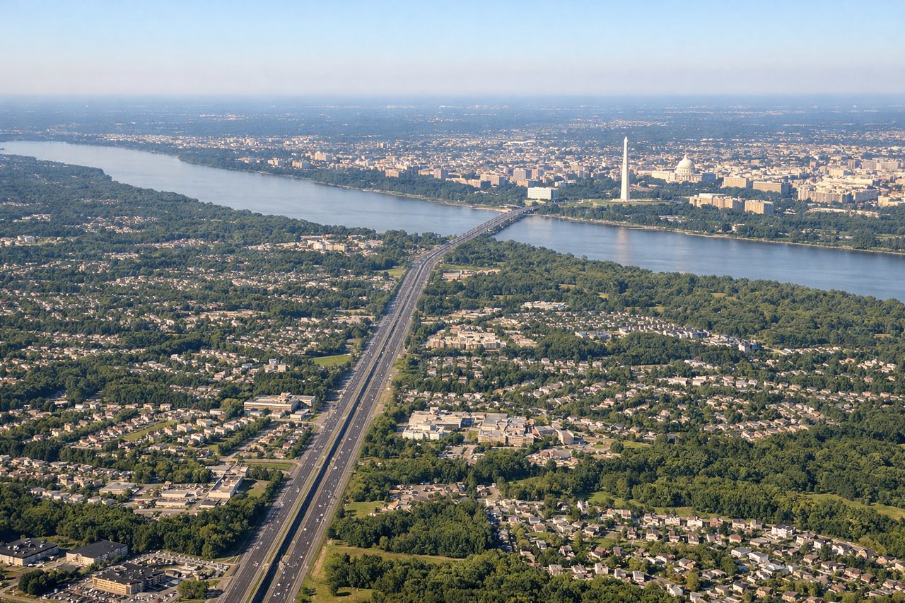
Takeoff from IAD
LEFTDeparting IAD and turning northwest toward Dayton, the left side offers views back across the Blue Ridge foothills and the northern Shenandoah Valley, with layered ridgelines of the Alleghenies visible in the distance. The right side mostly shows flatter Piedmont terrain and suburban sprawl north of Washington.
Landing at DAY
LEFTOn approach into Dayton, the left side gives passengers a view over the rolling hills of southwestern Ohio's Miami Valley, including glimpses of the Great Miami and Mad Rivers threading through farmland before touchdown. The right side view during a typical eastern approach shows mostly flat, undifferentiated farmland with fewer visual reference points.
Landmarks on this routeAll landmarks →
Will your flight be in sunlight?
See exactly which side of the plane gets sun and shade at your departure time.
About This Route
Which side of the plane should I sit on flying from Washington Dulles International (IAD) to James M Cox Dayton International (DAY)?
Sit on the Left side of the plane for the best views on flights from Washington to Dayton. The left side wins for both takeoff and landing, offering distant Appalachian ridge views on departure and a scenic look at the Miami Valley's rivers and farmland on arrival, while the right side stays largely flat and featureless throughout this short flight.
What can I see during takeoff from Washington Dulles International in Washington?
During takeoff from Washington Dulles International (IAD), sit on the Left side for the best views. Departing IAD and turning northwest toward Dayton, the left side offers views back across the Blue Ridge foothills and the northern Shenandoah Valley, with layered ridgelines of the Alleghenies visible in the distance. The right side mostly shows flatter Piedmont terrain and suburban sprawl north of Washington. Notable sights include: Blue Ridge Mountains foothills, Shenandoah Valley, Potomac River bends, Northern Virginia suburbs.
What can I see when landing at James M Cox Dayton International in Dayton?
When landing at James M Cox Dayton International (DAY), sit on the Left side for the best views. On approach into Dayton, the left side gives passengers a view over the rolling hills of southwestern Ohio's Miami Valley, including glimpses of the Great Miami and Mad Rivers threading through farmland before touchdown. The right side view during a typical eastern approach shows mostly flat, undifferentiated farmland with fewer visual reference points. Notable sights include: Great Miami River, Mad River confluence, Miami Valley farmland, Dayton's outer suburbs.
How long is the flight from Washington to Dayton?
The flight from Washington Dulles International (IAD) to James M Cox Dayton International (DAY) takes 1h 12m.
What does the Washington to Dayton flight path pass over?
Rolling Allegheny Plateau foothills of West Virginia giving way to the flatter farmland of southwestern Pennsylvania and southern Ohio