Ishigaki to Naha is 246 miles (395 km), a flight of about 55 minutes.
The takeoff view from Ishigaki's northeast departure is more visually distinctive, with immediate reef formations, coastal features, and the Yaeyama Islands clearly visible. The landing approach over Okinawa's western coast is scenic but less dramatic. Right-side seats capture the more memorable departure sequence.
Flight Path
The flight path crosses the Kerama Channel between Ishigaki and Okinawa. At midpoint (roughly 25 minutes into flight), the Kerama Islands become visible on the left (west) side at 15,000-20,000 feet—a small cluster of forested islands with white beaches. The East China Sea dominates the view, with Okinawa's northern coastline gradually appearing on the right (east) as the aircraft descends toward Naha. No major mountains are visible along this route; the terrain is predominantly low-lying islands and open water.
Great circle distance and headings ›Phase by phase
Takeoff from ISG
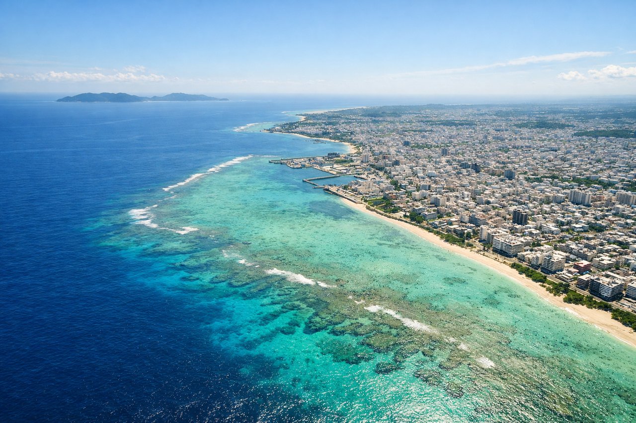
RIGHTIshigaki typically departs runway 04 (northeast heading). Right-side seats face toward the Yaeyama Islands archipelago and the Philippine Sea, with immediate views of the island's limestone plateaus and surrounding reef systems. Left seats look inland over the island's interior.
Landing at OKA
LEFTNaha typically lands runway 34R (north-northeast approach). Left-side seats on descent face west toward the Kerama Islands and the East China Sea, with views of Okinawa's western coastline and the approach path over Nakijin and Motobu districts. Right seats see inland terrain.
Will your flight be in sunlight?
Pick a date and time in the Sun Map to watch the sun move across your whole flight.
About This Route
Which side of the plane should I sit on flying from New Ishigaki Airport (ISG) to Naha (OKA)?
Sit on the Right side of the plane for the best views on flights from Ishigaki to Naha. The takeoff view from Ishigaki's northeast departure is more visually distinctive, with immediate reef formations, coastal features, and the Yaeyama Islands clearly visible. The landing approach over Okinawa's western coast is scenic but less dramatic. Right-side seats capture the more memorable departure sequence.
What can I see during takeoff from New Ishigaki Airport in Ishigaki?
During takeoff from New Ishigaki Airport (ISG), sit on the Right side for the best views. Ishigaki typically departs runway 04 (northeast heading). Right-side seats face toward the Yaeyama Islands archipelago and the Philippine Sea, with immediate views of the island's limestone plateaus and surrounding reef systems. Left seats look inland over the island's interior. Notable sights include: Kabira Bay (distinctive turquoise lagoon on Ishigaki's northwest coast), Omoto Mountain (highest point on Ishigaki at 526m, visible as a forested ridge), Yonehara Beach (white sand beach on northeast coast), surrounding Yaeyama reef formations.
What can I see when landing at Naha in Naha?
When landing at Naha (OKA), sit on the Left side for the best views. Naha typically lands runway 34R (north-northeast approach). Left-side seats on descent face west toward the Kerama Islands and the East China Sea, with views of Okinawa's western coastline and the approach path over Nakijin and Motobu districts. Right seats see inland terrain. Notable sights include: Kerama Islands (small archipelago 30 miles west of Naha), Okinawa's western coastline with Motobu Peninsula, Nakijin district's agricultural plains, East China Sea.
How long is the flight from Ishigaki to Naha?
The flight from New Ishigaki Airport (ISG) to Naha (OKA) takes about 55 minutes. The shortest flight path between them is 246 miles (395 km); winds and air traffic control usually add a few percent.
What does the Ishigaki to Naha flight path pass over?
The flight path crosses the Kerama Channel between Ishigaki and Okinawa. At midpoint (roughly 25 minutes into flight), the Kerama Islands become visible on the left (west) side at 15,000-20,000 feet—a small cluster of forested islands with white beaches. The East China Sea dominates the view, with Okinawa's northern coastline gradually appearing on the right (east) as the aircraft descends toward Naha. No major mountains are visible along this route; the terrain is predominantly low-lying islands and open water.