While takeoff favors the right, the landing view of the Great Barrier Reef and Trinity Bay from the left is geographically more distinctive and memorable. The reef approach is a signature visual for this route that outweighs the Perth departure views.
Flown JAD to CNS? Did we get it right?
Flight Path
Perth to Cairns is 2,141 miles (3,446 km), a flight of about 4 hours 40 minutes.
The flight path crosses inland over Western Australia's interior, passing east of the Pilbara region and over sparse semi-arid terrain. Around the midpoint (roughly over the Kimberley region), the landscape transitions from red earth and sparse vegetation to more tropical vegetation as you approach the Queensland coast. The Coral Sea becomes visible approximately 45 minutes before landing at Cairns. No major mountain ranges are prominently visible from cruise altitude on this route, though the terrain gradually rises and becomes more vegetated moving northeastward.
Great circle distance and headings ›

Phase by phase
Takeoff from JAD
RIGHTRight-side seats capture the Swan River estuary and Perth's western suburbs during the initial climb. Jandakot typically departs to the north or northeast, and right-side views show the river's distinctive meanders and the Indian Ocean coastline as you gain altitude.
Landing at CNS
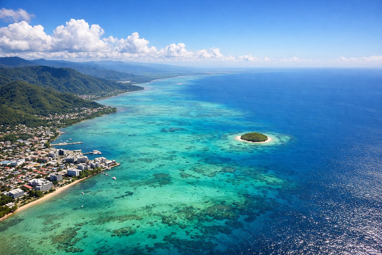
LEFTLeft-side seats provide excellent views of the Great Barrier Reef's outer structures and the Cairns coastline during descent. Cairns typically lands from the north or northeast, and left-side views show Trinity Bay, the reef edge, and the distinctive coastal geography as you descend toward the runway.
Will your flight be in sunlight?
Pick a date and time in the Sun Map to watch the sun move across your whole flight.
About This Route
Which side of the plane should I sit on flying from Perth Jandakot (JAD) to Cairns International (CNS)?
Sit on the Left side of the plane for the best views on flights from Perth to Cairns. While takeoff favors the right, the landing view of the Great Barrier Reef and Trinity Bay from the left is geographically more distinctive and memorable. The reef approach is a signature visual for this route that outweighs the Perth departure views.
What can I see during takeoff from Perth Jandakot in Perth?
During takeoff from Perth Jandakot (JAD), sit on the Right side for the best views. Right-side seats capture the Swan River estuary and Perth's western suburbs during the initial climb. Jandakot typically departs to the north or northeast, and right-side views show the river's distinctive meanders and the Indian Ocean coastline as you gain altitude. Notable sights include: Swan River estuary, Fremantle port area to the southwest, Perth city skyline to the north, Indian Ocean horizon.
What can I see when landing at Cairns International in Cairns?
When landing at Cairns International (CNS), sit on the Left side for the best views. Left-side seats provide excellent views of the Great Barrier Reef's outer structures and the Cairns coastline during descent. Cairns typically lands from the north or northeast, and left-side views show Trinity Bay, the reef edge, and the distinctive coastal geography as you descend toward the runway. Notable sights include: Trinity Bay, Great Barrier Reef outer edge, Cairns city waterfront, Barron River delta.
How long is the flight from Perth to Cairns?
The flight from Perth Jandakot (JAD) to Cairns International (CNS) takes about 4 hours 40 minutes. The shortest flight path between them is 2,141 miles (3,446 km); winds and air traffic control usually add a few percent.
What does the Perth to Cairns flight path pass over?
The flight path crosses inland over Western Australia's interior, passing east of the Pilbara region and over sparse semi-arid terrain. Around the midpoint (roughly over the Kimberley region), the landscape transitions from red earth and sparse vegetation to more tropical vegetation as you approach the Queensland coast. The Coral Sea becomes visible approximately 45 minutes before landing at Cairns. No major mountain ranges are prominently visible from cruise altitude on this route, though the terrain gradually rises and becomes more vegetated moving northeastward.