New York to Savannah is 718 miles (1,155 km), a flight of about 2 hours 10 minutes.
Left-side passengers get a much longer stretch of scenic value during cruise, tracing the Atlantic coastline past the Jersey Shore, Delmarva Peninsula, Chesapeake Bay mouth, and Outer Banks, plus a strong coastal marsh view on final approach into Savannah.
Flight Path
Delmarva Peninsula, mouth of Chesapeake Bay, and the barrier islands of the Outer Banks are visible along the coastal flight path near the midpoint of the route.
Great circle distance and headings ›.jpg?width=600)

Phase by phase
Takeoff from JFK
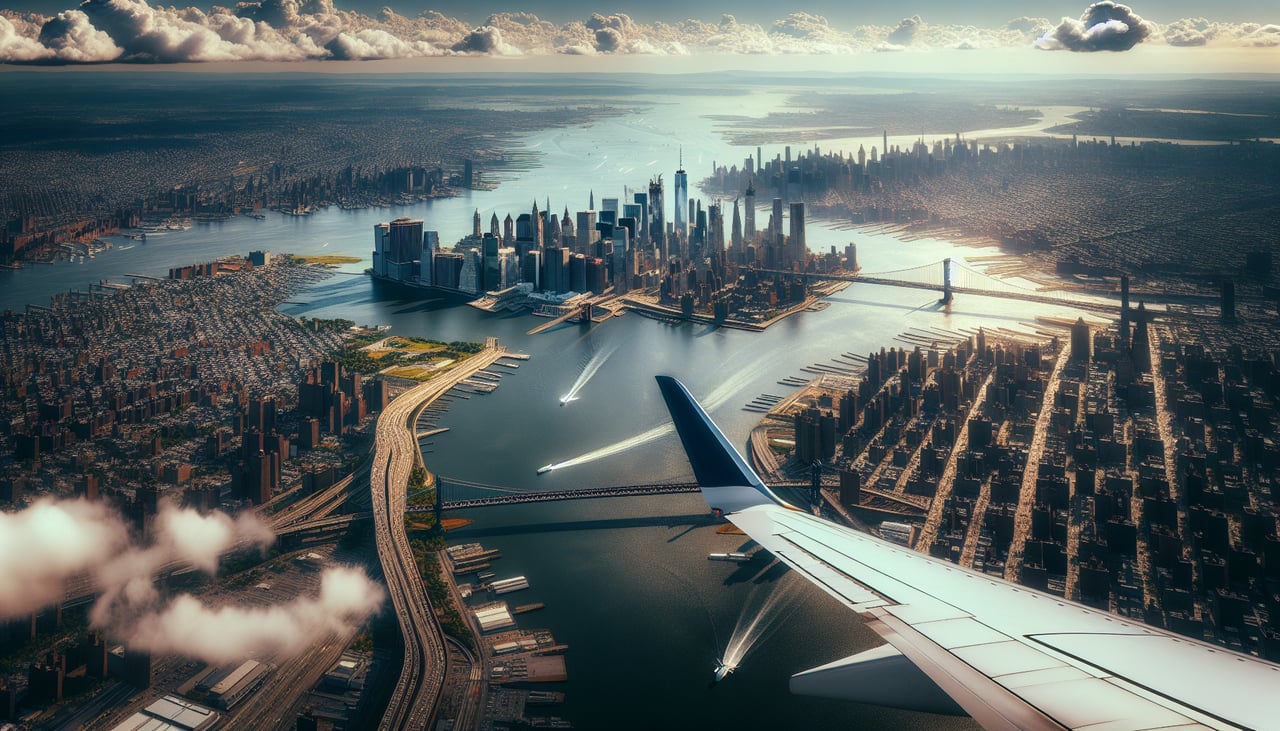
RIGHTDeparting JFK southbound, the aircraft typically banks south over Long Island, giving right-side passengers a brief but recognizable view of the Manhattan skyline and Upper Bay before the plane straightens out over New Jersey.
Landing at SAV
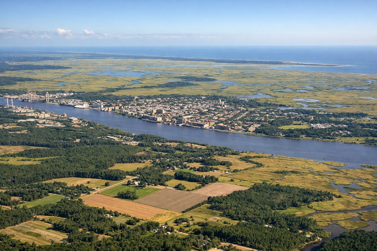
LEFTOn approach into Savannah, flights descending from the north cross the marshy Georgia coastline and the winding Savannah River, giving left-side passengers views of tidal marshlands, barrier islands, and the historic riverfront just before touchdown.
Landmarks on this routeAll landmarks →
Will your flight be in sunlight?
Pick a date and time in the Sun Map to watch the sun move across your whole flight.
About This Route
Which side of the plane should I sit on flying from John F Kennedy International (JFK) to Savannah Hilton Head International (SAV)?
Sit on the Left side of the plane for the best views on flights from New York to Savannah. Left-side passengers get a much longer stretch of scenic value during cruise, tracing the Atlantic coastline past the Jersey Shore, Delmarva Peninsula, Chesapeake Bay mouth, and Outer Banks, plus a strong coastal marsh view on final approach into Savannah.
What can I see during takeoff from John F Kennedy International in New York?
During takeoff from John F Kennedy International (JFK), sit on the Right side for the best views. Departing JFK southbound, the aircraft typically banks south over Long Island, giving right-side passengers a brief but recognizable view of the Manhattan skyline and Upper Bay before the plane straightens out over New Jersey. Notable sights include: Manhattan skyline, Verrazzano-Narrows Bridge, Jamaica Bay, Lower New York Bay.
What can I see when landing at Savannah Hilton Head International in Savannah?
When landing at Savannah Hilton Head International (SAV), sit on the Left side for the best views. On approach into Savannah, flights descending from the north cross the marshy Georgia coastline and the winding Savannah River, giving left-side passengers views of tidal marshlands, barrier islands, and the historic riverfront just before touchdown. Notable sights include: Savannah River, Tybee Island marshes, coastal barrier islands, tidal creek networks.
How long is the flight from New York to Savannah?
The flight from John F Kennedy International (JFK) to Savannah Hilton Head International (SAV) takes about 2 hours 10 minutes. The shortest flight path between them is 718 miles (1,155 km); winds and air traffic control usually add a few percent.
What does the New York to Savannah flight path pass over?
Delmarva Peninsula, mouth of Chesapeake Bay, and the barrier islands of the Outer Banks are visible along the coastal flight path near the midpoint of the route.