Right-side seats dominate both departure and arrival, offering the most dramatic geography: Iceland's volcanic coastline on departure and Washington's iconic Potomac River and monuments on arrival. The left side offers less distinctive features on both legs.
Flown KEF to DCA? Did we get it right?
Flight Path
Keflavik to Washington is 2,786 miles (4,483 km), a flight of about 6 hours.
The flight crosses the North Atlantic at high altitude (typically 33,000-35,000 feet). At midpoint, you're roughly over the Atlantic east of Greenland and west of the UK. The curvature of the great circle route means the flight passes north of Ireland and Scotland. At cruise altitude, the ocean appears as a featureless gray-blue surface with occasional cloud formations. No significant landmarks are visible at midpoint due to altitude and distance from land. The flight gradually descends as it approaches the US East Coast, with the first landfall typically occurring over Nova Scotia or New England, where coastal features and inland terrain become visible during the descent into DCA.
Great circle distance and headings ›Phase by phase
Takeoff from KEF
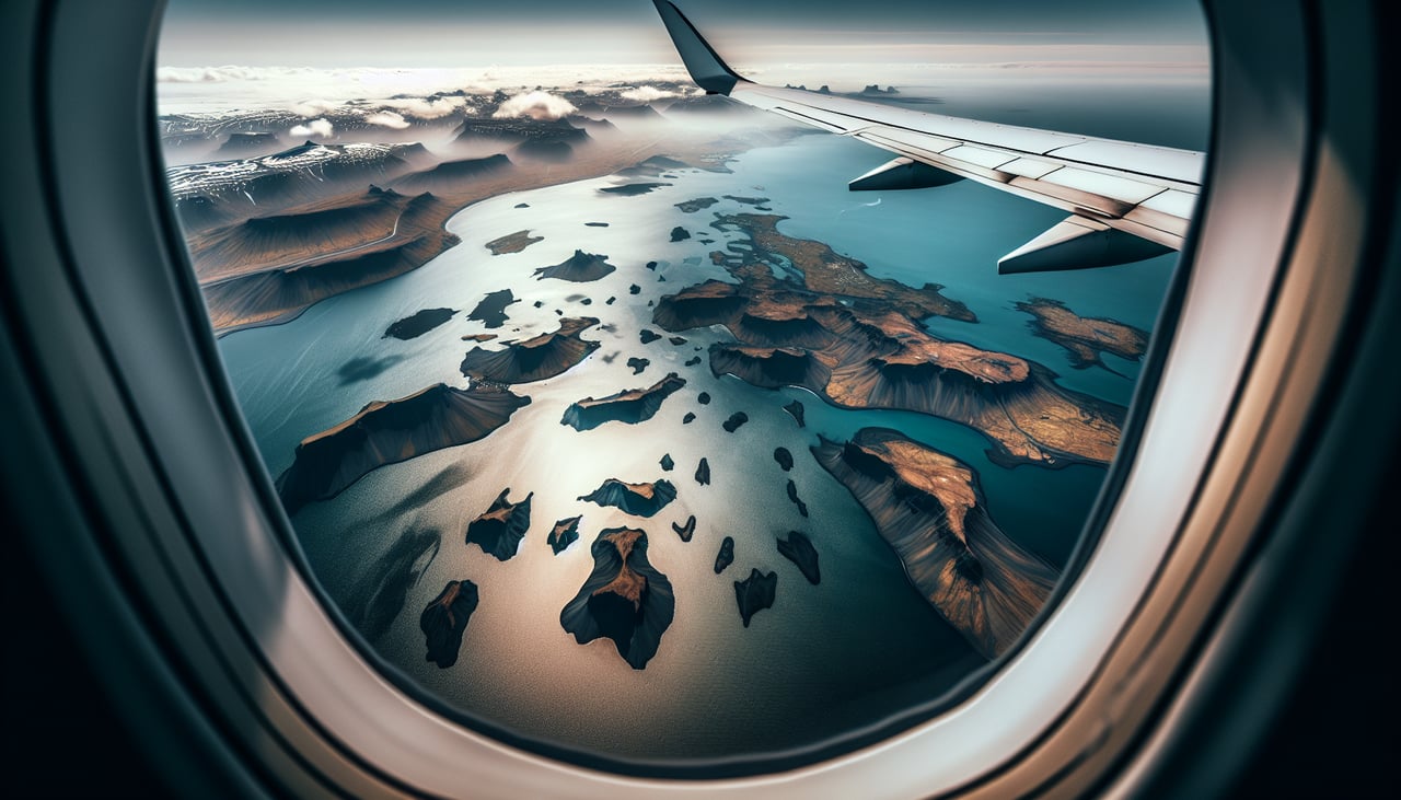
RIGHTKEF typically departs runway 02 (northbound) or 20 (southbound). Right-side seats offer views of the Reykjanes Peninsula's dramatic coastline and the geothermal landscape immediately west and south of the airport. You'll see the Atlantic meeting the lava fields and coastal cliffs that define this region.

Landing at DCA
RIGHTDCA uses runways 01/19 (north-south aligned). Approaching from the northeast on a typical descent path, right-side seats provide excellent views of the Potomac River, the National Mall with its monuments, and Arlington, Virginia. You'll see the distinctive bend of the Potomac and central Washington's grid layout.
Will your flight be in sunlight?
Pick a date and time in the Sun Map to watch the sun move across your whole flight.
About This Route
Which side of the plane should I sit on flying from Keflavik Nas (KEF) to Ronald Reagan Washington National (DCA)?
Sit on the Right side of the plane for the best views on flights from Keflavik to Washington. Right-side seats dominate both departure and arrival, offering the most dramatic geography: Iceland's volcanic coastline on departure and Washington's iconic Potomac River and monuments on arrival. The left side offers less distinctive features on both legs.
What can I see during takeoff from Keflavik Nas in Keflavik?
During takeoff from Keflavik Nas (KEF), sit on the Right side for the best views. KEF typically departs runway 02 (northbound) or 20 (southbound). Right-side seats offer views of the Reykjanes Peninsula's dramatic coastline and the geothermal landscape immediately west and south of the airport. You'll see the Atlantic meeting the lava fields and coastal cliffs that define this region. Notable sights include: Reykjanes Peninsula lava fields (dark volcanic terrain), Atlantic Ocean coastline with visible cliff formations, Grindavík geothermal area (steam plumes if conditions are right), small settlements scattered across the peninsula.
What can I see when landing at Ronald Reagan Washington National in Washington?
When landing at Ronald Reagan Washington National (DCA), sit on the Right side for the best views. DCA uses runways 01/19 (north-south aligned). Approaching from the northeast on a typical descent path, right-side seats provide excellent views of the Potomac River, the National Mall with its monuments, and Arlington, Virginia. You'll see the distinctive bend of the Potomac and central Washington's grid layout. Notable sights include: Potomac River with its characteristic meanders, Washington Monument and Lincoln Memorial area (visible as white structures in the National Mall), Arlington National Cemetery (distinctive grid pattern on the Virginia side), Theodore Roosevelt Island in the Potomac.
How long is the flight from Keflavik to Washington?
The flight from Keflavik Nas (KEF) to Ronald Reagan Washington National (DCA) takes about 6 hours. The shortest flight path between them is 2,786 miles (4,483 km); winds and air traffic control usually add a few percent.
What does the Keflavik to Washington flight path pass over?
The flight crosses the North Atlantic at high altitude (typically 33,000-35,000 feet). At midpoint, you're roughly over the Atlantic east of Greenland and west of the UK. The curvature of the great circle route means the flight passes north of Ireland and Scotland. At cruise altitude, the ocean appears as a featureless gray-blue surface with occasional cloud formations. No significant landmarks are visible at midpoint due to altitude and distance from land. The flight gradually descends as it approaches the US East Coast, with the first landfall typically occurring over Nova Scotia or New England, where coastal features and inland terrain become visible during the descent into DCA.