Right side scores higher due to the exceptional landing approach over San Francisco Bay and the Golden Gate Bridge, combined with decent takeoff views of Gwangju's urban landscape and surrounding mountains. The approach sequence alone elevates the right side significantly above the left, which offers only flat terrain and open ocean for most of the flight.
Flown KWJ to SFO? Did we get it right?
Flight Path
Kwangju to San Francisco is 5,738 miles (9,235 km), a flight of about 11 hours 15 minutes.
Aleutian Islands (distant, far north of typical routing), North Pacific Ocean (5+ hours of open water), Cascade Range (Washington state, visible during descent), Sierra Nevada (California, visible during descent approach)
Great circle distance and headings ›

Phase by phase
Takeoff from KWJ
RIGHTRight side captures Gwangju's urban sprawl and the Yeongsan River valley during initial climb, with the Honam Mountain Range visible to the north. Left side faces inland agricultural plains with minimal visual interest.
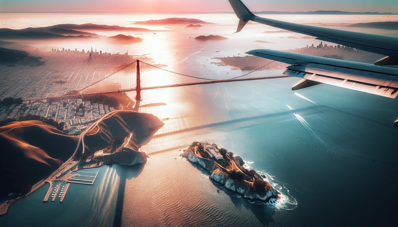
Landing at SFO
RIGHTRight side offers the most dramatic approach scenery: the San Francisco Bay, Golden Gate Bridge, Marin Headlands, and the Pacific coastline. Left side shows only inland hills and the East Bay flatlands, which lack visual distinction.
Will your flight be in sunlight?
Pick a date and time in the Sun Map to watch the sun move across your whole flight.
About This Route
Which side of the plane should I sit on flying from Gwangju (KWJ) to San Francisco International (SFO)?
Sit on the Right side of the plane for the best views on flights from Kwangju to San Francisco. Right side scores higher due to the exceptional landing approach over San Francisco Bay and the Golden Gate Bridge, combined with decent takeoff views of Gwangju's urban landscape and surrounding mountains. The approach sequence alone elevates the right side significantly above the left, which offers only flat terrain and open ocean for most of the flight.
What can I see during takeoff from Gwangju in Kwangju?
During takeoff from Gwangju (KWJ), sit on the Right side for the best views. Right side captures Gwangju's urban sprawl and the Yeongsan River valley during initial climb, with the Honam Mountain Range visible to the north. Left side faces inland agricultural plains with minimal visual interest. Notable sights include: Gwangju city center, Yeongsan River, Honam Mountain Range (north), Mudeung Mountain (northeast).
What can I see when landing at San Francisco International in San Francisco?
When landing at San Francisco International (SFO), sit on the Right side for the best views. Right side offers the most dramatic approach scenery: the San Francisco Bay, Golden Gate Bridge, Marin Headlands, and the Pacific coastline. Left side shows only inland hills and the East Bay flatlands, which lack visual distinction. Notable sights include: San Francisco Bay, Golden Gate Bridge, Marin Headlands, Pacific coastline.
How long is the flight from Kwangju to San Francisco?
The flight from Gwangju (KWJ) to San Francisco International (SFO) takes about 11 hours 15 minutes. The shortest flight path between them is 5,738 miles (9,235 km); winds and air traffic control usually add a few percent.
What does the Kwangju to San Francisco flight path pass over?
Aleutian Islands (distant, far north of typical routing), North Pacific Ocean (5+ hours of open water), Cascade Range (Washington state, visible during descent), Sierra Nevada (California, visible during descent approach)