Los Angeles to Sapporo is 5,118 miles (8,236 km), a flight of about 11 hours 30 minutes.
While landing views on the right are strong, the takeoff experience on the left—with the dramatic Santa Monica Mountains and Pacific coastline—provides more visually distinctive scenery. The left side also captures better views during the initial climb over Southern California's varied terrain.
Flight Path
The flight path crosses the North Pacific Ocean for roughly 9-10 hours. Notable geographic features along the route include: the Aleutian Islands (visible from altitude if passing near the chain), the Kamchatka Peninsula's volcanic peaks (if the flight path carries north of the standard great-circle route), and the northern Japanese island of Hokkaido's mountainous terrain as you approach. Most of the flight is over open ocean with no visible landmarks. The Kuroshio Current's warm waters may create visible cloud patterns in satellite imagery, but individual features are not distinctly visible from passenger altitude during the mid-Pacific crossing.
Great circle distance and headings ›.jpg?width=600)

Phase by phase
Takeoff from LAX
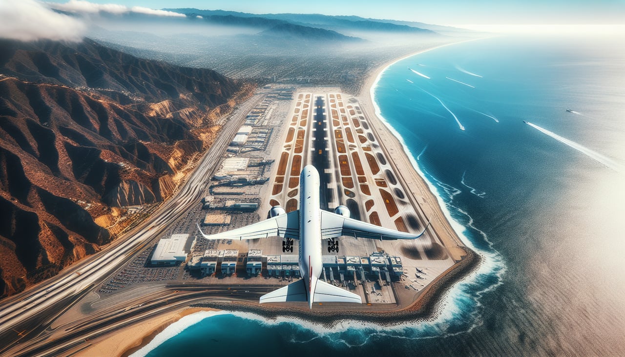
LEFTLeft-side seats offer views of the Santa Monica Mountains and Pacific coastline as the aircraft climbs westward over the Los Angeles Basin. You'll see the urban sprawl of greater LA receding below, with the ocean horizon expanding ahead.
Landing at CTS
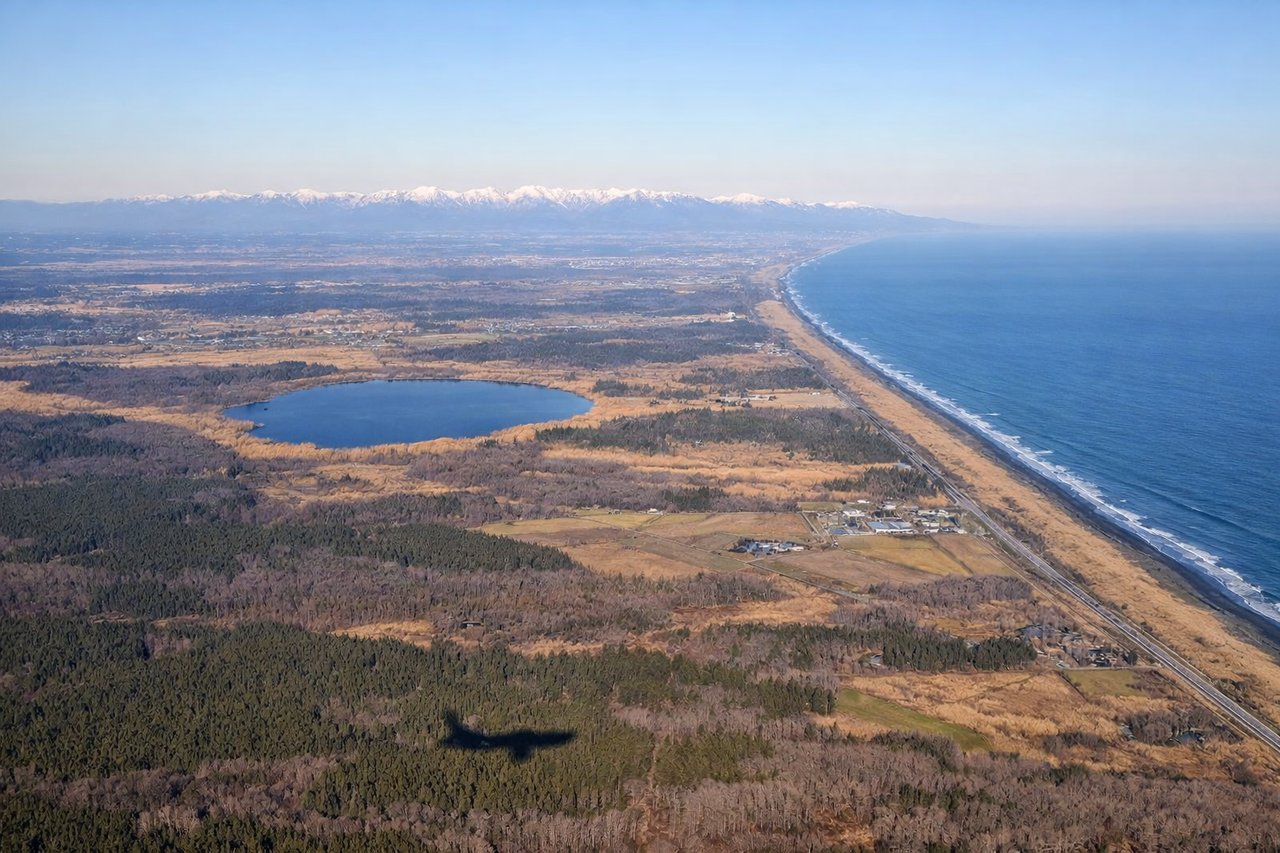
RIGHTRight-side seats provide excellent views during the descent into Chitose as the aircraft approaches from the southeast over Ishikari Bay and the coastal plains. You'll see the transition from water to agricultural land and the Sapporo urban area spreading across the Ishikari Plain.
Landmarks on this routeAll landmarks →
Will your flight be in sunlight?
Pick a date and time in the Sun Map to watch the sun move across your whole flight.
About This Route
Which side of the plane should I sit on flying from Los Angeles International (LAX) to Chitose International Airport (CTS)?
Sit on the Left side of the plane for the best views on flights from Los Angeles to Sapporo. While landing views on the right are strong, the takeoff experience on the left—with the dramatic Santa Monica Mountains and Pacific coastline—provides more visually distinctive scenery. The left side also captures better views during the initial climb over Southern California's varied terrain.
What can I see during takeoff from Los Angeles International in Los Angeles?
During takeoff from Los Angeles International (LAX), sit on the Left side for the best views. Left-side seats offer views of the Santa Monica Mountains and Pacific coastline as the aircraft climbs westward over the Los Angeles Basin. You'll see the urban sprawl of greater LA receding below, with the ocean horizon expanding ahead. Notable sights include: Santa Monica Mountains, Pacific Ocean coastline, Los Angeles urban grid, Santa Catalina Island (distant).
What can I see when landing at Chitose International Airport in Sapporo?
When landing at Chitose International Airport (CTS), sit on the Right side for the best views. Right-side seats provide excellent views during the descent into Chitose as the aircraft approaches from the southeast over Ishikari Bay and the coastal plains. You'll see the transition from water to agricultural land and the Sapporo urban area spreading across the Ishikari Plain. Notable sights include: Ishikari Bay, Ishikari Plain agricultural fields, Sapporo city grid, Daisetsu Mountains (distant northern horizon).
How long is the flight from Los Angeles to Sapporo?
The flight from Los Angeles International (LAX) to Chitose International Airport (CTS) takes about 11 hours 30 minutes. The shortest flight path between them is 5,118 miles (8,236 km); winds and air traffic control usually add a few percent.
What does the Los Angeles to Sapporo flight path pass over?
The flight path crosses the North Pacific Ocean for roughly 9-10 hours. Notable geographic features along the route include: the Aleutian Islands (visible from altitude if passing near the chain), the Kamchatka Peninsula's volcanic peaks (if the flight path carries north of the standard great-circle route), and the northern Japanese island of Hokkaido's mountainous terrain as you approach. Most of the flight is over open ocean with no visible landmarks. The Kuroshio Current's warm waters may create visible cloud patterns in satellite imagery, but individual features are not distinctly visible from passenger altitude during the mid-Pacific crossing.