While takeoff favors left, the landing approach to Juneau is the highlight of this route—right seats capture the dramatic Chilkat Mountains, Mendenhall Glacier, and Juneau Icefield. The landing view outweighs the takeoff advantage.
Flown LAX to JNU? Did we get it right?
Flight Path
Los Angeles to Juneau is 1,845 miles (2,969 km), a flight of about 4 hours 15 minutes.
The flight path crosses the Pacific northwest, passing over the Inside Passage region. Notable features include the British Columbia coast (around 2 hours out), the Alaska Panhandle's complex fjord system with numerous glaciers visible at altitude, and the Tongass National Forest's dense green canopy. The route follows the Inside Passage corridor, with Glacier Bay National Park and its tidewater glaciers visible roughly 45 minutes before landing. The Chilkat and Coast Mountains become increasingly prominent in the final hour of approach.
Great circle distance and headings ›


Phase by phase
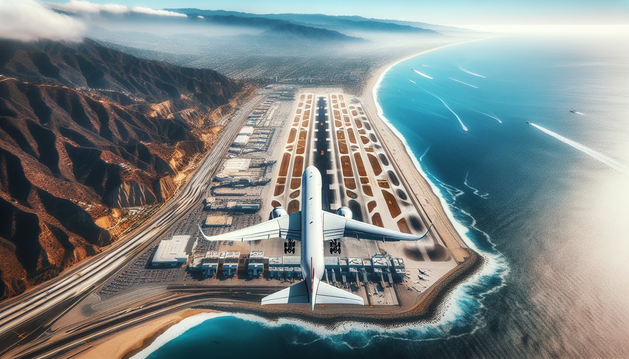
Takeoff from LAX
LEFTLAX typically departs westbound over the Pacific. Left seats face north toward the Santa Monica Mountains and Malibu coastline, while right seats look south toward Long Beach and the refineries—less scenic.
Landing at JNU
RIGHTApproaching Juneau from the south, right seats face west toward the Chilkat Mountains and Glacier Bay National Park. Left seats look east into forested terrain with fewer dramatic features.
Will your flight be in sunlight?
Pick a date and time in the Sun Map to watch the sun move across your whole flight.
About This Route
Which side of the plane should I sit on flying from Los Angeles International (LAX) to Juneau International (JNU)?
Sit on the Right side of the plane for the best views on flights from Los Angeles to Juneau. While takeoff favors left, the landing approach to Juneau is the highlight of this route—right seats capture the dramatic Chilkat Mountains, Mendenhall Glacier, and Juneau Icefield. The landing view outweighs the takeoff advantage.
What can I see during takeoff from Los Angeles International in Los Angeles?
During takeoff from Los Angeles International (LAX), sit on the Left side for the best views. LAX typically departs westbound over the Pacific. Left seats face north toward the Santa Monica Mountains and Malibu coastline, while right seats look south toward Long Beach and the refineries—less scenic. Notable sights include: Santa Monica Mountains, Malibu coastline, Santa Catalina Island (distant), Pacific Ocean.
What can I see when landing at Juneau International in Juneau?
When landing at Juneau International (JNU), sit on the Right side for the best views. Approaching Juneau from the south, right seats face west toward the Chilkat Mountains and Glacier Bay National Park. Left seats look east into forested terrain with fewer dramatic features. Notable sights include: Chilkat Mountains, Mendenhall Glacier, Juneau Icefield, Gastineau Channel.
How long is the flight from Los Angeles to Juneau?
The flight from Los Angeles International (LAX) to Juneau International (JNU) takes about 4 hours 15 minutes. The shortest flight path between them is 1,845 miles (2,969 km); winds and air traffic control usually add a few percent.
What does the Los Angeles to Juneau flight path pass over?
The flight path crosses the Pacific northwest, passing over the Inside Passage region. Notable features include the British Columbia coast (around 2 hours out), the Alaska Panhandle's complex fjord system with numerous glaciers visible at altitude, and the Tongass National Forest's dense green canopy. The route follows the Inside Passage corridor, with Glacier Bay National Park and its tidewater glaciers visible roughly 45 minutes before landing. The Chilkat and Coast Mountains become increasingly prominent in the final hour of approach.