La Coruna to Madrid is 314 miles (505 km), a flight of about 1 hour 15 minutes.
Right side wins overall because the takeoff view of the Galician coast and Atlantic is more visually distinctive than the landing approach over Madrid's urban sprawl. The coastal geography at departure is sharper and more photogenic than the plateau terrain on arrival.
Flight Path
The flight path crosses inland Galicia (Miño River valley visible), then transitions over the northern Meseta Central plateau. The Sistema Central mountains (Guadarrama and Somosierra ranges) form a distant ridge line to the south around midpoint, roughly 80 miles north of Madrid. The terrain gradually flattens as the aircraft descends toward the Madrid basin.
Great circle distance and headings ›Phase by phase
Takeoff from LCG
RIGHTRight side captures the Ría de A Coruña estuary and Atlantic coastline immediately after departure. La Coruña typically departs runway 32 (northwest heading), so right seats face seaward toward the Galician coast and open ocean.
Landing at MAD
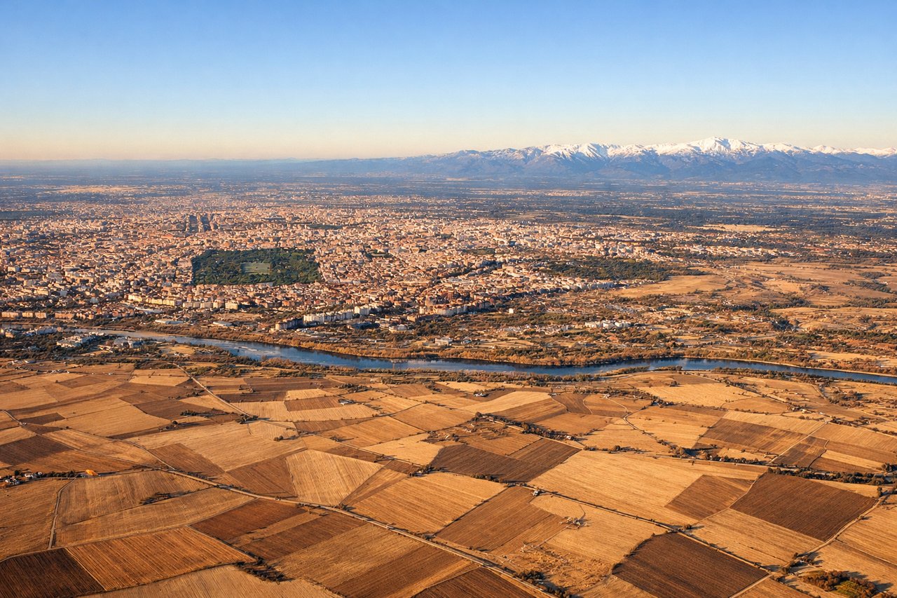
LEFTLeft side offers views of Madrid's urban sprawl and the approach corridor over the Meseta Central plateau. Barajas typically uses runways 32L/32R for westerly approaches, so left seats face south and southwest toward the city center and surrounding terrain.
Will your flight be in sunlight?
Pick a date and time in the Sun Map to watch the sun move across your whole flight.
About This Route
Which side of the plane should I sit on flying from A Coruna (LCG) to Barajas (MAD)?
Sit on the Right side of the plane for the best views on flights from La Coruna to Madrid. Right side wins overall because the takeoff view of the Galician coast and Atlantic is more visually distinctive than the landing approach over Madrid's urban sprawl. The coastal geography at departure is sharper and more photogenic than the plateau terrain on arrival.
What can I see during takeoff from A Coruna in La Coruna?
During takeoff from A Coruna (LCG), sit on the Right side for the best views. Right side captures the Ría de A Coruña estuary and Atlantic coastline immediately after departure. La Coruña typically departs runway 32 (northwest heading), so right seats face seaward toward the Galician coast and open ocean. Notable sights include: Ría de A Coruña (deep natural harbor), Atlantic Ocean, Sada peninsula to the east, Oleiros industrial zone along the southern shore.
What can I see when landing at Barajas in Madrid?
When landing at Barajas (MAD), sit on the Left side for the best views. Left side offers views of Madrid's urban sprawl and the approach corridor over the Meseta Central plateau. Barajas typically uses runways 32L/32R for westerly approaches, so left seats face south and southwest toward the city center and surrounding terrain. Notable sights include: Madrid city center and urban agglomeration, Guadarrama Mountains to the northwest (distant), Tajo River valley, Barajas airport complex and surrounding industrial zones.
How long is the flight from La Coruna to Madrid?
The flight from A Coruna (LCG) to Barajas (MAD) takes about 1 hour 15 minutes. The shortest flight path between them is 314 miles (505 km); winds and air traffic control usually add a few percent.
What does the La Coruna to Madrid flight path pass over?
The flight path crosses inland Galicia (Miño River valley visible), then transitions over the northern Meseta Central plateau. The Sistema Central mountains (Guadarrama and Somosierra ranges) form a distant ridge line to the south around midpoint, roughly 80 miles north of Madrid. The terrain gradually flattens as the aircraft descends toward the Madrid basin.