The right side offers the more scenic bookends of the journey: the English countryside and Welsh coast on departure, and the dramatic volcanic peaks above the Valley of Mexico on arrival, while the long mid-Atlantic and Gulf crossing on the left side offers little but open water.
Flight Path
Open North Atlantic Ocean south of Newfoundland, followed by the Appalachian ridgelines over the eastern United States and the Gulf of Mexico coastline before descending into the Mexican highlands
Great circle distance and headings ›.jpeg?width=600)


.jpg?width=600)
.jpeg?width=600)


_(cropped).jpg?width=600)

Phase by phase
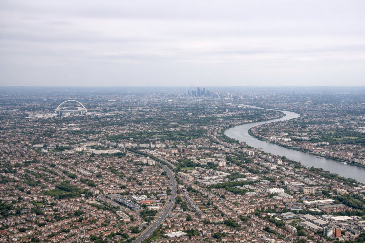
Takeoff from LHR
RIGHTWestbound departures from Heathrow typically climb out and curve north toward the Ireland corridor for the Atlantic crossing, putting the Thames Valley, Windsor, and the Cotswolds beneath the right side before the Welsh coast and Irish Sea come into view. The left side mostly shows the flatter commuter suburbs south of London.

Landing at MEX
RIGHTOn the descent into Mexico City the aircraft typically tracks in over the eastern highlands, giving right-side passengers a clear view of the snow-capped volcanoes Popocatepetl and Iztaccihuatl before the plane banks over the vast urban sprawl of the Valley of Mexico. The left side mostly shows flatter agricultural land to the west of the city.
Landmarks on this routeAll landmarks →
Will your flight be in sunlight?
See exactly which side of the plane gets sun and shade at your departure time.
About This Route
Which side of the plane should I sit on flying from Heathrow (LHR) to Licenciado Benito Juarez International (MEX)?
Sit on the Right side of the plane for the best views on flights from London to Mexico City. The right side offers the more scenic bookends of the journey: the English countryside and Welsh coast on departure, and the dramatic volcanic peaks above the Valley of Mexico on arrival, while the long mid-Atlantic and Gulf crossing on the left side offers little but open water.
What can I see during takeoff from Heathrow in London?
During takeoff from Heathrow (LHR), sit on the Right side for the best views. Westbound departures from Heathrow typically climb out and curve north toward the Ireland corridor for the Atlantic crossing, putting the Thames Valley, Windsor, and the Cotswolds beneath the right side before the Welsh coast and Irish Sea come into view. The left side mostly shows the flatter commuter suburbs south of London. Notable sights include: Windsor Castle and the Thames loop, Cotswold hills, Bristol Channel, Welsh coastline.
What can I see when landing at Licenciado Benito Juarez International in Mexico City?
When landing at Licenciado Benito Juarez International (MEX), sit on the Right side for the best views. On the descent into Mexico City the aircraft typically tracks in over the eastern highlands, giving right-side passengers a clear view of the snow-capped volcanoes Popocatepetl and Iztaccihuatl before the plane banks over the vast urban sprawl of the Valley of Mexico. The left side mostly shows flatter agricultural land to the west of the city. Notable sights include: Popocatepetl volcano, Iztaccihuatl volcano, the sprawling Valley of Mexico, surrounding Sierra mountain rim.
How long is the flight from London to Mexico City?
The flight from Heathrow (LHR) to Licenciado Benito Juarez International (MEX) takes 11h 40m.
What does the London to Mexico City flight path pass over?
Open North Atlantic Ocean south of Newfoundland, followed by the Appalachian ridgelines over the eastern United States and the Gulf of Mexico coastline before descending into the Mexican highlands