The left side bookends the flight with real scenery: Kauai's mountains and coastline on departure, and Catalina Island plus the Palos Verdes coastline on arrival. The right side sees only open ocean at takeoff and a less distinctive inland view on approach.
Flight Path
Open mid-Pacific Ocean with no landmasses; the flight path stays well south of any islands or shipping lane landmarks, so the view is uninterrupted water and cloud formations for several hours.
Great circle distance and headings ›Phase by phase

Takeoff from LIH
LEFTDeparting on Runway 03, the climb-out banks the left side toward Kauai's interior before the aircraft turns east over open ocean. Passengers get a brief but clear view of the island's green ridgelines and coastline near Lihue, something the right side over open water never offers.
Landing at LAX
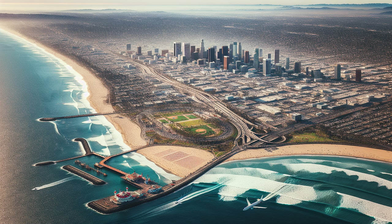
LEFTOn the typical westerly approach into LAX, the aircraft crosses south of the airport near Santa Catalina Island and the Palos Verdes Peninsula before turning onto final. This puts sweeping views of the island, the peninsula's cliffs, and the curving South Bay coastline on the left side during descent.
Landmarks on this routeAll landmarks →
Will your flight be in sunlight?
See exactly which side of the plane gets sun and shade at your departure time.
About This Route
Which side of the plane should I sit on flying from Lihue (LIH) to Los Angeles International (LAX)?
Sit on the Left side of the plane for the best views on flights from Lihue to Los Angeles. The left side bookends the flight with real scenery: Kauai's mountains and coastline on departure, and Catalina Island plus the Palos Verdes coastline on arrival. The right side sees only open ocean at takeoff and a less distinctive inland view on approach.
What can I see during takeoff from Lihue in Lihue?
During takeoff from Lihue (LIH), sit on the Left side for the best views. Departing on Runway 03, the climb-out banks the left side toward Kauai's interior before the aircraft turns east over open ocean. Passengers get a brief but clear view of the island's green ridgelines and coastline near Lihue, something the right side over open water never offers. Notable sights include: Nounou Ridge (Sleeping Giant), Mount Waialeale's rain-soaked slopes, Wailua River valley, Kauai's east coast shoreline.
What can I see when landing at Los Angeles International in Los Angeles?
When landing at Los Angeles International (LAX), sit on the Left side for the best views. On the typical westerly approach into LAX, the aircraft crosses south of the airport near Santa Catalina Island and the Palos Verdes Peninsula before turning onto final. This puts sweeping views of the island, the peninsula's cliffs, and the curving South Bay coastline on the left side during descent. Notable sights include: Santa Catalina Island, Palos Verdes Peninsula, Santa Monica Bay coastline, South Bay beach cities (Redondo/Manhattan Beach).
How long is the flight from Lihue to Los Angeles?
The flight from Lihue (LIH) to Los Angeles International (LAX) takes 5h 20m.
What does the Lihue to Los Angeles flight path pass over?
Open mid-Pacific Ocean with no landmasses; the flight path stays well south of any islands or shipping lane landmarks, so the view is uninterrupted water and cloud formations for several hours.