The right side wins overall because the Dulles arrival view of the Potomac, DC monuments, and Blue Ridge is a genuinely iconic and rewarding approach. The takeoff left-side Andes view is spectacular but often obscured by Lima's persistent coastal stratus. During the flight itself, the right side also offers views of the Caribbean coastline and Gulf of Mexico as the route tracks north through Central America.
Flown LIM to IAD? Did we get it right?
Flight Path
Lima to Washington is 3,522 miles (5,667 km), a flight of about 7 hours 10 minutes.
The route tracks north along the Pacific coast of Peru and Ecuador before crossing Colombia and entering the Caribbean. The Andes are visible to the right (east) for the first hour or two. The route then crosses the Caribbean Sea, offering open water views, before crossing Cuba or the Bahamas and tracking up the US East Coast. The Gulf Stream and Bahamas island chains may be visible on the right side approaching the US.
Great circle distance and headings ›

Phase by phase
Takeoff from LIM
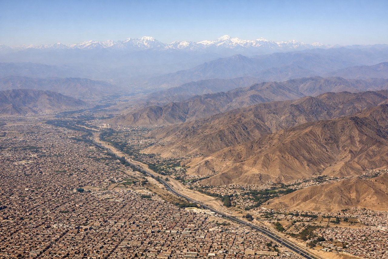
LEFTJorge Chavez typically departs on runway 15 (heading southeast) or runway 33 (heading northwest). On the more common northbound departures toward the US, the left side faces east toward the Andes. The Andes rise dramatically from the coastal desert just 30-40 miles inland, with peaks exceeding 18,000 feet visible on clear mornings.
Landing at IAD
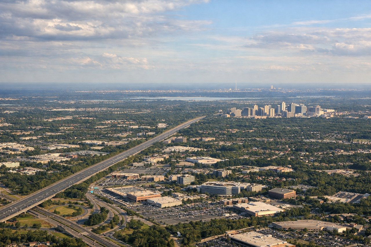
RIGHTDulles typically lands on runway 01R/19L or 01L/19R, with approaches often from the south or southwest. On a southwesterly approach, the right side faces northwest toward the Potomac River, the Blue Ridge Mountains in the distance, and the Washington DC monuments corridor. The left side faces southeast toward suburban Virginia sprawl with fewer distinctive features.
Will your flight be in sunlight?
Pick a date and time in the Sun Map to watch the sun move across your whole flight.
About This Route
Which side of the plane should I sit on flying from Jorge Chávez International Airport (LIM) to Washington Dulles International (IAD)?
Sit on the Right side of the plane for the best views on flights from Lima to Washington. The right side wins overall because the Dulles arrival view of the Potomac, DC monuments, and Blue Ridge is a genuinely iconic and rewarding approach. The takeoff left-side Andes view is spectacular but often obscured by Lima's persistent coastal stratus. During the flight itself, the right side also offers views of the Caribbean coastline and Gulf of Mexico as the route tracks north through Central America.
What can I see during takeoff from Jorge Chávez International Airport in Lima?
During takeoff from Jorge Chávez International Airport (LIM), sit on the Left side for the best views. Jorge Chavez typically departs on runway 15 (heading southeast) or runway 33 (heading northwest). On the more common northbound departures toward the US, the left side faces east toward the Andes. The Andes rise dramatically from the coastal desert just 30-40 miles inland, with peaks exceeding 18,000 feet visible on clear mornings. Notable sights include: Andes cordillera rising from the coastal desert, Lima's urban sprawl along the Pacific coast, the Rio Rimac valley cutting into the mountains, Callao port district and harbor.
What can I see when landing at Washington Dulles International in Washington?
When landing at Washington Dulles International (IAD), sit on the Right side for the best views. Dulles typically lands on runway 01R/19L or 01L/19R, with approaches often from the south or southwest. On a southwesterly approach, the right side faces northwest toward the Potomac River, the Blue Ridge Mountains in the distance, and the Washington DC monuments corridor. The left side faces southeast toward suburban Virginia sprawl with fewer distinctive features. Notable sights include: Potomac River and its broad curves through the DC metro area, Washington DC monument corridor including the National Mall axis, Blue Ridge Mountains on the western horizon, Tysons Corner urban cluster in the near foreground.
How long is the flight from Lima to Washington?
The flight from Jorge Chávez International Airport (LIM) to Washington Dulles International (IAD) takes about 7 hours 10 minutes. The shortest flight path between them is 3,522 miles (5,667 km); winds and air traffic control usually add a few percent.
What does the Lima to Washington flight path pass over?
The route tracks north along the Pacific coast of Peru and Ecuador before crossing Colombia and entering the Caribbean. The Andes are visible to the right (east) for the first hour or two. The route then crosses the Caribbean Sea, offering open water views, before crossing Cuba or the Bahamas and tracking up the US East Coast. The Gulf Stream and Bahamas island chains may be visible on the right side approaching the US.