The right side scores higher (3.0 vs 2.5) due to the landing sequence. While Chennai's takeoff offers brief urban and harbor views, Dublin's approach over the Wicklow Mountains and Dublin Bay provides sustained scenic drama and landmark density. The cruise phase over the Arabian Sea and Indian Ocean is equally featureless on both sides (ocean-dominated, capped at 2.0), but the landing advantage on the right side tips the overall score. Right-side passengers see mountains, bay, estuary, and harbor in sequence during descent—far more visually rewarding than the flat inland approach from the left.
Flown MAA to DUB? Did we get it right?
Flight Path
Madras to Dublin is 5,354 miles (8,616 km), a flight of about 8 hours 45 minutes.
Arabian Sea (open water, 4+ hours), Oman coastline and Gulf of Oman (mountains of Musandam Peninsula visible from altitude on rare clear days), Persian Gulf approaches, Zagros Mountains of Iran (distant, on horizon during northern routing), Mesopotamian plains, Taurus Mountains of southern Turkey (if routed via Turkey), Mediterranean Sea, Pyrenees or Alps (depending on routing through France/Switzerland), English Channel, Irish Sea
Great circle distance and headings ›Phase by phase
Takeoff from MAA
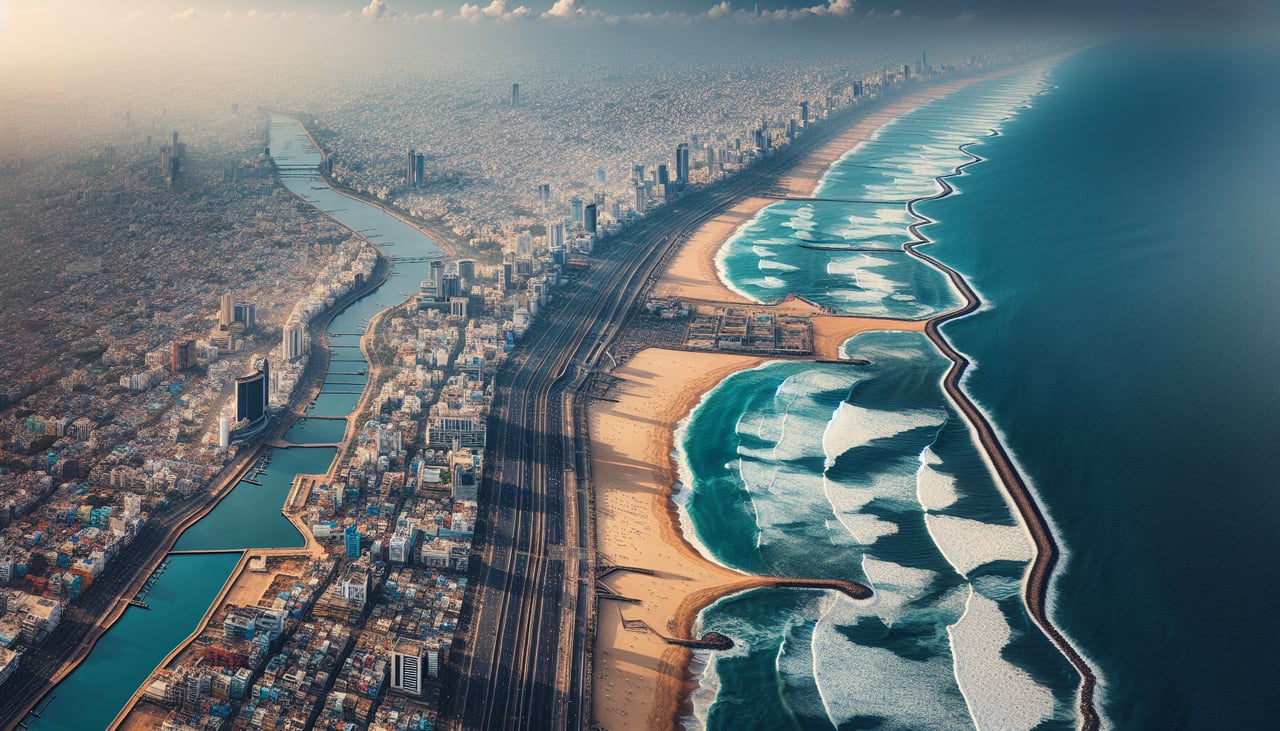
LEFTChennai's urban sprawl and harbor are visible on the left (north/west) side during typical westbound departures. The city extends inland from the Bay of Bengal coastline, offering brief urban texture before climbing over open water.
Landing at DUB
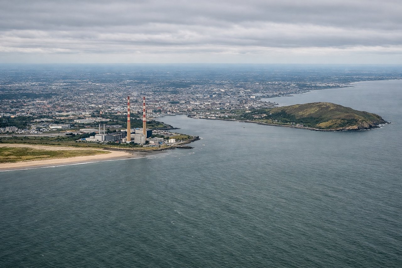
RIGHTDublin's approach from the east typically descends over the Irish Sea and the Wicklow Mountains. The right (north) side captures the dramatic granite peaks of Wicklow, the Dublin Bay coastline, and the city's harbor and Liffey estuary during final approach—far more scenic than the flat inland approach from the left.
Will your flight be in sunlight?
Pick a date and time in the Sun Map to watch the sun move across your whole flight.
About This Route
Which side of the plane should I sit on flying from Chennai International (MAA) to Dublin (DUB)?
Sit on the Right side of the plane for the best views on flights from Madras to Dublin. The right side scores higher (3.0 vs 2.5) due to the landing sequence. While Chennai's takeoff offers brief urban and harbor views, Dublin's approach over the Wicklow Mountains and Dublin Bay provides sustained scenic drama and landmark density. The cruise phase over the Arabian Sea and Indian Ocean is equally featureless on both sides (ocean-dominated, capped at 2.0), but the landing advantage on the right side tips the overall score. Right-side passengers see mountains, bay, estuary, and harbor in sequence during descent—far more visually rewarding than the flat inland approach from the left.
What can I see during takeoff from Chennai International in Madras?
During takeoff from Chennai International (MAA), sit on the Left side for the best views. Chennai's urban sprawl and harbor are visible on the left (north/west) side during typical westbound departures. The city extends inland from the Bay of Bengal coastline, offering brief urban texture before climbing over open water. Notable sights include: Chennai city grid and harbor, Bay of Bengal coastline, Cooum River delta.
What can I see when landing at Dublin in Dublin?
When landing at Dublin (DUB), sit on the Right side for the best views. Dublin's approach from the east typically descends over the Irish Sea and the Wicklow Mountains. The right (north) side captures the dramatic granite peaks of Wicklow, the Dublin Bay coastline, and the city's harbor and Liffey estuary during final approach—far more scenic than the flat inland approach from the left. Notable sights include: Wicklow Mountains (granite peaks), Dublin Bay and harbor, Liffey River estuary, Dublin city center.
How long is the flight from Madras to Dublin?
The flight from Chennai International (MAA) to Dublin (DUB) takes about 8 hours 45 minutes. The shortest flight path between them is 5,354 miles (8,616 km); winds and air traffic control usually add a few percent.
What does the Madras to Dublin flight path pass over?
Arabian Sea (open water, 4+ hours), Oman coastline and Gulf of Oman (mountains of Musandam Peninsula visible from altitude on rare clear days), Persian Gulf approaches, Zagros Mountains of Iran (distant, on horizon during northern routing), Mesopotamian plains, Taurus Mountains of southern Turkey (if routed via Turkey), Mediterranean Sea, Pyrenees or Alps (depending on routing through France/Switzerland), English Channel, Irish Sea