While takeoff offers some coastal interest on the left, the landing approach on the right provides superior views of the dramatic Himalayan foothills and Teesta River valley—the most visually distinctive geography on this route. The approach phase typically lasts longer than climb-out, giving more viewing time.
Flight Path
The flight path crosses central India from southeast to northwest. Notable features include the Godavari River basin (visible around 1 hour into flight), the Deccan Plateau's gradual elevation, and the transition from Tamil Nadu's coastal plains through Andhra Pradesh and Odisha toward the Gangetic plains. The Mahanadi River is visible in eastern Odisha. As the aircraft approaches Bengal airspace, the terrain flattens significantly before the final climb into the Himalayan foothills near Bagdogra. The entire route follows relatively clear geography with few major mountain ranges blocking the view until the final approach.
Great circle distance and headings ›Phase by phase

Takeoff from MAA
LEFTChennai typically departs runway 06 (northeast heading). Left seats face northwest initially, giving views of the Cooum River delta and the Bay of Bengal coastline as the aircraft climbs. Right seats see inland urban sprawl with less distinctive geography.
Landing at IXB
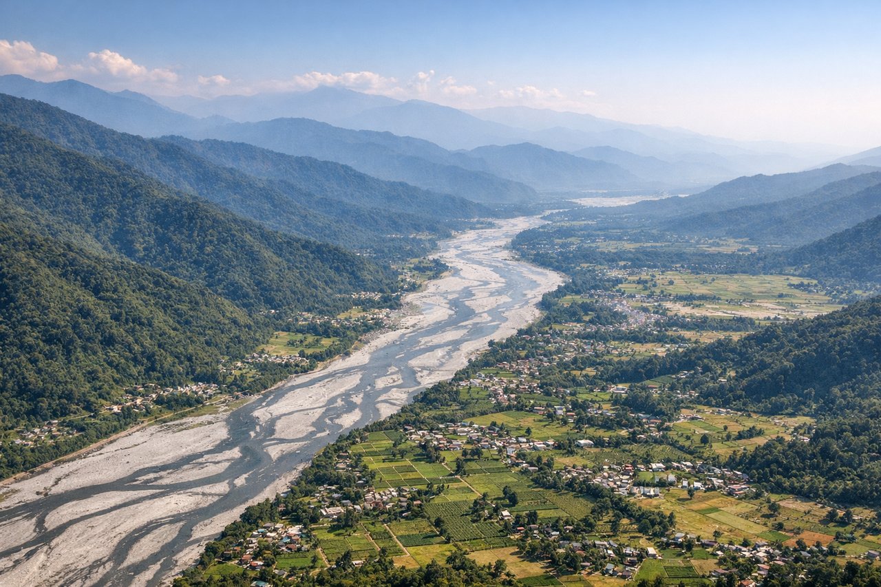
RIGHTBagdogra typically lands on runway 10 (east-northeast heading). Right seats face north-northeast during final approach, providing clear views of the Himalayan foothills and the Teesta River valley. Left seats see the plains to the south with less dramatic terrain.
Will your flight be in sunlight?
See exactly which side of the plane gets sun and shade at your departure time.
About This Route
Which side of the plane should I sit on flying from Chennai International (MAA) to Bagdogra (IXB)?
Sit on the Right side of the plane for the best views on flights from Madras to Baghdogra. While takeoff offers some coastal interest on the left, the landing approach on the right provides superior views of the dramatic Himalayan foothills and Teesta River valley—the most visually distinctive geography on this route. The approach phase typically lasts longer than climb-out, giving more viewing time.
What can I see during takeoff from Chennai International in Madras?
During takeoff from Chennai International (MAA), sit on the Left side for the best views. Chennai typically departs runway 06 (northeast heading). Left seats face northwest initially, giving views of the Cooum River delta and the Bay of Bengal coastline as the aircraft climbs. Right seats see inland urban sprawl with less distinctive geography. Notable sights include: Cooum River estuary, Bay of Bengal coastline, Chennai harbor area, inland agricultural plains transitioning to urban zones.
What can I see when landing at Bagdogra in Baghdogra?
When landing at Bagdogra (IXB), sit on the Right side for the best views. Bagdogra typically lands on runway 10 (east-northeast heading). Right seats face north-northeast during final approach, providing clear views of the Himalayan foothills and the Teesta River valley. Left seats see the plains to the south with less dramatic terrain. Notable sights include: Eastern Himalayan foothills, Teesta River valley, Darjeeling district hills, Siliguri plains to the south.
How long is the flight from Madras to Baghdogra?
The flight from Chennai International (MAA) to Bagdogra (IXB) takes Approximately 2 hours 15 minutes.
What does the Madras to Baghdogra flight path pass over?
The flight path crosses central India from southeast to northwest. Notable features include the Godavari River basin (visible around 1 hour into flight), the Deccan Plateau's gradual elevation, and the transition from Tamil Nadu's coastal plains through Andhra Pradesh and Odisha toward the Gangetic plains. The Mahanadi River is visible in eastern Odisha. As the aircraft approaches Bengal airspace, the terrain flattens significantly before the final climb into the Himalayan foothills near Bagdogra. The entire route follows relatively clear geography with few major mountain ranges blocking the view until the final approach.