Left side captures the most dramatic scenery: Madrid's mountains at departure and the Massif Central foothills during the cruise phase. Landing views favor right, but takeoff and midpoint scenery are more compelling on the left.
Flown MAD to BOD? Did we get it right?
Flight Path
Madrid to Bordeaux is 333 miles (536 km), a flight of about 1 hour 15 minutes.
The flight path crosses the Spanish plateau (Meseta) northward, passing east of the Sistema Central mountains. Around midpoint, you'll see the Duero River valley (Spain) transitioning into the Aquitaine region. The Massif Central's western slopes become visible on the left (east) as you approach French airspace, appearing as rolling, forested terrain. The Loire River valley may be visible to the left during descent into Bordeaux. The terrain gradually transitions from Spanish plateau to French agricultural lowlands with increasing forest coverage.
Great circle distance and headings ›Phase by phase
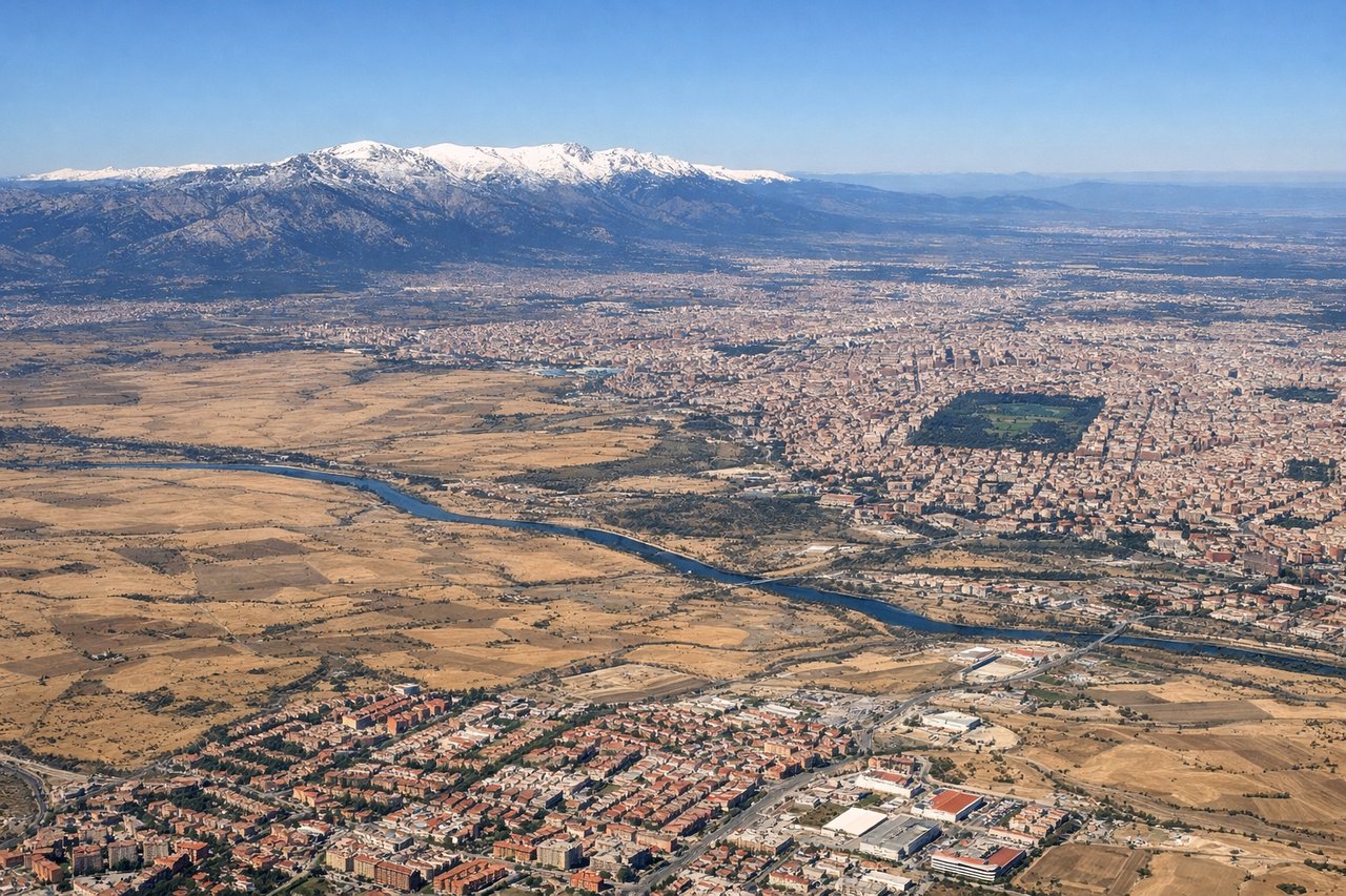
Takeoff from MAD
LEFTLeft side offers views of Madrid's urban sprawl and the Sierra de Guadarrama mountains to the north during climb-out. Right side faces open plateau with less visual interest.
Landing at BOD
RIGHTRight side provides views of the Garonne River approaching Bordeaux and the city's distinctive urban layout. Left side shows less distinctive terrain as you descend into the Aquitaine plain.
Will your flight be in sunlight?
Pick a date and time in the Sun Map to watch the sun move across your whole flight.
About This Route
Which side of the plane should I sit on flying from Barajas (MAD) to Merignac (BOD)?
Sit on the Left side of the plane for the best views on flights from Madrid to Bordeaux. Left side captures the most dramatic scenery: Madrid's mountains at departure and the Massif Central foothills during the cruise phase. Landing views favor right, but takeoff and midpoint scenery are more compelling on the left.
What can I see during takeoff from Barajas in Madrid?
During takeoff from Barajas (MAD), sit on the Left side for the best views. Left side offers views of Madrid's urban sprawl and the Sierra de Guadarrama mountains to the north during climb-out. Right side faces open plateau with less visual interest. Notable sights include: Sierra de Guadarrama (north), Madrid city grid and Retiro Park (south), Tagus River valley (east).
What can I see when landing at Merignac in Bordeaux?
When landing at Merignac (BOD), sit on the Right side for the best views. Right side provides views of the Garonne River approaching Bordeaux and the city's distinctive urban layout. Left side shows less distinctive terrain as you descend into the Aquitaine plain. Notable sights include: Garonne River (prominent meander), Bordeaux city center and port district, Aquitaine pine forests (south and east), Atlantic coastal plains (west).
How long is the flight from Madrid to Bordeaux?
The flight from Barajas (MAD) to Merignac (BOD) takes about 1 hour 15 minutes. The shortest flight path between them is 333 miles (536 km); winds and air traffic control usually add a few percent.
What does the Madrid to Bordeaux flight path pass over?
The flight path crosses the Spanish plateau (Meseta) northward, passing east of the Sistema Central mountains. Around midpoint, you'll see the Duero River valley (Spain) transitioning into the Aquitaine region. The Massif Central's western slopes become visible on the left (east) as you approach French airspace, appearing as rolling, forested terrain. The Loire River valley may be visible to the left during descent into Bordeaux. The terrain gradually transitions from Spanish plateau to French agricultural lowlands with increasing forest coverage.