Right-side seats capture the most dramatic geography: the Sierra de Guadarrama on departure and the Cordillera Central on arrival. However, the landing view (left side) is more visually striking due to the Andes' scale. Right wins overall because the departure view is more consistently clear and the Sierra provides excellent orientation for the first hours of flight.
Flown MAD to BOG? Did we get it right?
Flight Path
Madrid to Bogota is 4,990 miles (8,031 km), a flight of about 9 hours 15 minutes.
The flight crosses the Atlantic Ocean for roughly 6 hours, then enters Caribbean airspace. Notable geographic transitions include: the Iberian Peninsula and Atlas Mountains (first 1 hour), Atlantic Ocean (6 hours with occasional glimpses of Azores if routed south), Caribbean islands and Yucatan Peninsula (approaching Central America), Central American highlands including Honduras and Nicaragua mountain ranges (2-3 hours before descent), then the Colombian Pacific coast and Cordillera Occidental before reaching the Bogota approach corridor. The Cauca and Magdalena river valleys become visible during the final descent into the Bogota savanna.
Great circle distance and headings ›

Phase by phase
Takeoff from MAD
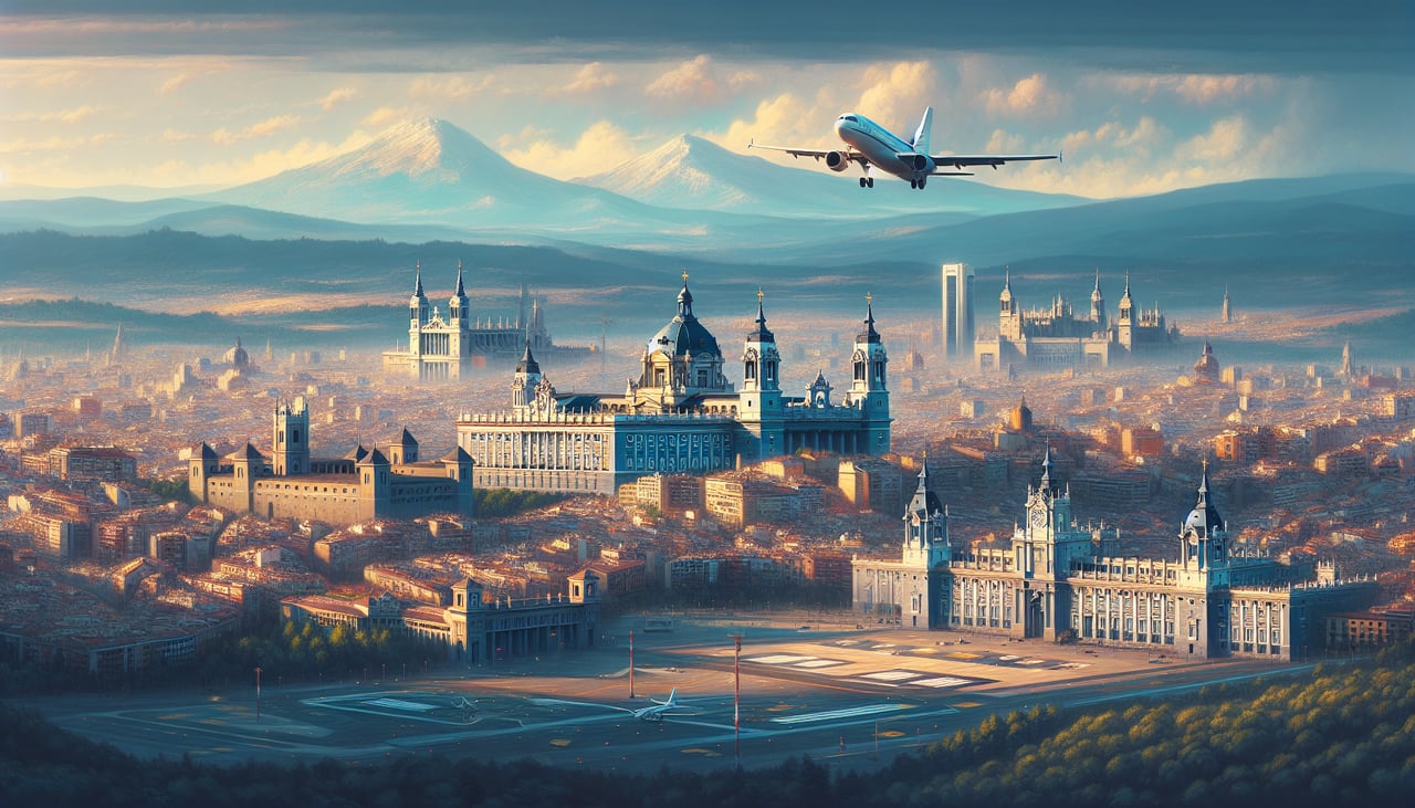
RIGHTMadrid-Barajas typically departs runways 32L/R (northwest heading) or 01L/R (north heading). Right-side seats offer views of the Sierra de Guadarrama mountain range to the north and northwest, the defining geographic feature visible during climb-out. Left seats face the flat Meseta plateau extending south and east.
Landing at BOG
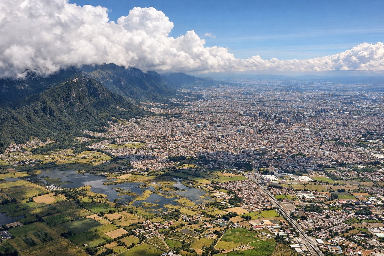
LEFTBogota's Eldorado International uses runways 01L/R (north approach) or 10L/R (east approach). Left-side seats during descent offer views of the Cordillera Central (Eastern Range of the Colombian Andes) rising dramatically to the east and southeast, the most visually striking feature on approach. The airport sits in the high Bogota savanna at 8,362 feet elevation, surrounded by these mountains.
Will your flight be in sunlight?
Pick a date and time in the Sun Map to watch the sun move across your whole flight.
About This Route
Which side of the plane should I sit on flying from Barajas (MAD) to Eldorado International (BOG)?
Sit on the Right side of the plane for the best views on flights from Madrid to Bogota. Right-side seats capture the most dramatic geography: the Sierra de Guadarrama on departure and the Cordillera Central on arrival. However, the landing view (left side) is more visually striking due to the Andes' scale. Right wins overall because the departure view is more consistently clear and the Sierra provides excellent orientation for the first hours of flight.
What can I see during takeoff from Barajas in Madrid?
During takeoff from Barajas (MAD), sit on the Right side for the best views. Madrid-Barajas typically departs runways 32L/R (northwest heading) or 01L/R (north heading). Right-side seats offer views of the Sierra de Guadarrama mountain range to the north and northwest, the defining geographic feature visible during climb-out. Left seats face the flat Meseta plateau extending south and east. Notable sights include: Sierra de Guadarrama (snow-capped peaks on horizon during winter/spring), Manzanares River valley (threading through Madrid's northern suburbs), Madrid city sprawl (grid pattern visible below), Retiro Park and Casa de Campo (green patches in urban matrix).
What can I see when landing at Eldorado International in Bogota?
When landing at Eldorado International (BOG), sit on the Left side for the best views. Bogota's Eldorado International uses runways 01L/R (north approach) or 10L/R (east approach). Left-side seats during descent offer views of the Cordillera Central (Eastern Range of the Colombian Andes) rising dramatically to the east and southeast, the most visually striking feature on approach. The airport sits in the high Bogota savanna at 8,362 feet elevation, surrounded by these mountains. Notable sights include: Cordillera Central peaks (including Monserrate at 10,341 feet visible as a prominent peak southeast of the city), Bogota city sprawl (dense urban grid on the savanna floor), Tequendama Falls area (south of city, though falls themselves not visible from altitude), Río Magdalena valley (broad depression visible to the west).
How long is the flight from Madrid to Bogota?
The flight from Barajas (MAD) to Eldorado International (BOG) takes about 9 hours 15 minutes. The shortest flight path between them is 4,990 miles (8,031 km); winds and air traffic control usually add a few percent.
What does the Madrid to Bogota flight path pass over?
The flight crosses the Atlantic Ocean for roughly 6 hours, then enters Caribbean airspace. Notable geographic transitions include: the Iberian Peninsula and Atlas Mountains (first 1 hour), Atlantic Ocean (6 hours with occasional glimpses of Azores if routed south), Caribbean islands and Yucatan Peninsula (approaching Central America), Central American highlands including Honduras and Nicaragua mountain ranges (2-3 hours before descent), then the Colombian Pacific coast and Cordillera Occidental before reaching the Bogota approach corridor. The Cauca and Magdalena river valleys become visible during the final descent into the Bogota savanna.